Itineraries
Visit Itinerary
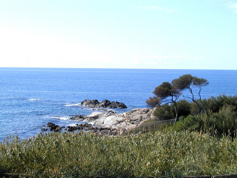
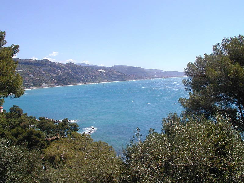
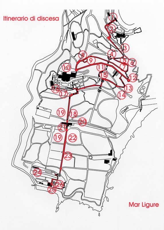
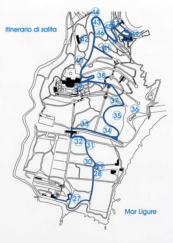
The suggested visit route develops along a downhill itinerary beginning from the porter's lodge (103m asl) and leading until the edge of the beach, and an uphill itinerary.
Itineraries for motion/sensory disabled people
In a suitable area of the property, situated near the beach and the small refreshment point, a new equipped visitor point has been established to welcome tourist groups and people with walking difficulties or disabilities.
It is a pseudo-flat area situated far away in comparison to the entrance gate for visitors, that will be led to the area by an electrical vehicle suitable for the transport of people with disabilities.
Such a vehicle has two front seats (one for the driver and one for the helper) and a rear platform equipped with a ramp and safety belts to carry a wheelchair. Through a booking service a driver working for the center (belonging to the institution or to the cooperative in charge of the tourist services) will accompany the wheelchair-users and the people with sensory disabilities to the equipped area.
Alta Via dei Monti Liguri
A large green way, between eagles and whales
Walking the Alta Via dei Monti Liguri is one of the most fascinating ways to enjoy Liguria's beauties; it is like a very long double showcase extending for more than 400 kilometers and overlooking the sea on one side and the Po Valley and the Alps on the other side.