Points of Interest
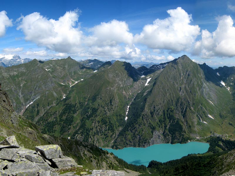
Antrona Lake
Several calamities followed one another during the Spanish rule in Ossola: floods, drought, landslides. At that time, the stream Troncone used to run in the valley bottom. But its banks were dissymmetric. The left one was very large and covered with meadows and fields, the righ one was covered with woods. The stretch of the left bank of Troncone, well-exposed to the sun, extended from Antronapiana for about two kilometers, slightly sloping to the mountain pastures now at the bottom of the lake, connected by the ancient road leading to Antrona Pass and then to Saas Valley.
The 1642 Landslide
On 27th July 1642, a huge landslide breaking away from the slopes of Mt. Pozzuoli fell on the underlying plateau, involving also a part of the houses of Grognasca and delle Case country hamlets and burying 95 inhabitants, taken by surprise while they were sleeping and had no chance to escape such violence. The barrage of the valley closed the way to the passage of the waters of Troncone which, upstream the landslide, became a lake, now called Antrona Lake. After the first moments of dismay, the inhabitants of Antrona were able to recover without help from the outside, and with constancy they tried to survive in such an unlucky town. Some of them, because of the crisis which followed the event, emigrated to other regions. (Landslide data: about 20 million cubic meters on a surface area of about 375,000 square meters). Since 1926, the lake has been used as a water reserve for the underlying power plant of Rovesca.
The Artificial Lakes of Antrona Valley
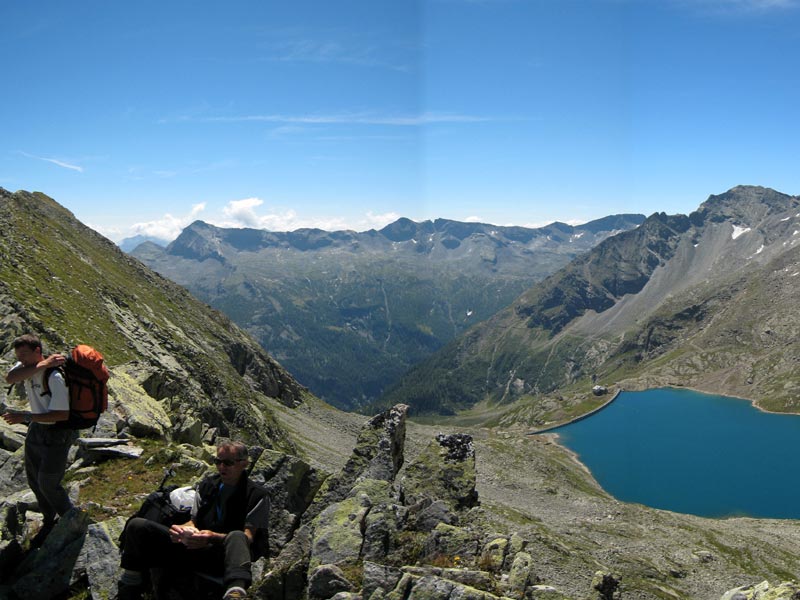
The verticality of the slopes and the richness in waters and natural lakes favored in the early 20th century an intense exploitation of the water resources for the production of hydroelectric energy (artificial basins of Campliccioli, Cingino, Camposecco, Bacino Alpe Cavalli and, of course, Antrona Lake). Campliccioli Lake, 62m deep, is the deepest lake in Ossola.
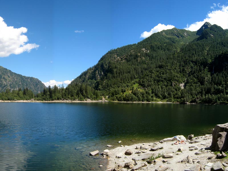
The natural lakes of Antrona Valley. The valley preserves 18 natural mountain lakes, all of them situated at an altitude of over 2,000m. The four small lakes of Ciapivul, situated in various deserted basins on the northern slope of Punta Turiggia in Loranco narrow valley and hardly accessible, include the highest natural lake of Antrona Valley (Ciapivul minore ovest 2,673m) and the largest one (Ciapivul grande 20,000 square meters). The alpine grasslands and the expanses of crushed rocks where the blue stretches of water of the small lakes are a place almost cut off from the world, where the loneliness and severity of the high mountains are absolute. Trivera small lakes, at 2,100m of altitude, are the destination for several tours along the well-marked trails. They are characteristic glacial cirque lakes obtained from morainic materail and detritus fallen from the rocks of Pizzo del Ton. Other interesting lakes are Pozzuoli or Ruazzei Lakes, Pianei or Montalto Lakes, Ogaggia Lake (2,190m), and Lonze Lake (2,040m).