

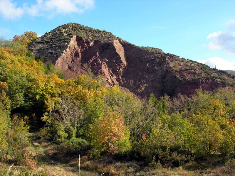
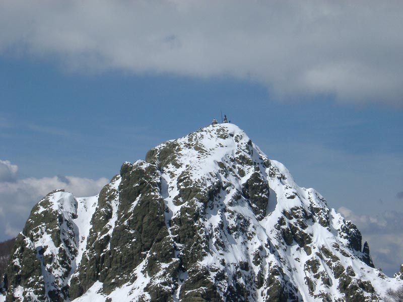
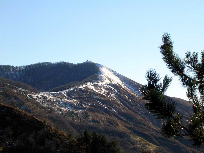
Itineraries
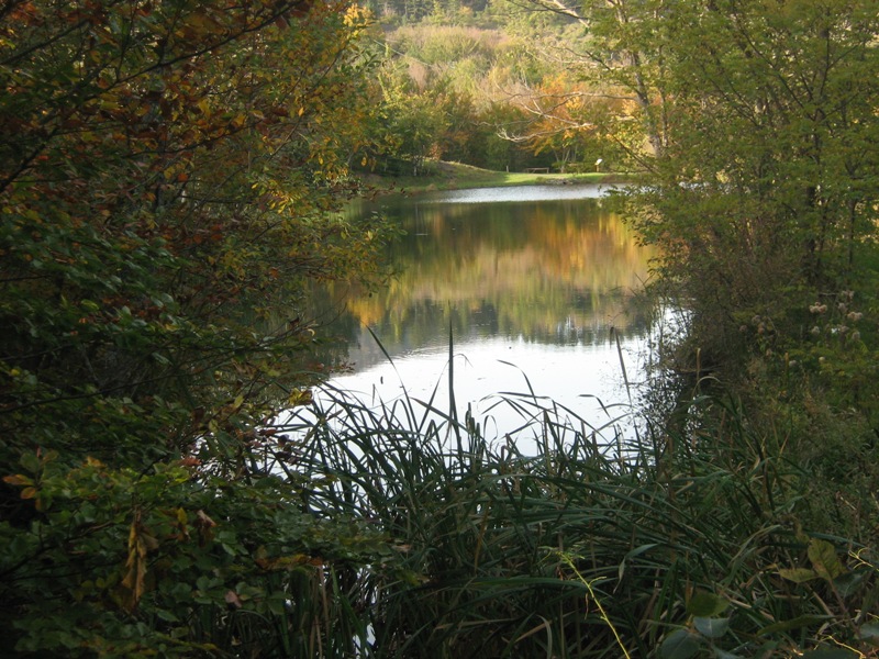
Besides Alta Via dei Monti Liguri (Italian Text), which crosses the whole territory, there are several itineraries to explore and discover the Park.
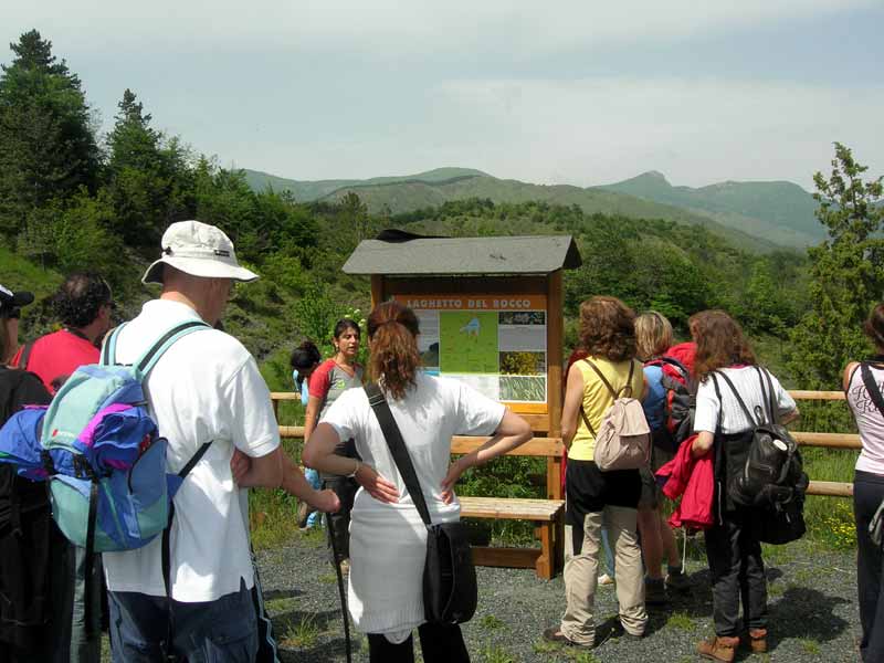
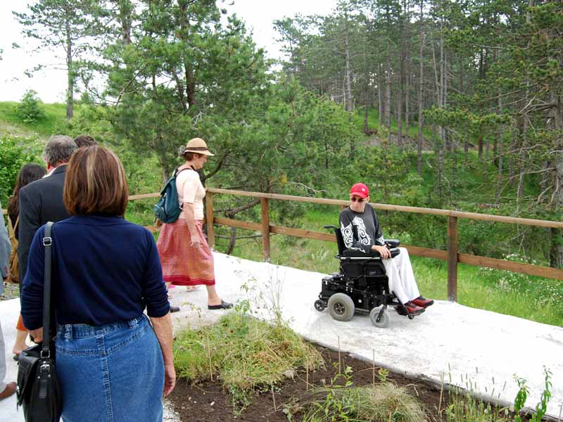
A Park Accessible to Everyone
Aveto Park has started a series of initiatives and measures aiming at promoting the greatest accessibility along some trails and for some accommodation structures, visitor centers, and educational areas.
The following ones are already open to the public.
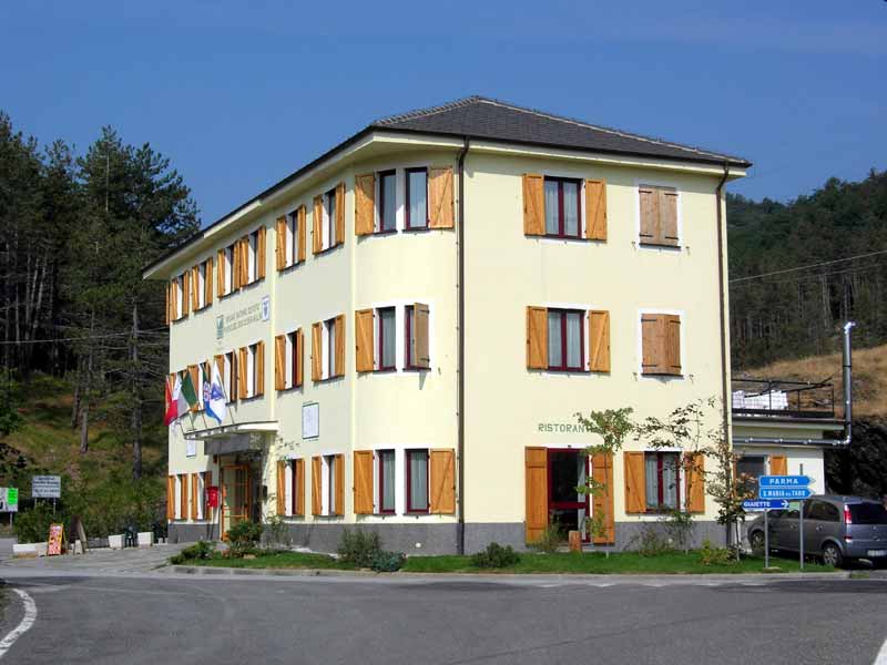
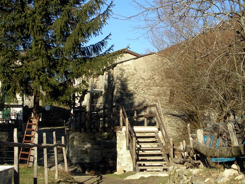
"A. Devoto" Mountain Hut
"A. Devoto" Mountain Hut enjoys a strategic position: as a matter of fact, it is situated at Bocco Pass, an important crossroads between the provinces of Genoa, Parma, and La Spezia, in one of the most important green areas of Liguria. The Mountain Hut offers 44 beds; it is possible to stay in single, double, or triple rooms, divided on two floors. Toilets and showers are available on every floor. The mountain hut is also equipped with handicap elevator, rooms, and services for people with disabilities. On the ground floor, you will find the café and restaurant, offering dishes of the local tradition, simple but extraordinarily rich in taste.
Recommended Itineraries
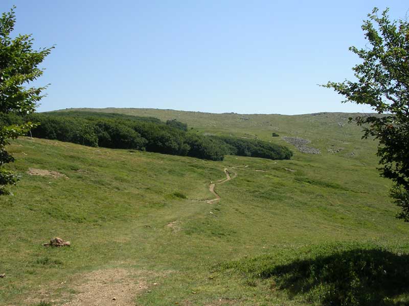
Alta Via dei Monti Liguri
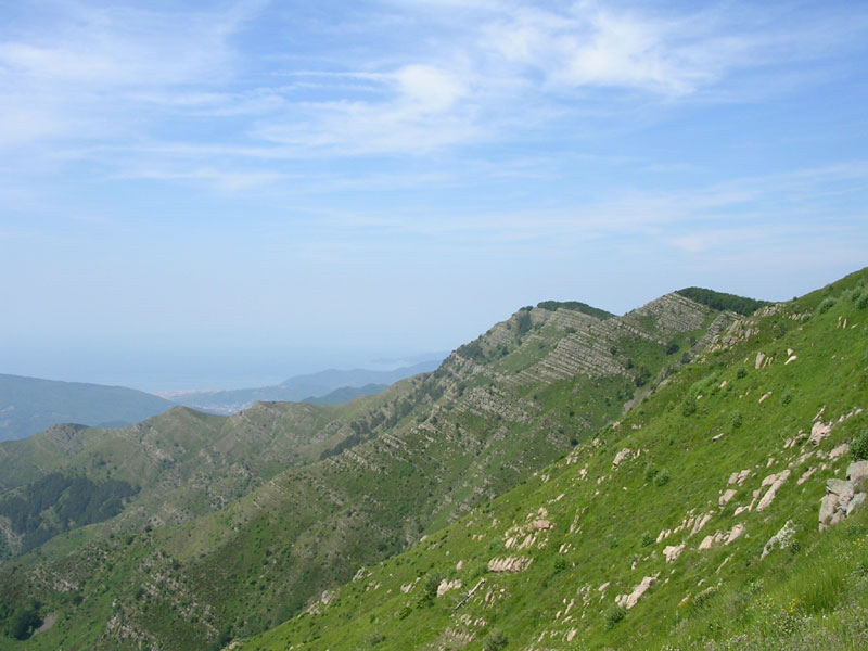
A long green way, between eagles and whales
Walking the Alta Via dei Monti Liguri is one of the most fascinating ways to admire Liguria's wonderful features: like a very long double window - more than 400 km - this itinerary overlooks both the sea and the Po valley, and the Alps as well.
Sentiero Italia CAI


