Itineraries
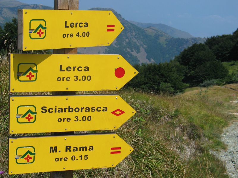
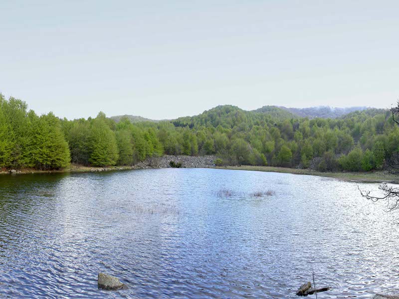
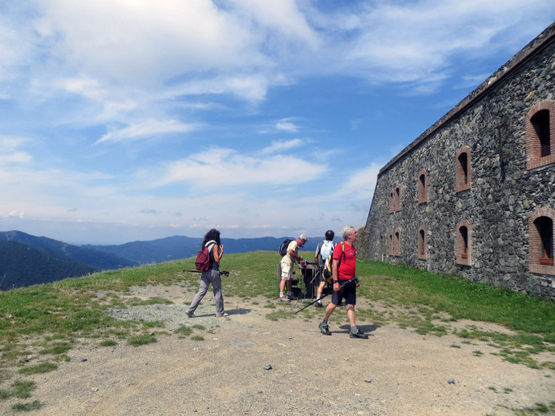
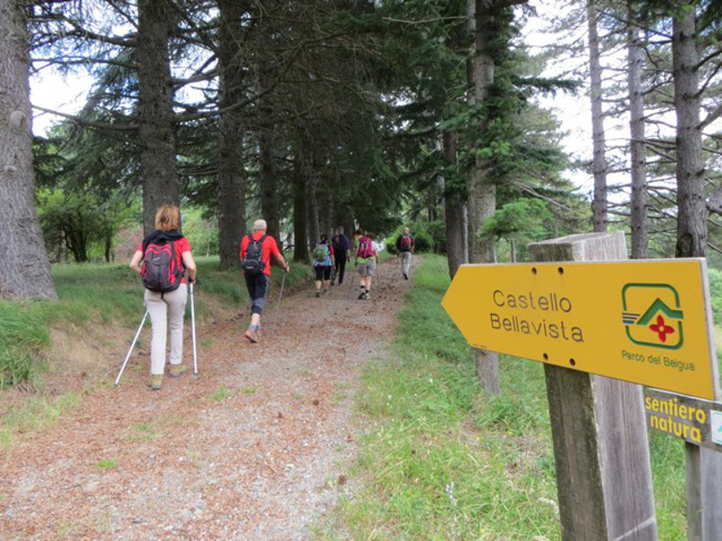
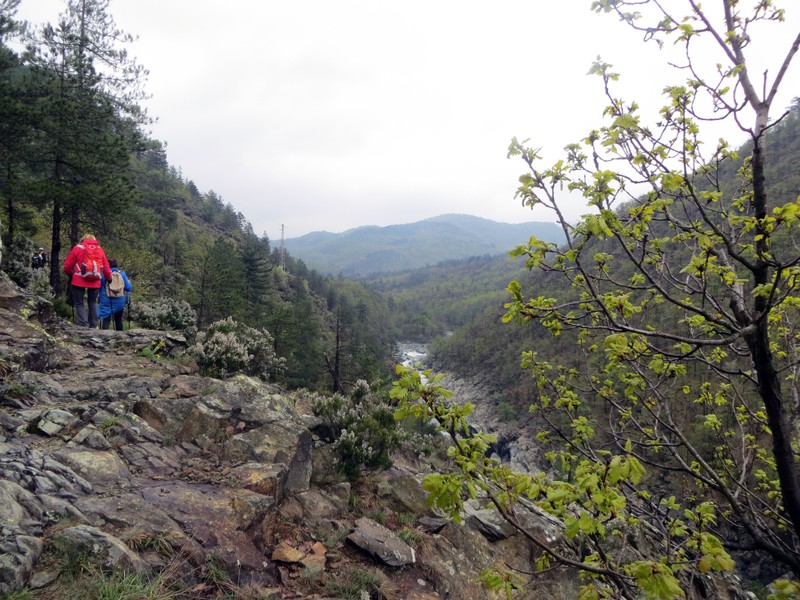
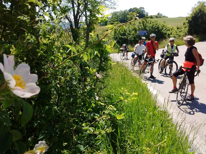
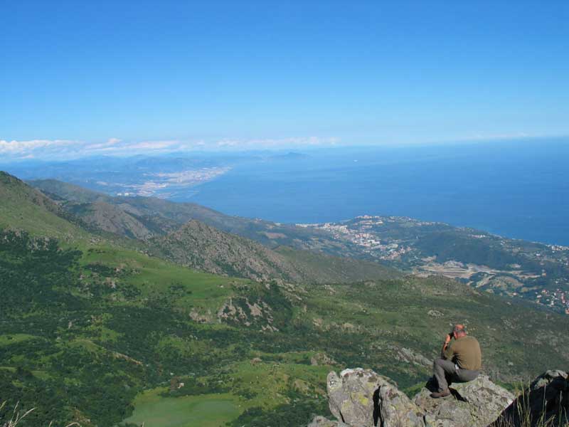
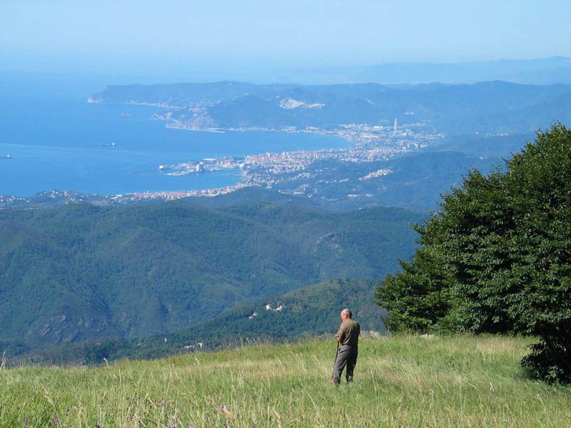
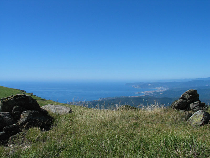
The territory of the Park is crossed by a thick network of trails developing for about 500 km, giving the opportunity to appreciate its natural beauties and its historical - cultural features.
Going along the Park trails is like glancing through a wonderful book where tales of man and nature are told and represented.
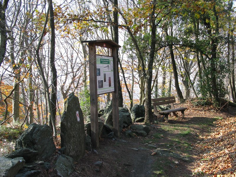
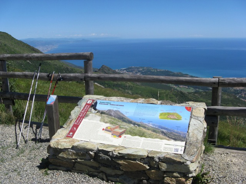
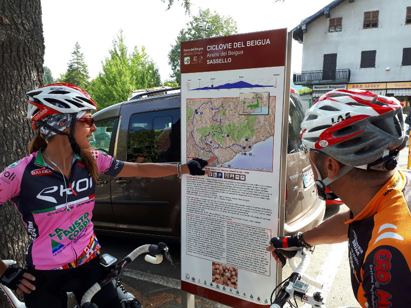
In order to make the hikes throughout the protected areas more appealing, the Beigua Park has in some cases created equipped trails supported by panels and informative material which give visitors the opportunity to appreciate some of the naturalistic, historical, and cultural elements which can be seen along the way.
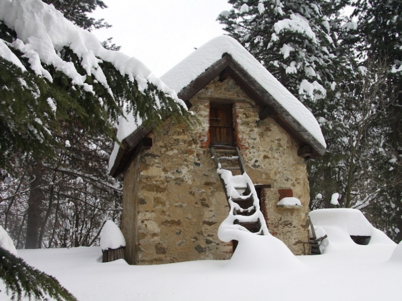
Within the protected area and in the surrounding territory there are accommodation structures, mountain huts and unattended shelters for long stays, in order to better appreciate the Park trail network.
Moreover, the Park Authority has prepared an efficient network of equipped green areas where you can stop and relax.
 Best practices to enjoy the Beigua Park as better as possible (PDF in Italian - 260Kb)
The Park's Nature Paths
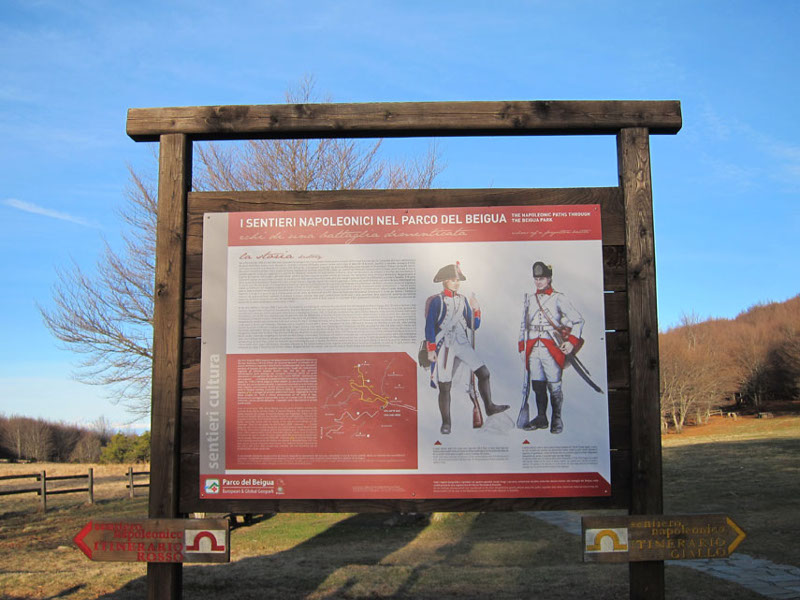
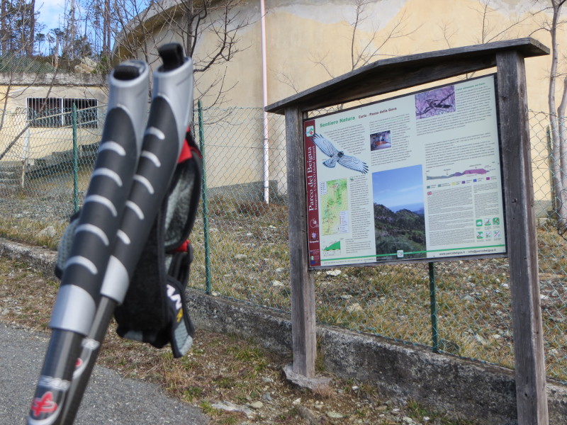
In order to enhance the heritage of the territory, the Beigua Park decided to realize five 'Nature Paths', namely equipped trails featuring information boards and materials, to allow visitors to better enjoy some of the natural, historical and cultural elements which can be observed in each of the trails.

Culture Trails
Further information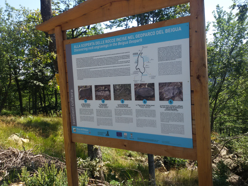
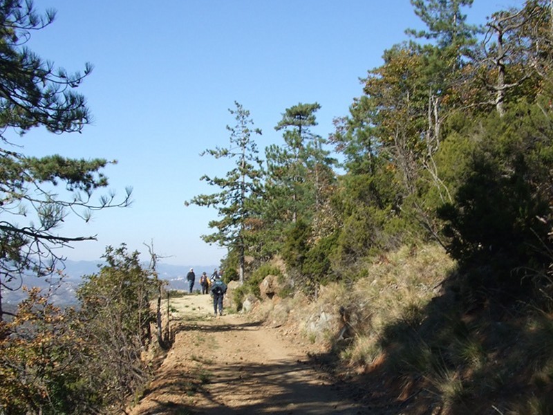
Hiking trails


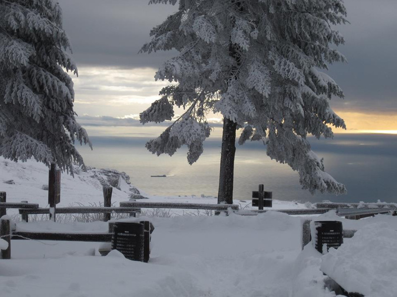
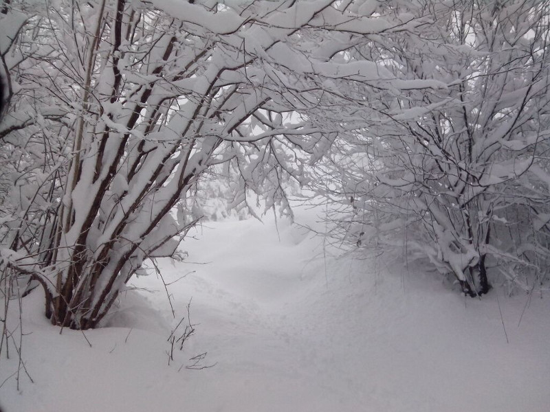
Routes with the snowshoes
The winter season offers the opportunity to wear the snowshoes to walk the many routes crossing the Beigua Geopark, among views of endless beauty, looking for the animals' traces left on the white blanket and letting ourselves be enchanted by the magical atmosphere surrounding the rural landscape.
Further information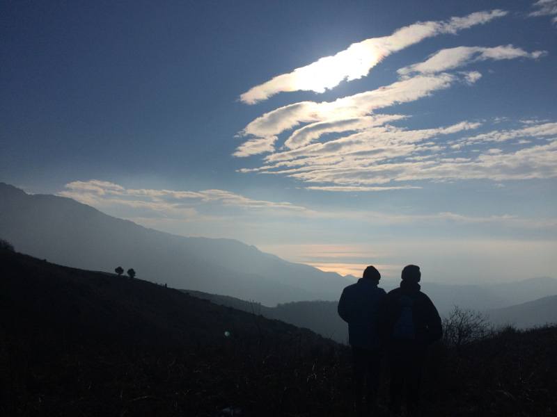
Nordic Walking in the Beigua Park
Technique and benefits
Nordic Walking is a new sport which is attracting more and more people in the course of time. It developed in Finland in the early 1990s from a combination of the cross-country ski summer training with walkie, a very popular free-time activity which has gradually become a mass sport.
Further information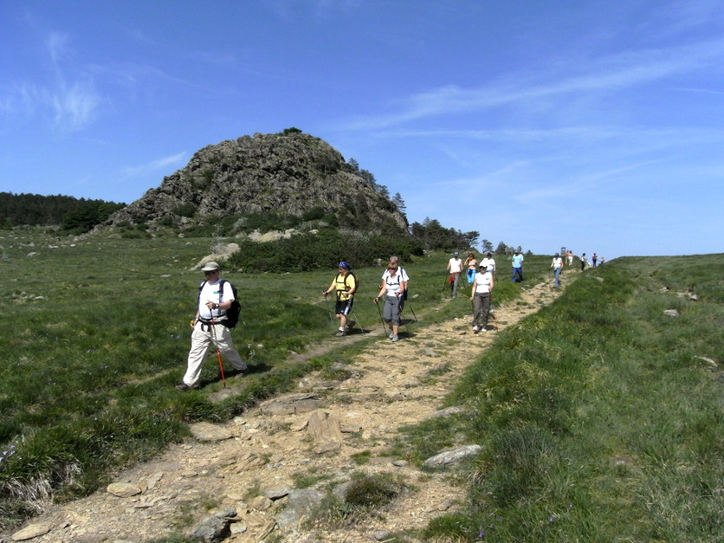
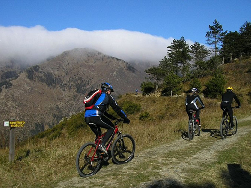
Beigua bike routes
The SOL Valleys circular route (Stura, Orba and Leira valleys) and the Beigua circular route are bicycle rides along low-traffic asphalted roads in the territory of the Beigua Park - UNESCO Global Geopark.
Further information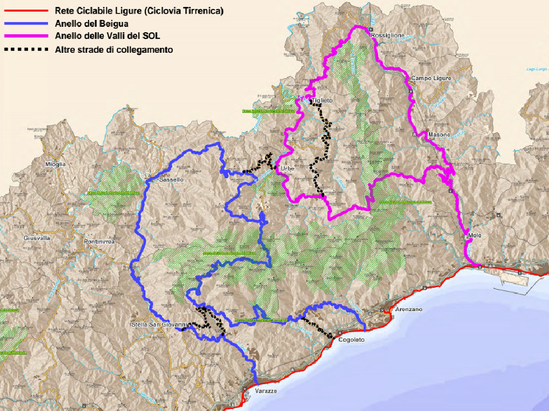
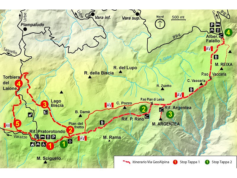
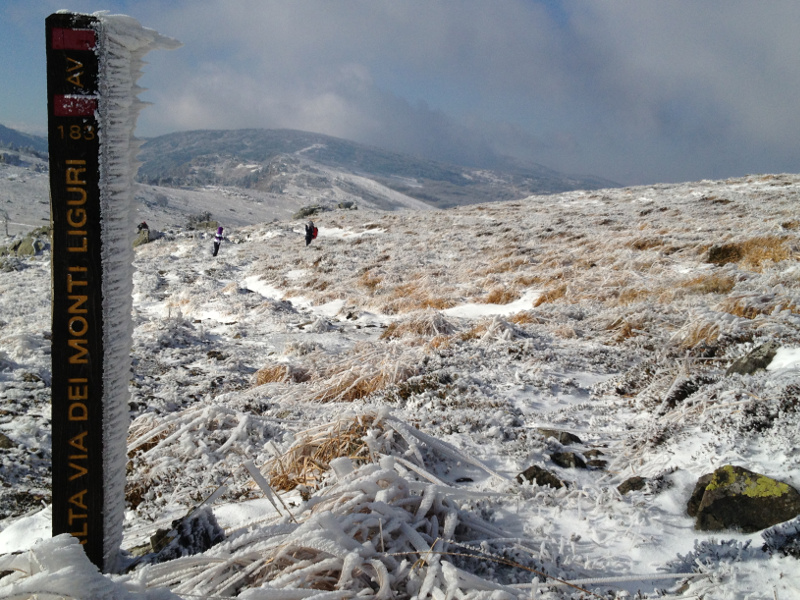
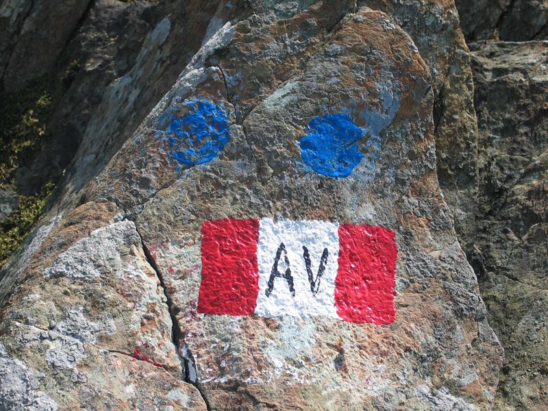
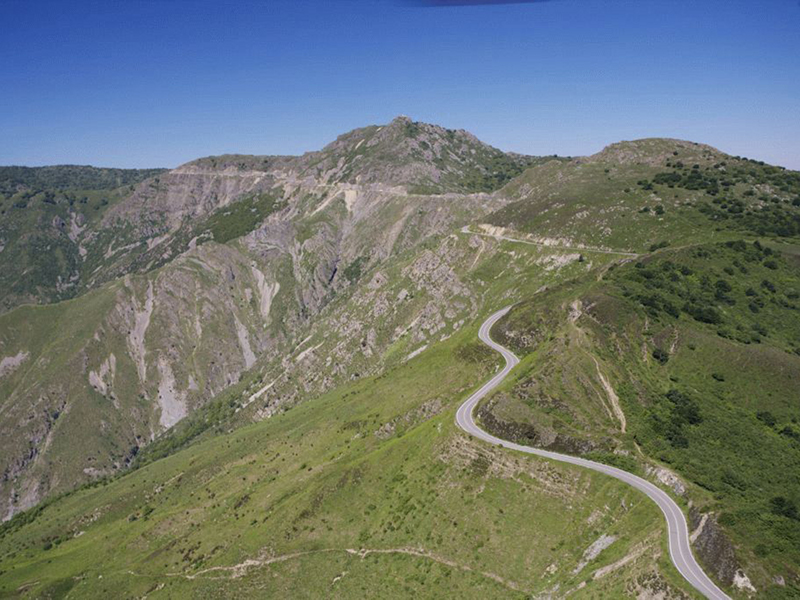
Alta Via dei Monti Liguri
A long green road, between eagles and whales
The Alta Via dei Monti Liguri is a hiking itinerary covering more than 400 km across Liguria, it crosses the Beigua Park on the main ridge which offers extraordinary panoramic views from the Alpi Apuane, by way of the Gulf of Genoa and the Monviso up to the Monte Rosa.
Three stages of the Alta Via are situated within the Park: the stage No. 19 Passo del Giovo – Prariondo, the stage No. 20 Prariondo – Faiallo, and the stage No. 21 Faiallo – Passo del Turchino.
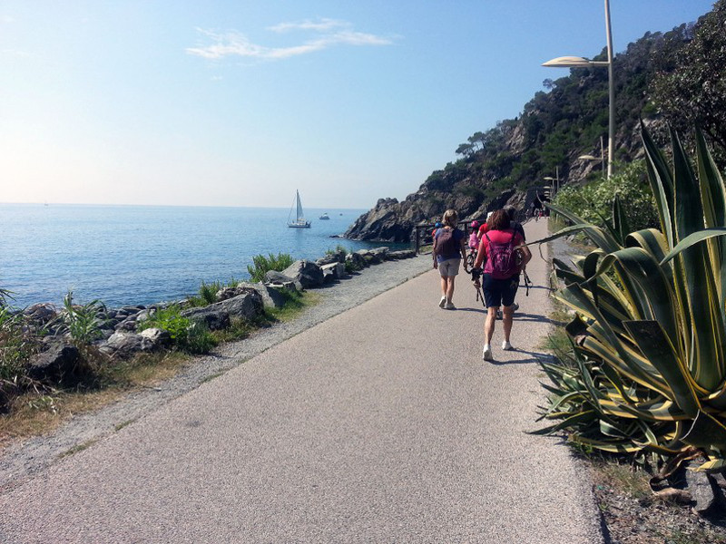
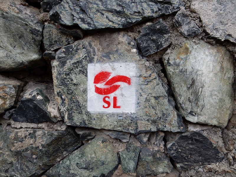
Sentiero Liguria
The 'Sentiero Liguria' Project (Bocca di Magra - Ventimiglia) aims to create a unique product with unique features, an easy trail that can be walked by everybody, mainly along the coast and always looking at the sea. The project provides to reorganize the already existing trails and to complete them with the means of transport and the already available services.
Further information
- Stages of the Sentiero Liguria (PDF in Italian - 1,4 Mb)
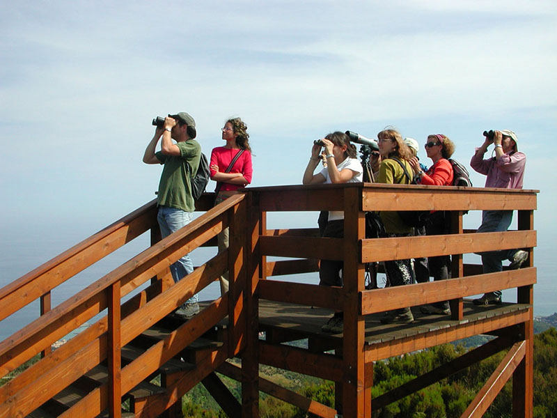
The Geopark upside down
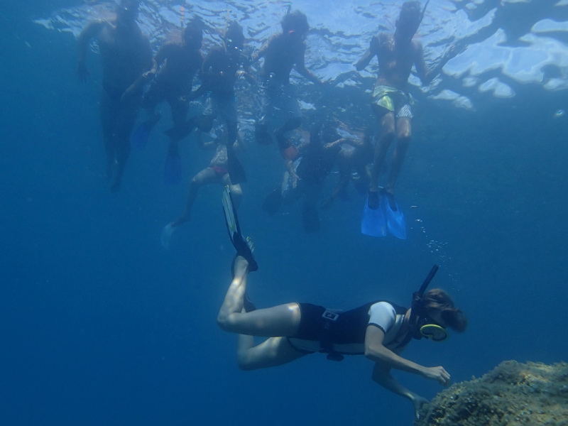
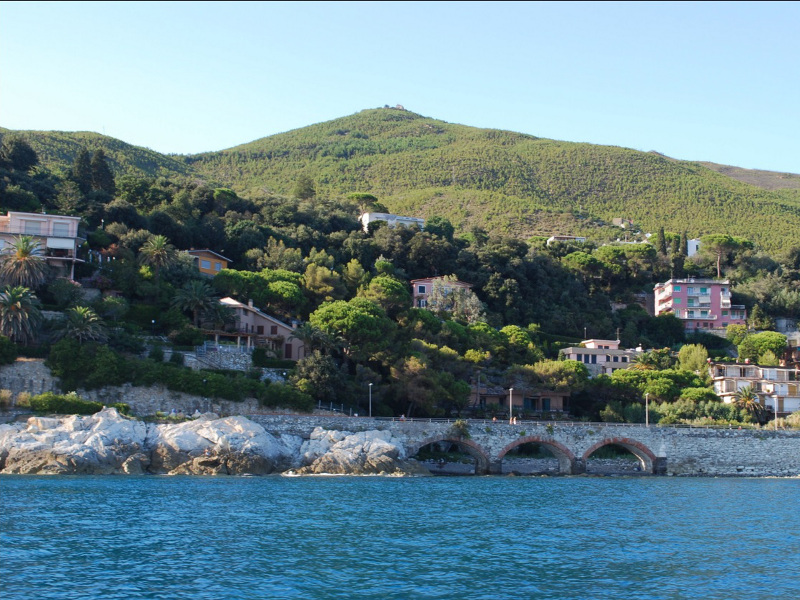
Beigua's coastline
A fascinating walk along Beigua's coastline to discover the rises and sunken natural treasures!
The Geopark represents an inexhaustible source of sparks and hints to know and appreciate Beigua territory's natural and historical-cultural features. The following itinerary, and the related downloadable free guide, aim to give the visitors information to know and understand the coastal landscape and the life forms living there, both the raised and the sunken ones.