Pratorotondo Nature Path (red numbers)
- Trail Conditions: On foot
- Departure: loc. Pratorotondo
- Duration: 4 hour/s
- Length: 9.7 km
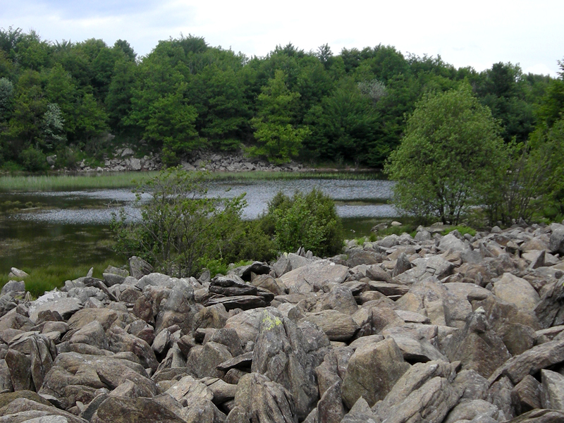
The itinerary departs from the locality of Pratorotondo (Cogoleto) by the Park's Information Point (seasonal opening) near the mountain hut of the same name (1,108 meters). Coordinates: (44°25'41.95"N - 8°35'12.74"E). The path starts with a large dirt road which can be walked also with the wheelchairs up to the Riparo di Casa Miniera, coinciding with a stretch of the Alta Via dei Monti Liguri (AVML) with path markers AV. Along the steep and rugged Tyrrhenian slope we will mainly observe the grey-green rock outcrops which consist of serpentines and serpentine-schists.
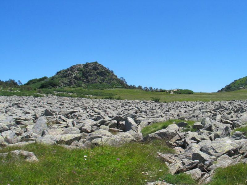
By the Stop No. 1, if you carefully look at the highest rock summits of Mount Beigua, you will notice a particular element: they do not lie near the main watershed where we walk, but on the secondary ridges facing south (M. Sciguelo, M. Rama, M. Argentea)
1 lap of: The Via GeoAlpina
 Download KMZ
 Download the GPX format