Pratorotondo – Passo del Faiallo (green numbers)
- Trail Conditions: On foot
- Departure: loc. Pratorotondo
- Duration: 4 hour/s
- Length: 8.8 km
Departure point: locality of Pratorotondo (1,108)
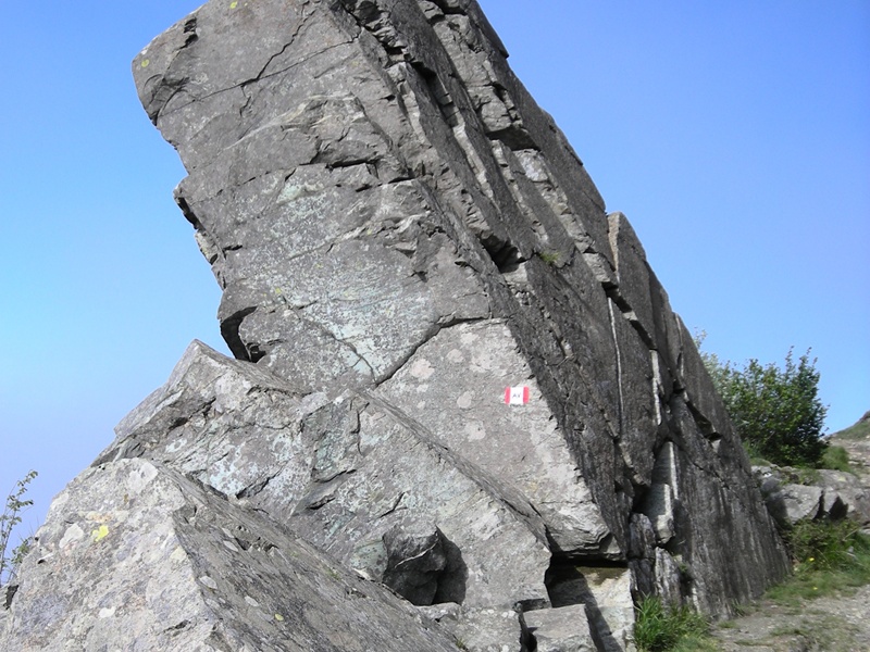
The biggest part of the second stage develops along the trail of the Alta Via dei Monti Liguri and follows the same path of the first stage for the first 1,400 meters.
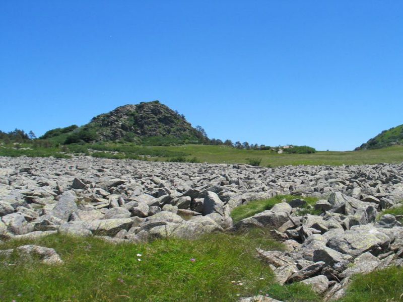
The stop No. 1 is situated near the Casa della Miniera (1,078 meters), that in the 1940s hosted the workers of a small iron mine which exhausted in a short time. The geological features of this area are linked with the majestic serpentinite and eclogite outcrops. The itinerary goes on eastwards on a flat ground, by way of the block field in the Pian Fretto (stop No. 2 - stage No. 1) up to the Resonau mountain pass (1,050 m). Here one leaves the Alta Via and takes a path (red path marker) which starts going downhill until it reaches the Spinsu spring (935 m).
Here hikers leave the path going downhill towards Lerca, taking a path (marked with a red A in a white background) heading the Cà de Leveasso Mountain Hut (903 m) (stop No. 2).
2 lap of: The Via GeoAlpina
 Download KMZ
 Download the GPX format