


The Cycle Facilities of the Lakes
- Trail Conditions: By bike
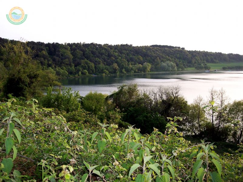
- Interest: Panorama
- Duration: 1 hour/s 30 minutes
- Difficulty Level: Rather easy
- Length: 7.88 km
With a total length of 7,880 meters, it crosses some of the characteristic environments of Bracciano-Martignano Regional Park. In a continuous sequence of cultivated fields and meadows used as pastures, the itinerary leads to panoramic points over the lakes, Sabatini Mountains, Tolfa Mountains, and the Roman countryside. The departure point of the itinerary, at Mola Vecchia dell'Arrone in the Municipality of Anguillara Sabazia, is accessible by bike, following the specific road signs, also leaving from the car park of the local railway station (railway line Rome/Viterbo FR3). The main ring-route, which is rather easy, consists of 80% of dirt road and 20% of asphalt road. By bike, it takes about 1 hour and a half. Given the very compact roadbed, this route is accessible with all kinds of bikes and does not require particular training even if it rains hard. During the summer, it is recommended to make supplies of water at the departure points, since there are no water points along the route.
![]() Download in pdf format (2Mb)
Download in pdf format (2Mb)


