Itineraries
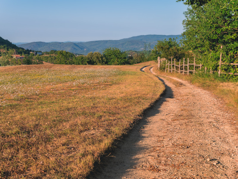
The Park Nature Trails
The territory in which the trail network develops is situated in the Municipality of Millesimo, which also represents the Park Authority managing Bric Tana e Valle dei Tre Re Regional Park. The trail network represents the best itinerary to visit the protected area.
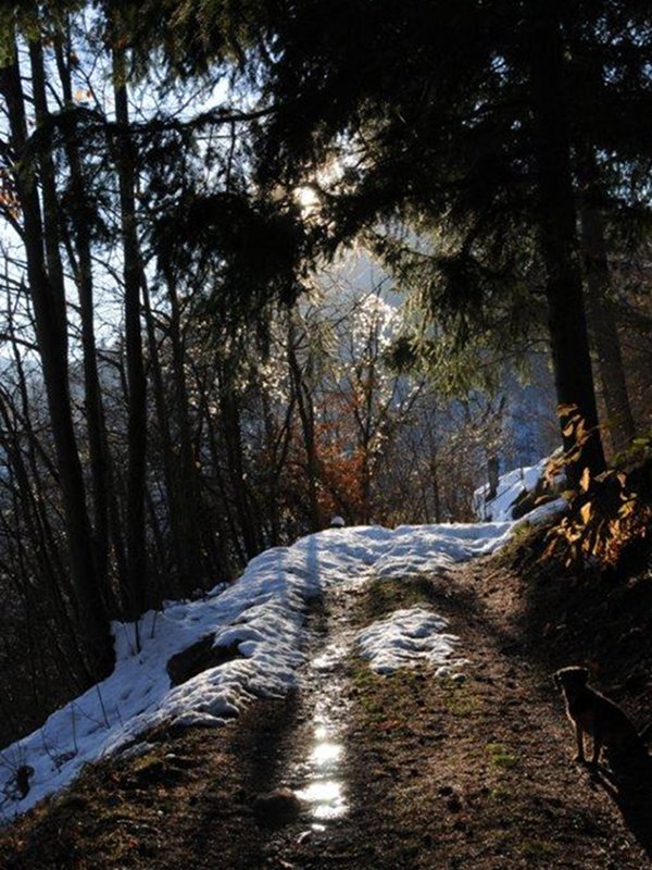
The Park lies in the hills and is characterized by a continental climate with winter temperatures below zero and a moderate warm climate during the summer.
The trail network forming the complete itinerary has been divided into ring-routes. Therefore, you will find three "short" ring-routes giving the opportunity to visit various places with their particular natural features in a short time, and two "long" ring-routes developing involving a wider area, suitable for well-trained people who want to visit the whole Park.
The trail markers leading the hiker along the trails are yellow (usually used to mark the Po Plain slope) on a white background.