


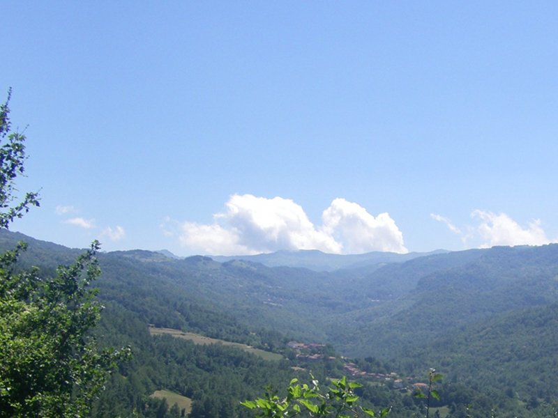
Alta Val Bratica
- Trail Conditions: On foot
- Interest: Geology, Panorama
- Duration: variable depending on the chosen itinerary (about 5/6 hours outward and backward to Mount Navert)
- Difficulty Level: for hikers
- Length: variable (from about 7 to 15 km)
- Difference in height: variable, between 600 and 700 m uphill and downhill
Water presence: In Grammatica, Riana, Casarola and along the mule track leading from Risana to Pian del Monte
Stop areas/equipment: NO
Alta Val Bratica
Books and Guides
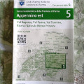
Price: 12.00 €
Item Available at Emporio dei Parchi
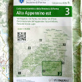
Price: 12.00 €
Item Available at Emporio dei Parchi


© 2024 - Ente di gestione per i Parchi e la Biodiversità - Emilia Occidentale