

Itineraries
The trail network regarding Altipiani Plestini has been planned to enhance the potentialities of a territory where the signs left by man over the centuries integrate themselves with the landscape values.
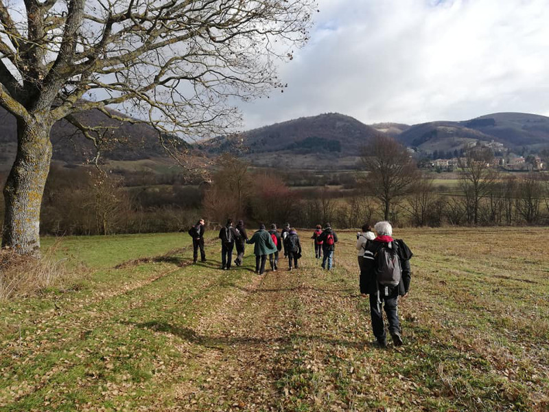
Using historical and recent roads, the tours give the opportunity to observe the environment of Colfiorito marshland, with its specific flora and fauna, as well as archaeological sites of great importance like the "Castelliere" of Mt. Orve and Plestia settlement.
The itineraries are also suitable for didactic tourism.
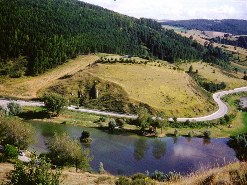
The swamp
Tourist Trails
Along the way, you will find descriptive panels dedicated to the naturalistic and archaeological features of the area.
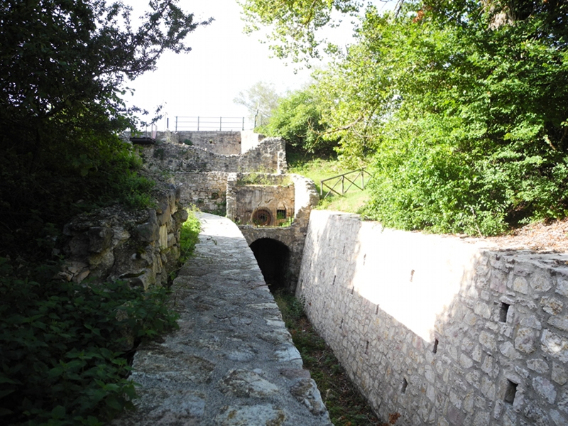
Itinerary of the Castelliere
Departure: Colfiorito sede Parco (Via della Rinascita)
Typology: On foot
Difficulty Level: TE for tourists and hikers
Duration: 1 h 10 m
Interest: Flora, Wildlife, Panorama, Archeology, Photography
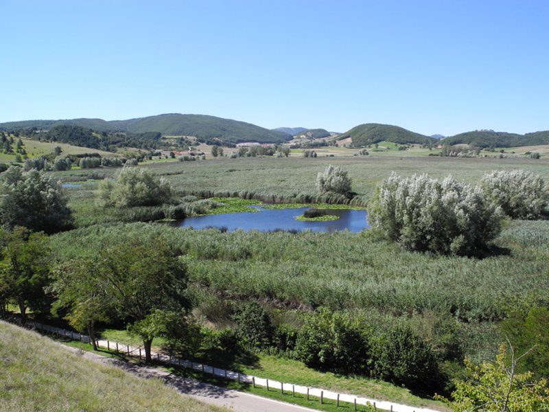
Itinerary of the swamp
Departure: Colfiorito, Loc. “Fagiolaro” (bivio per Forcatura)
Typology: On foot
Difficulty Level: TE for Tourists and hikers
Duration: 2 h
Interest: Flora, Bird Watching, Geology, Panorama, History, Photography
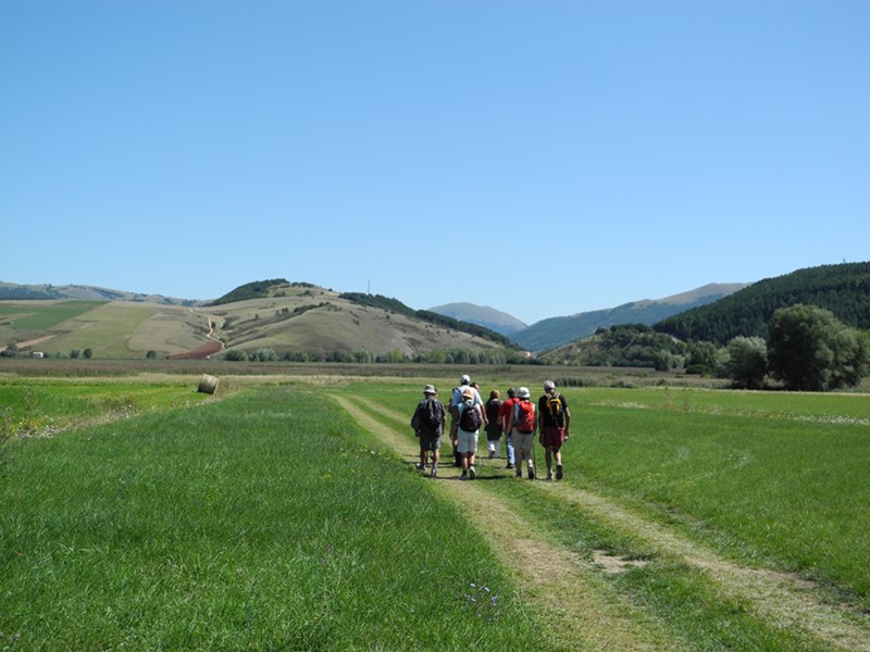
Hiking Trails
The Plateaus from the top of Monte Trella
Twenty thousand steps between Umbria and Marche
Departure: Colfiorito - Sede del parco
Map with georeferenced itinerary
Typology: On foot
Difficulty Level: E - Hiking (level)
Duration: 4 h
Interest: Geology, Panorama, Archeology, Photography
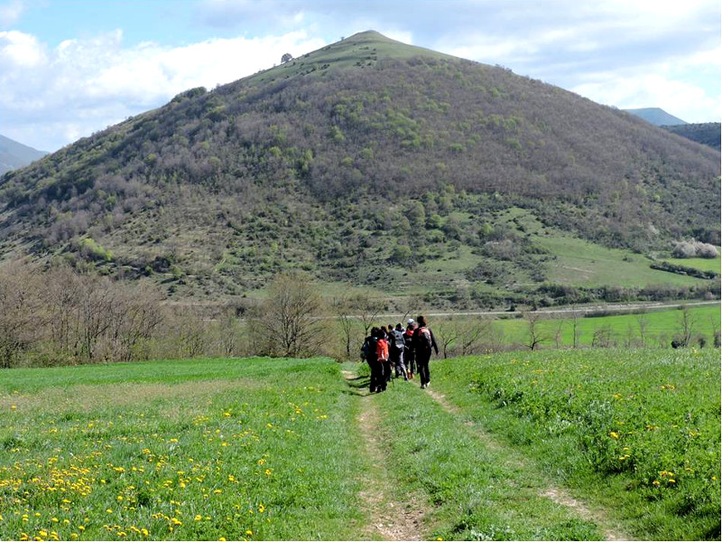
Colfiorito Ring Route - Path no. 311
Departure: Colfiorito sede Parco
Typology: On foot
Difficulty Level: E - Hiking (level)
Duration: 5 h 30 m
Interest: Flora, Wildlife, Panorama, Archeology, Photography
Colfiorito-Sellano-Preci
Stretch of Sentiero Italia in Umbria
Typology: On foot
Interest: Flora, Panorama, Archeology, History
Typology: On foot
Bicycle Tourism Trails
From the Menotre valley to Colfiorito
Geotourist itinerary
Departure: Foligno - Via Fratelli Bandiera Parcheggio
Map with georeferenced itinerary
Typology: By bike, Car
Difficulty Level: T - Tourist (level)
Duration: 3 h 30 m
Interest: Geology, Panorama, Archeology, Photography
Bicycle Tourism Itinerary 24
Nocera Umbra and Colfiorito: Water, Potatoes, and Lentils
Typology: By bike
Difficulty Level: difficult
Interest: Archeology, History, Photography


© 2024 - Comune di Foligno