

From the Menotre valley to Colfiorito
Geotourist itinerary
- Trail Conditions: By bike, Car
- Interest: Geology, Panorama, Archeology, Photography
- Departure: Foligno - Via Fratelli Bandiera Parcheggio
- Duration: 3 hour/s 30 minutes
- Difficulty Level: T - Tourist (level)
- Length: 68 km
- Difference in height: 600 m
- Street: asphalt
- Means of transport: Car / street bike
- Infopoint: Corso Cavour 137 Foligno +39 0742 350129
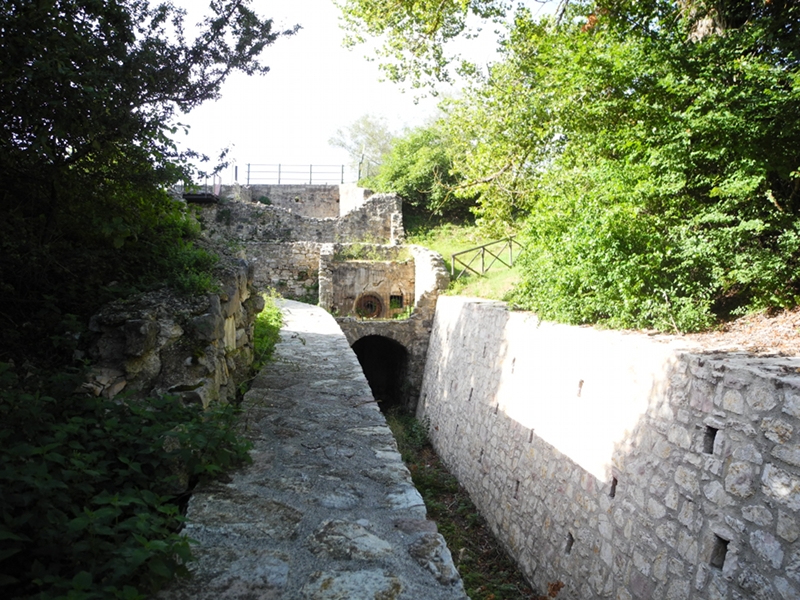
The itinerary leaves from Foligno, along the state street SS 77 one climbs the Menotre Valley, where the jurassic formation Sasso di Pale is situated, and reaches the Colfiorito swamp, which is a protected area, site of community importance and special protection area due to the presence of interesting bird species.
Noteworthy are the karst phenomena in the area. All the uplands are of tectonic-karst origin and have several sinkholes where, especially after rainy periods, it is possible to observe water flowing.
Once reached Colfiorito one can visit the Park's Museum. The itinerary ends by going back to Foligno from the Ricciano and Capodacqua plain, where it will be possible to observe one of the most significant water emergencies in the area. Above the village the Trinci castle controls the valley. One goes back to Foligno along the municipal road and the state street SS3.
 Download KMZ


