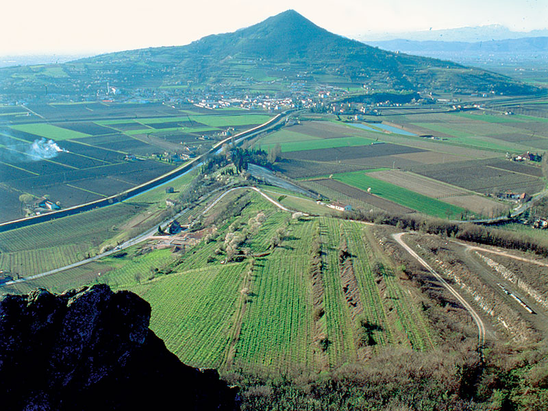
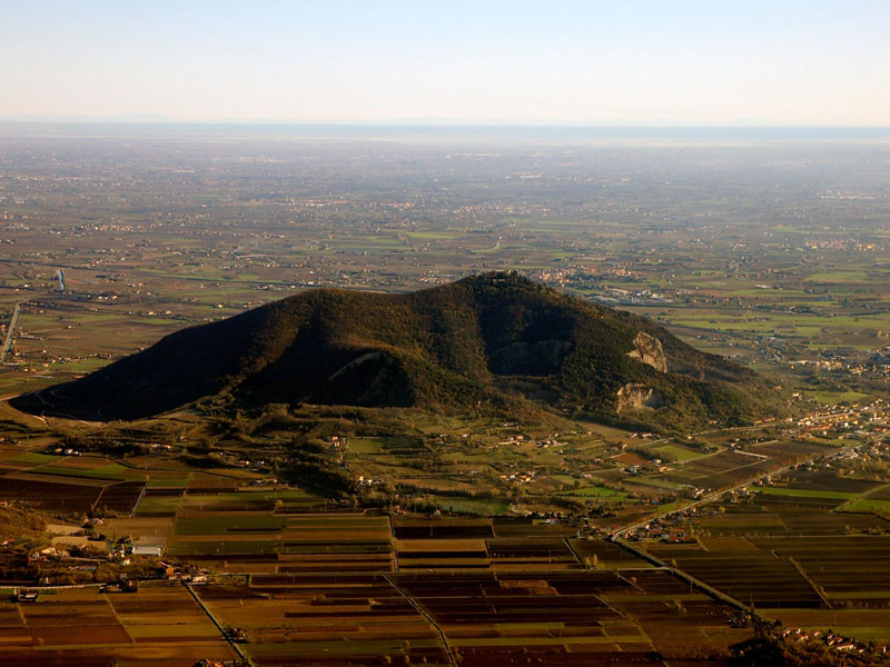
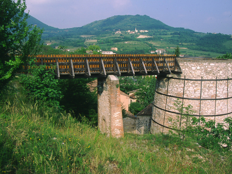
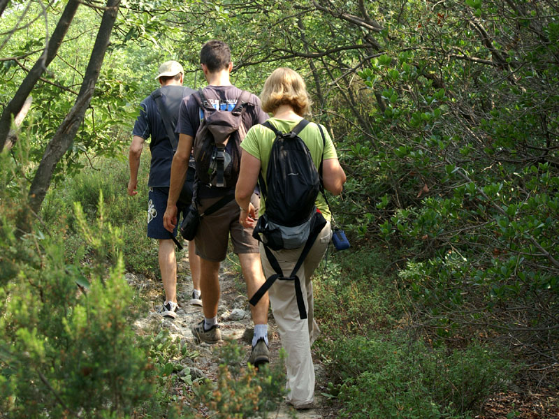
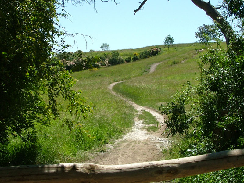
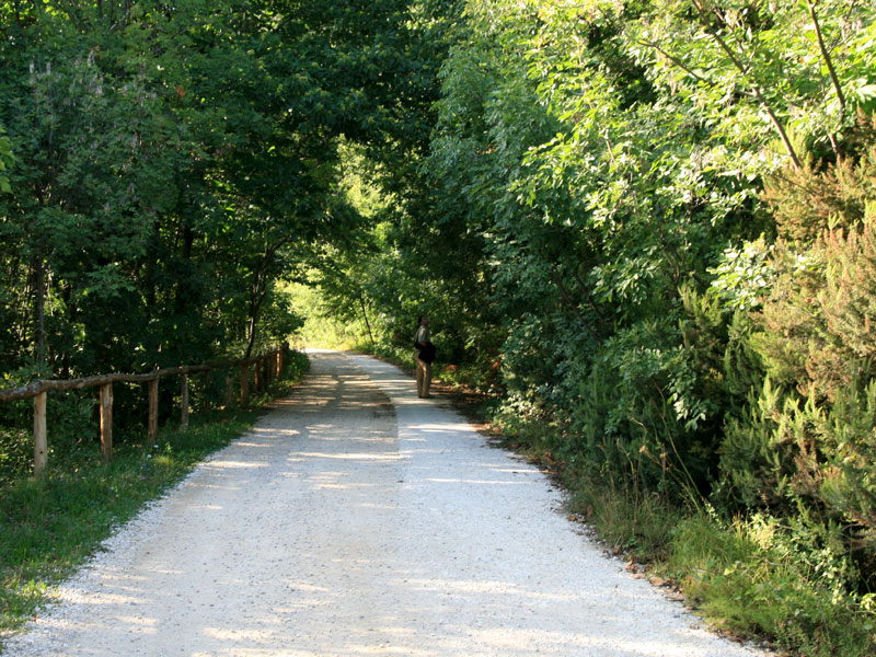
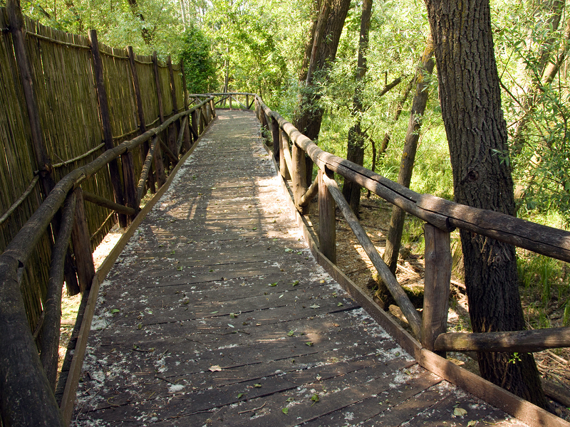
Parks.it Homepage

Parco Regionale dei Colli Euganei

www.parcocollieuganei.com
 

Itineraries

On foot

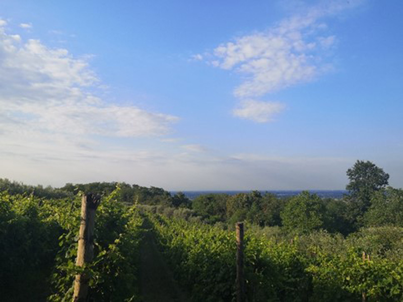
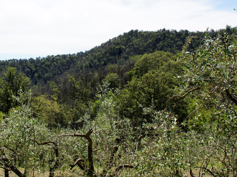
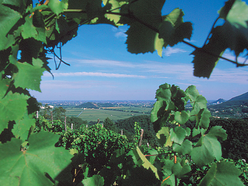
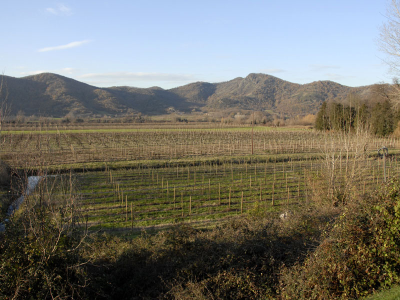
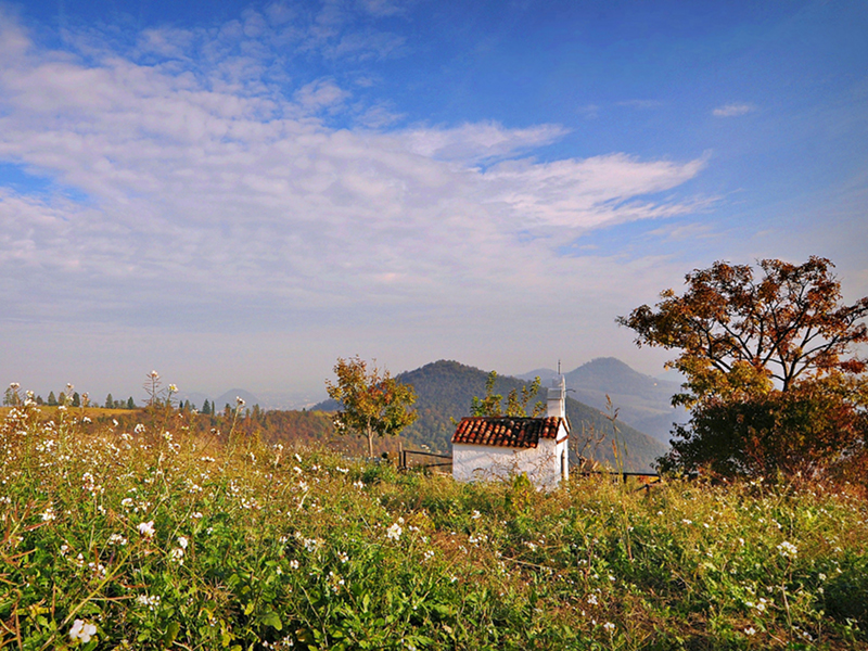
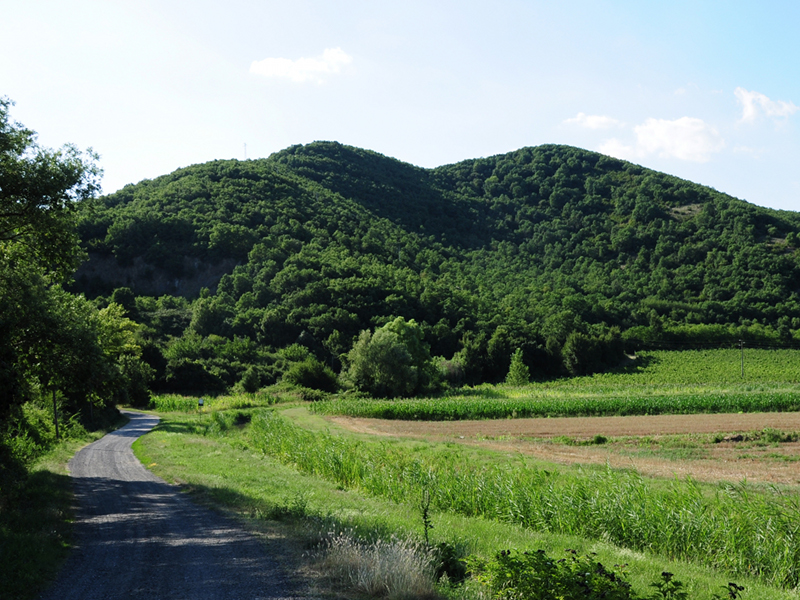
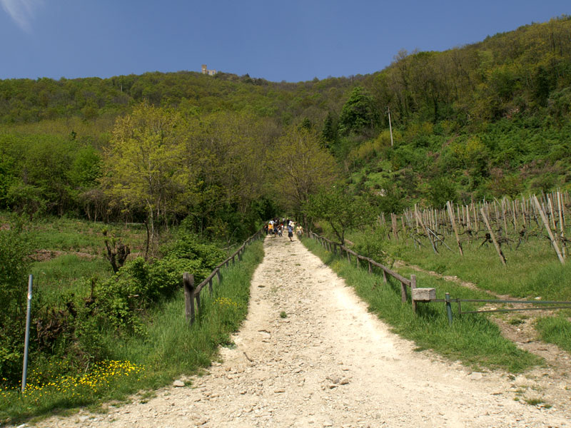
A thick networks of trails goes through the Park area.
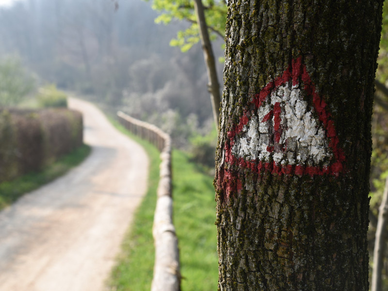
The official footpaths are described, one by one, with a brief technical map in PDF format and traced on an Open Street Map basis. The Park Authority has recently provided precise georeferencing of the trails and their main points of interest, including rest areas, benches and information boards. Every detail can be accessed via the map and its navigation menu below. We would like to remind you that for many trails there are also brochures, that can be obtained at the Park Headquarters and at Casa Marina Visitor Centre, while supplies last.

The Parks Map with trails' position

Further information


On foot
n.18 - Villa Draghi Trail
Departure: Loc. Villa Draghi - Montegrotto Terme
Typology: On foot
Duration: 2 h
Interest: Flora, Wildlife, History
N.31 - Monte delle Valli Path
Departure: Area di Sosta in Via Regazzoni
Typology: On foot
Difficulty Level: E - Hiking (level)
Duration: 2 h 30 m
Interest: Flora
No 1 - Alta Via dei Colli Euganei
Departure: Villa di Teolo
Typology: On foot
Difficulty Level: EE - For expert hikers
Duration: 12 h
Interest: Panorama
No 10 - Mt. Gallo Trail - Monte delle Grotte and Monte delle Basse
Typology: On foot
Difficulty Level: E - Hiking (level)
Duration: 1 h
Interest: Flora, Panorama
No 11 - Mt. Cinto Trail
Departure: Loc. Cava Bomba - Cinto Euganeo
Typology: On foot
Difficulty Level: E - Hiking (level)
Duration: 1 h 30 m
Interest: Geology
No 12 - Mt. Fasolo Trail
Departure: Loc. Sant'Antonio - Cinto Euganeo
Typology: On foot
Difficulty Level: T - Tourist (level)
Duration: 1 h
Interest: Flora
No 13 - Monte San Daniele trail
Departure: Loc. San Daniele - Abano Terme
Typology: On foot
Difficulty Level: Easy
Duration: 1 h
Interest: Religion, History
No 14 - Mt. Grande Trail
Departure: Loc. Sella Fiorine - Teolo
Typology: On foot
Difficulty Level: E - Hiking (level)
Duration: 1 h 30 m
Interest: Flora
No 15 - Horse-shoe Trail
Departure: Battaglia Terme
Map with georeferenced itinerary
Typology: On foot
Difficulty Level: none
Interest: Flora
No 16 - Mt. Rosso Trail
Departure: Loc. Monterosso
Typology: On foot
Difficulty Level: E - Hiking (level)
Duration: 1 h
Interest: Flora
No 17 - Monte della Madonna Trail
Departure: Loc. San Giorgio - Rovolon
Typology: On foot
Difficulty Level: E - Hiking (level)
Duration: 1 h 30 m
Interest: Flora, Religion
No 19 - Path of Monte Ortone
Departure: Loc. Monteortone - Abano Terme
Typology: On foot
Difficulty Level: Easy
Duration: 1 h 30 m
Interest: Flora, Panorama, Religion
No 2 - Nature Trail of Central Colli Euganei
Departure: Loc. Case Zuccato - Villa di Teolo
Typology: On foot
Difficulty Level: EE - For expert hikers
Duration: 4 h 30 m
Interest: Flora, Panorama
No 21 – The trails of Rocca Pendice
Departure: Campo sportivo di Teolo; Area di sosta di Castelnuovo
Typology: On foot
Difficulty Level: medium; be careful on exposed path sections on roc...
Interest: Flora, Wildlife, Panorama
No 26 - Jubilee Trail
Departure: Loc. Praglia - Teolo
Typology: On foot
Difficulty Level: easy
Duration: 1 h 30 m
Interest: Religion, History
No 27 - The Prince’s Trail
Typology: On foot
Difficulty Level: T/E
Duration: 2 h
Interest: Panorama, History
No 28 - Ancient paths above Luvigliano
Departure: Loc. Luvigliano - Torreglia
Typology: On foot
Difficulty Level: easy
Duration: 1 h 30 m
Interest: Panorama, History
No 29 - Cava Monte Croce and Creste Trail
Departure: Loc. Ex Cava Monte Croce - Battaglia Terme
Typology: On foot
Difficulty Level: Hiking trail with a stretch for experts, and an eq...
Duration: 3 h
Interest: Flora, Wildlife, Panorama
No 3 - Atestino Trail
Departure: Arquà Petrarca
Typology: On foot
Difficulty Level: EE - For expert hikers
Duration: 5 h 30 m
Interest: Flora
No 30 - Historical and naturalistic trail “Roccolo Bonato”
Typology: On foot
Difficulty Level: Easy
Duration: 1 h
Interest: Bird Watching, History
No 4 - Mt. Venda Trail "G.G.Lorenzoni"
Departure: Loc. Sottovenda - Galzignano Terme
Typology: On foot
Difficulty Level: EE - For expert hikers
Duration: 2 h
Interest: Flora, Panorama, History
No 5 - Mt. Lozzo Trail
Departure: Loc. Casa Borotto - Lozzo Atestino
Typology: On foot
Difficulty Level: E - Hiking (level)
Duration: 1 h
Interest: Panorama, History
No 6 - Mt. Ricco and Mt. Castello Trail
Departure: alle spalle della stazione ferroviaria di Monselice
Typology: On foot
Interest: Flora
No 7 - Mt. Calbarina and Mt. Piccolo Trail
Departure: Loc. Costa - Arquà Petrarca
Typology: On foot
Difficulty Level: E - Hiking (level)
Duration: 1 h
Interest: Flora
No 8 - Mt. Cecilia Trail
Departure: Baone
Typology: On foot
Difficulty Level: T - Tourist (level)
Duration: 1 h 30 m
Interest: Flora, Panorama
No 9 - Mt. Venda Trail
Departure: Loc. Sottovenda - Galzignano Terme
Typology: On foot
Difficulty Level: T - Tourist (level)
Duration: 2 h
Interest: Panorama

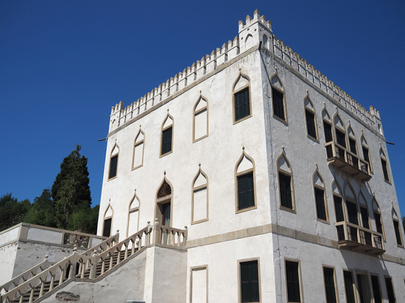
Individual trail descriptions are taken from the book "Guida dei Colli Euganei - La storia, l'arte, la natura, il paesaggio" by Francesco Selmin, published by Cierre Edizioni, 2009.
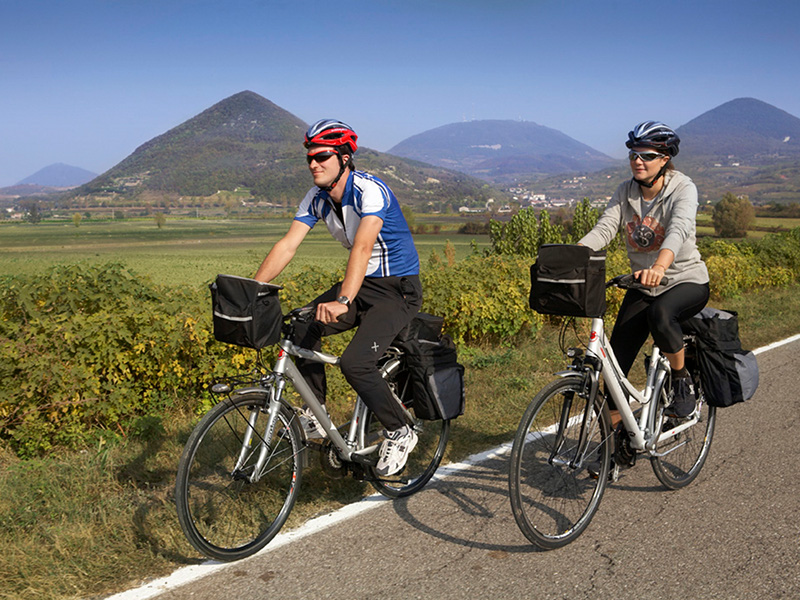
By bike

Colli Euganei loop trail
Padova, Este, Abano and Montegrotto Terme
Map with georeferenced itinerary
Typology: By bike
Interest: Panorama, Religion, History
H - Bacchiglione river Cycle Route Connection - Euganean Hills Loop (I1/I2)
Loc. Boccalara, Cervarese Santa Croce - Loc. Montemerlo, Cervarese Santa Croce
Typology: On foot, By bike
Difficulty Level: easy
Duration: 30 min at an average speed of 13 km/h
I - Battaglia Canal (I2)
Loc. Bassanello, Padova - Montegrotto, Via Granze Destra
Typology: On foot, By bike
Difficulty Level: easy
Duration: 50 min at an average speed of 13 km/h

Thematic trails

Thematic trails on foot, by bicycle, by car
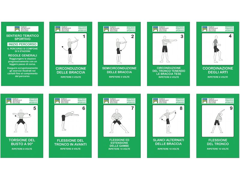
Botanical trail
Typology: On foot
Interest: Flora
Industrial archaeology trail
A themed itinerary in stages along the trail of Mt. Cinto
Departure: Loc. Bomba
Typology: On foot
Interest: Flora, Geology, Panorama, History
Geological trail
Geological trail
A themed itinerary in stages along the trail of Mt. Cecilia
Typology: On foot
Interest: Geology
Fitness trail
Typology: On foot
Interest: History
San Daniele Biotope
San Daniele Biotope
Departure: Loc. Lago Verde
State of practicability:
Closed
Typology: On foot
Interest: Flora

Rovolon Trails

The trails in the data sheets here below are inserted into the Municipality of Rovolon. They were created thanks to the involvement of the Municipal Administration and the Park, in collaboration with the CAI of Padua for signage tracing and positioning.

Trail of Alpini - R1
Departure: Piazzale degli Alpini, Rovolon
Map with georeferenced itinerary
Typology: On foot
Duration: about 2hours
Interest: Flora, Panorama, Religion, History
Trail San Giorgio - R2
Tour of Monte Grande
Map with georeferenced itinerary
Typology: On foot
Duration: about 2 h 20 minutes
Interest: Panorama, History
Trail of Carabinieri - R3
Map with georeferenced itinerary
Typology: On foot
Duration: 1 hour 10 minutes
Interest: Flora, Panorama
Trail of Bersaglieri - R4
Map with georeferenced itinerary
Typology: On foot
Interest: Flora, Panorama
Rialto Trail - R5
Map with georeferenced itinerary
Typology: On foot
Duration: about 1 h
Interest: Flora, Panorama
Trail San Pietro - R6
Departure: Az. Agricola Reassi
Map with georeferenced itinerary
Typology: On foot
Duration: about 1 h 40 m
Interest: Flora, Panorama
Trail Rosa dei Colli - R7
Map with georeferenced itinerary
Typology: On foot
Duration: 1:10 h
share-stampashare-mailQR Codeshare-facebookshare-twitter
© 2024 - Ente Parco Regionale dei Colli Euganei