


No 8 - Mt. Cecilia Trail
- Trail Conditions: On foot
- Interest: Flora, Panorama
- Departure: Baone
- Arrival: Baone
- Duration: 1 hour/s 30 minutes
- Difficulty Level: T - Tourist (level)
- Length: 5 km
- Difference in height: 170m
After having left your car in Baone's town square, take the road to Valle San Giorgio till you get to Via Lucerna and walk up a stretch of concrete road. Turn into a bridleway edged by field maple and paper mulberry bushes, brambles, hawthorn and lilac, then turn left and keep walking alongside an olive grove. You will note the typical onion-skin shards on the latite rocks that emerge from the ground, a phenomenon that affects homogeneous rocks when exposed to the elements. The path continues until it reaches a fork in the road where, turning right among European hop hornbeams, European nettle trees, black locust trees and ash trees, you'll come across forest undergrowth covered in wild asparagus, elm hedge, maple, hawthorn, butcher's broom and spindleberry, known as berretta del prete ('priest's hat') due to the distinctive shape of its fruit. At the next fork in the road, turn left uphill and you'll notice elms, Cornelian cherries, maples and ash trees, till you reach a clearing. If you keep walking to the right, you'll see that the vegetation becomes scarcer and is mainly black locust trees; after a long stretch, you'll come to a detour that leads to the ruins of the medieval castle of the Da Baone family. Stone steps lead to its ruins, which are worth spending time over.
Further information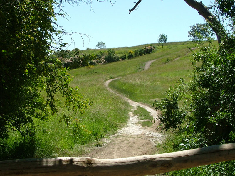
 Download KMZ
 Download in GPX format


