10 - Lago Scaffaiolo - Rif. Monte Cavallo
The last stage in the Emilian high ridge landscape, this one starts the descent towards the valley of the Reno river and the Bologna area midmountains.
- Trail Conditions: On foot
- Departure: Lago Scaffaiolo (1,754m)
- Arrival: Rif. Monte Cavallo (1,280m)
- Duration: 5 hour/s
- Length: 13.4 km
- Difference in height: Uphill 450m - Downhill 920m
- Accomodation structures: Le Casette Del Doccione
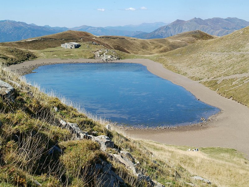
From Lake Scaffaiolo one hikes up to the nearby Tre Termini Pass and from there, while remaining at the same altitude, one reaches Strofinatoio Pass (1847 m), crossing the last glacial cirque to be met along the Alta Via. This is the orographic hub where, pointing north, the Corno alle Scale ridge begins. Descending to Cancellino Pass, and traversing the northern slopes of Mount Gennaio, one comes to the Uccelliera spring. Here one leaves the ridge trail (number 00, to bet met again in ten days' journey) skirting along the Poggio delle Ignude, where the Porta Franca Refuge can be reached in a few minutes by making a detour. The Alta Via continues along an easy path that first crosses the upper valley of the river Causso, completely covered with woods, then meets the lovely glades of the Rombiciaio and of Pian dello Stellaio. From there an easy forest road leads to the wide wooded saddle of Tre Croci Pass, a few minutes' walk from the Monte Cavallo Refuge.
Further information10 lap of: Alta Via dei Parchi
Accommodation: Le Casette Del Doccione
 Download KMZ