Itineraries
GiraSile
The Sile River Regional Nature Park's greenway
Sile River Regional Nature Park's greenway is an ecological corridor which crosses the whole Park, from the springs to Portegrandi, and it is suitable for slow ways of moving (by bike, on foot or by boat). The green way not only is an alternative choice to the usual streets, but it also represents the backbone of a network system connecting all the main places of interest for the visitors who wish to know the Park's territory discovering its peculiarities.

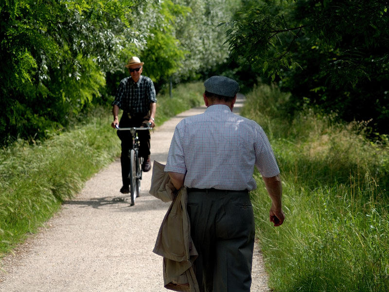
Cycling the Sile Park
Canoeing in the Sile Park
The Marsh
It is without a doubt the richest biotope along the upper course of the river Sile as far as animal and vegetal species are concerned. Today only some of them have been preserved, while once the size of the marsh was considerable and represented an important additional source of income for the inhabitants of the adjacent villages.
The most important reclamation activities have been carried out during the colonization by Venice in the 16th century; the most recent ones ended in the 1960s, with considerable advantages for the extensive monoculture, but severe losses for the complexity and richness of the territory. Along the upper course of the river Sile there are five sites where you can find this biotope: the quarries of the former Fornaci di Istrana, Morgano Marsh, Buse di Carlesso, the Marsh of Mulino Cervara Nature Sanctuary and the one in Canizzano. Although similar, they present different features: some of them are natural, others have been naturalized; some of them are deep and flooded, others semi-flooded, or dry. However, in each of them you can observe the typical structure of this cenosis.
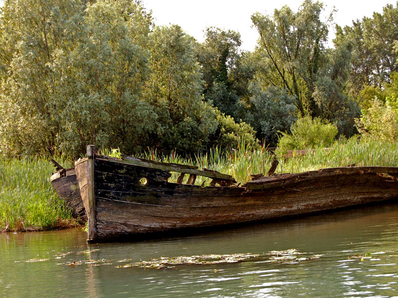
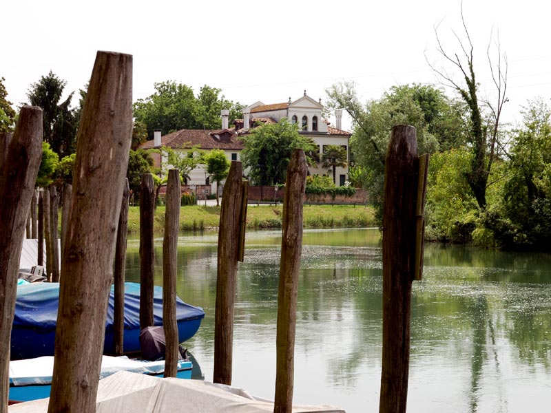
The Town
The river Sile presents considerable natural features until it enters Treviso: the stretch from Canizzano to the town is particularly interesting from this point of view. From Ponte di Ferro you can immediately grasp the difference between the upper and middle course of the river: it gets here wide and surrounded by a thick riparian vegetation, and from here it goes ahead between more and more "urban" banks, until it begins to run between walled banks. If you go along the right bank (Lungosile A. Mattei), rich in Plane trees (Platanus Ibrida), Black Locusts, and some interesting specimens of Celtis (Celtis australis), you will get to Ponte De Gasperi, on which it is worth stopping to observe the richness of the aquatic vegetation growing in the riverbed and mainly consisting of long and thin leaves similar to hair and Water Crowfoot (Ranunculus trichophyllus). On the left bank, the Locust tree (Robinia pseudoacacia) and the Common Elderberry (Sambucus nigra) dominate.
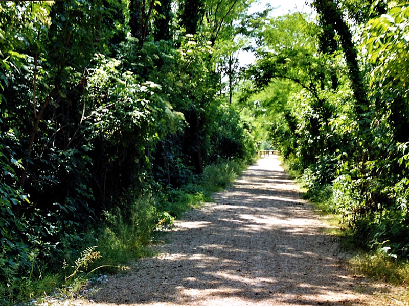
The Tow Paths
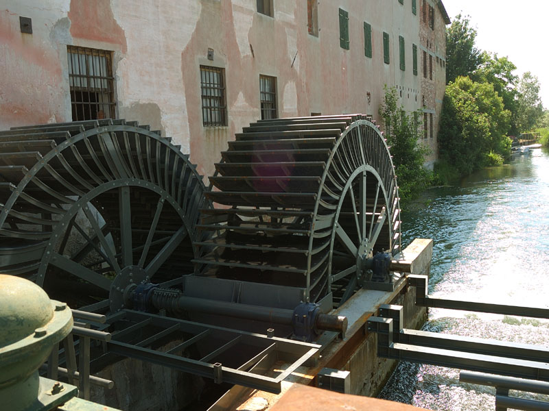
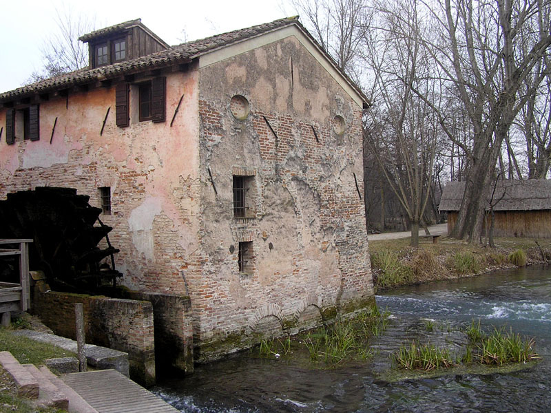
After leaving Treviso, the river Sile changes its features: the banks, low and marshy in its upper course, give way to a system of tow paths (called "alzaie" or "restere") which in the past were used to pull along the shore the big boats going upstream, and today are the ideal destination for people who want to spend some time in the open air: naturalists, sportsmen, the youth, young mums with their children, or grandparents...
Infinite Shades of Green
A curtain of infinite shades of green announces in spring the area of Sile Springs. If you come from the north, from Casacorba, by going along via Santa Brigida, you will find after a refreshment point a dirt road (to go along on foot) starting on the left. Immediately after, always on the left, a large "caredòn" (trail) penetrates into the group of plants surrounding it.
Afterwards, you will meet a fast watercourse, running at a bend between hollow banks: Zero.
It is the lesser brother of the river Sile, less famous but not less important, both for its environmental and historical aspects. Its waters had to enclose important food and water resources if, some kilometers downstream, it gave birth to the place name which, already in the 15th century, defined the first settlement of Badoere: Zeruol. Also the name Zero Branco derives from here.
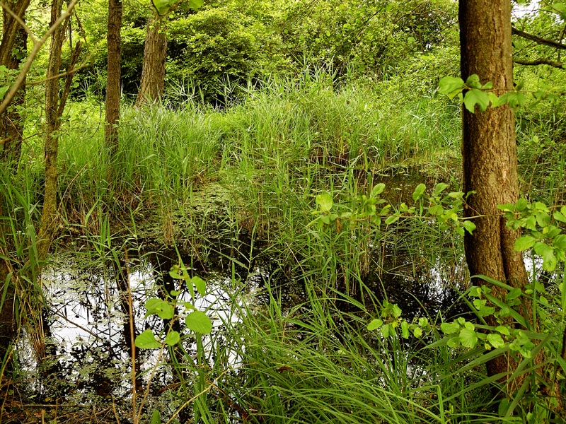
The Peat Bog
From Grande Quercia head towards the north and, after crossing a sluice marking the entrance of a private property, cross a peat bog and rather dry soil, mainly colonized by Common Reed (Phragmites australis) and Great Fen-sedge (Cladium mariscus). This cenosis represents an intermediate stage in the evolution of the marsh. As a matter of fact, the soils where the water table is superficial, or in which periodical overflows take place, that is the marshes, are subject to a natural and slow evolution.
The accumulation of vegetation on the soil, which changes year after year, gives origin to more and more compact peat bog soils like the one you are going through, on which various shrubs like Glossy buckthorns and Willows grow. Finally, high-trunk species drive their roots here, forming a new biotope: the plain wood. The high walls of marshy herbs leading you along an obliged route suddenly grow thin at the edges of an extraordinary green sea: the peat bog, delimited in the north by a line of shrubs with interesting specimens of White willow and at the bottom, in the west, by a single stump from where three Oak trunks branch off. The track on the ground becomes less evident, but always visible, and it is necessary to follow it not only not to damage hundreds of floristic species you can admire along the trail - some of which are very rare - but also because you are within a private property.
The summer mowing practiced by farmers preserves the extraordinary richness of the area which, above all in spring and in the first summer months, bursts out in the yellow color of the Yellow Rattle (Rhinanthus minor), scattered with the liliac of the Common Selfheal (Prunella vulgaris), or with the grey plumes of the feeble Broad-leaved Cottongrass (Eriophorum latifolium). Other species of considerable interest are the Grass of Parnassus (Parnassia palustris), the Eyebright (Euphrasia salisburgensis), the Wild thyme (Thymus serpyllum) and Orobanche gracilis, a curious parasite plant growing on the roots of the Dyer's greenweeds (Genista tinctoria).