


Itineraries
The Park's trails
In this section you can find a collection of the already existing proposals to visit the territory, in some cases they have been adapted and improved as far as their accessibility is concerned, or they have been equipped with description panels reporting interesting information. On foot or by bike, there are many opportunities you can enjoy in every season.
Trails and thematic itineraries
Map with georeferenced itinerary
Typology: On foot
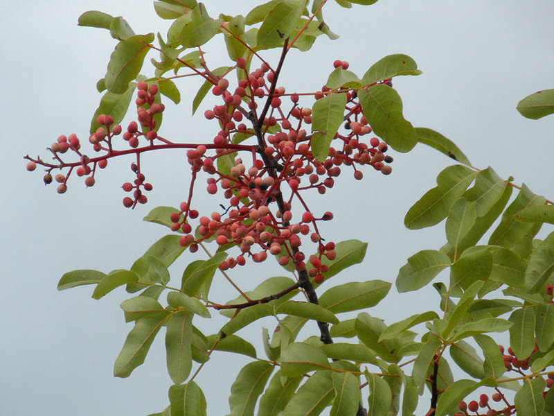
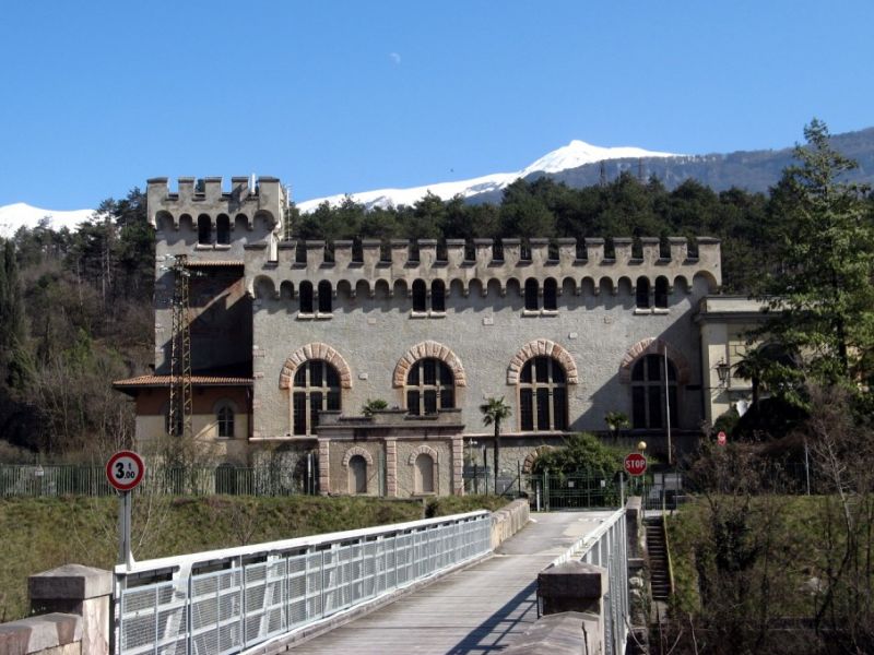
Interest: Flora, History
Map with georeferenced itinerary
Typology: On foot
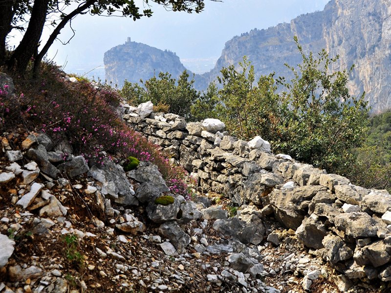
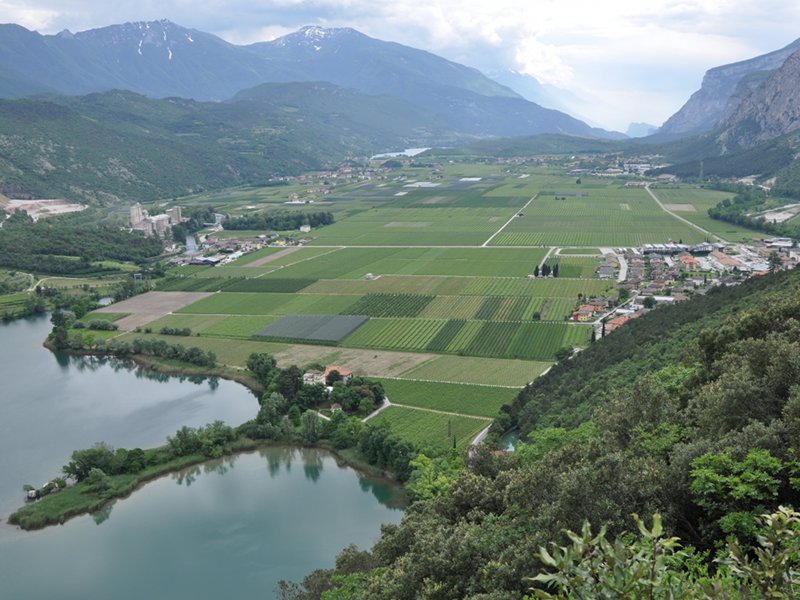
Interest: Flora, Panorama
Map with georeferenced itinerary
Typology: On foot
Duration: 1 h 30 m
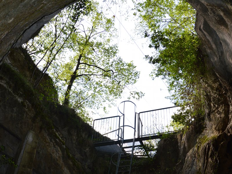
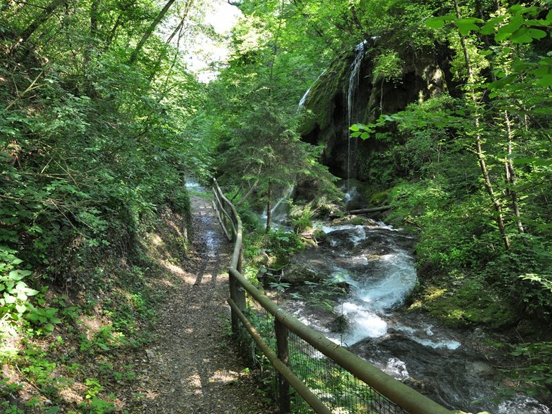
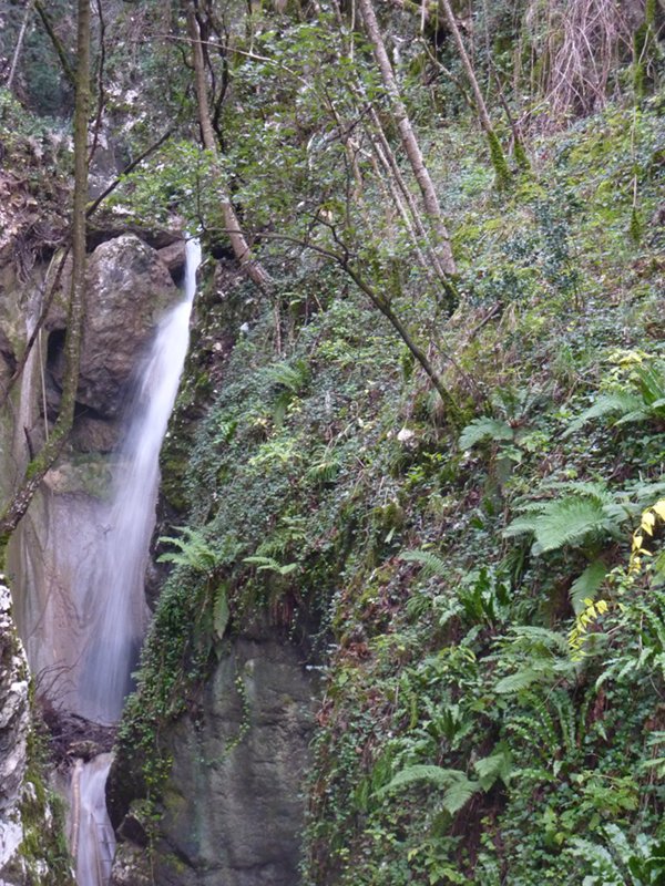
Interest: Geology
Map with georeferenced itinerary
Typology: On foot
Interest: Flora, Panorama
Map with georeferenced itinerary
Typology: On foot
Interest: Geology
Map with georeferenced itinerary
Typology: On foot
Interest: Flora, Wildlife
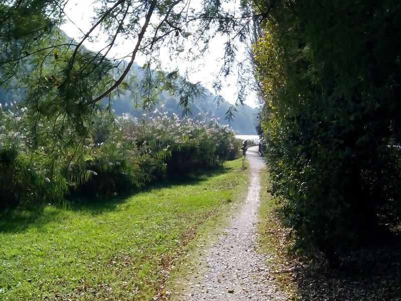
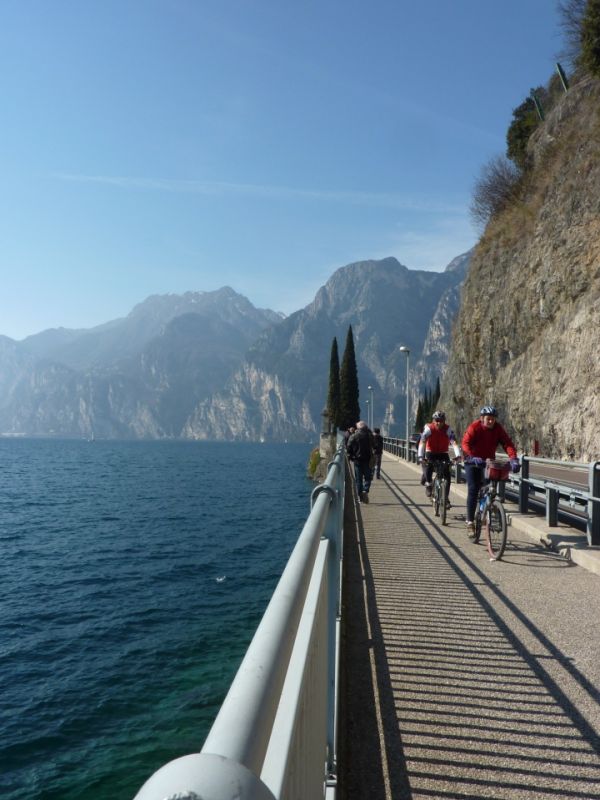
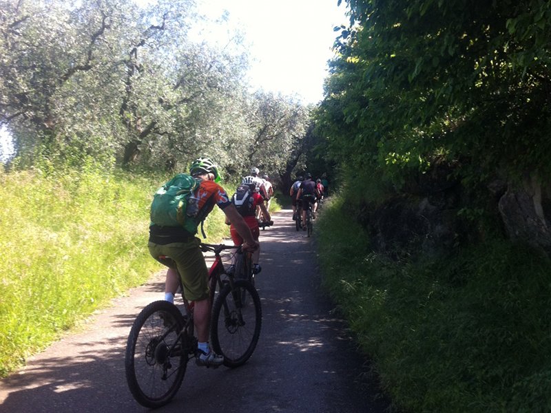
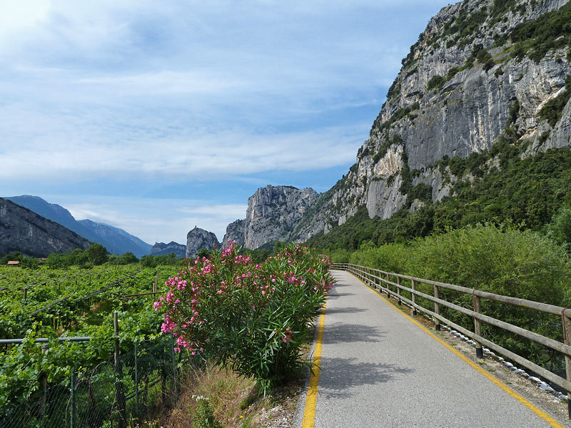
Cycle-pedestrian network
Map with georeferenced itinerary
Typology: On foot, By bike
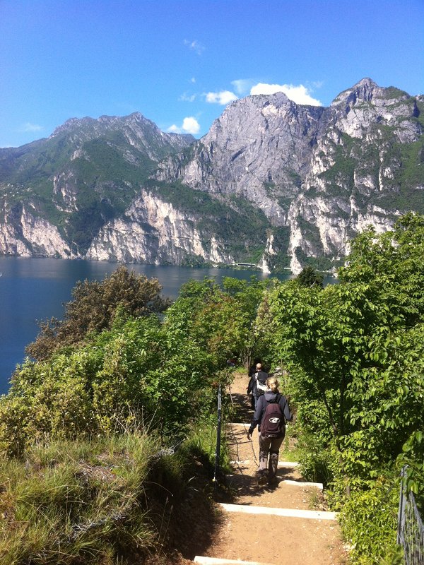
Interest: Panorama
Map with georeferenced itinerary
Typology: On foot, By bike
Interest: Flora, Panorama
Map with georeferenced itinerary
Typology: On foot, By bike
Interest: Panorama
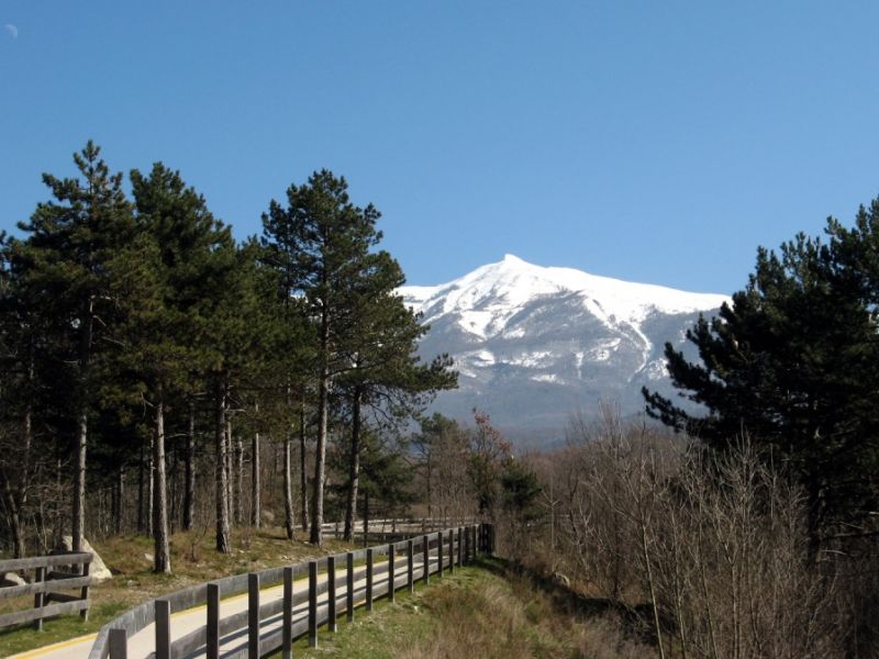
Map with georeferenced itinerary
Typology: On foot, By bike
Interest: Panorama


© 2024 - Consorzio dei Comuni del B.I.M. Sarca - Mincio - Garda