

Todi - Doglio
- Trail Conditions: On foot
- Duration: 5 hour/s
- Difficulty Level: E - Hiking (level)
- Length: 12 km
From Todi, in front of Montesanto Monastery, turn right: after 200m there is a Y-shaped crossroads with a picnic area from which you go down to a rural road and then to a carriage road up to Pontecuti bridge. After the bridge, go ahead uphill for 2 km always on the same road until you reach a crossroads at 327m of altitude where you turn left towards Canonica. The road transforms itself into a mule track you will follow even beyond S. Maria del Monte. Then you will take a larger road going uphill to 615m of altitude near Poggio Lipparoni, where, along a mule track and quickly downhill, you will reach Doglio and the one and only accommodation structure in the area.
6 lap of: The Great Traverse of the Tevere (GTT)
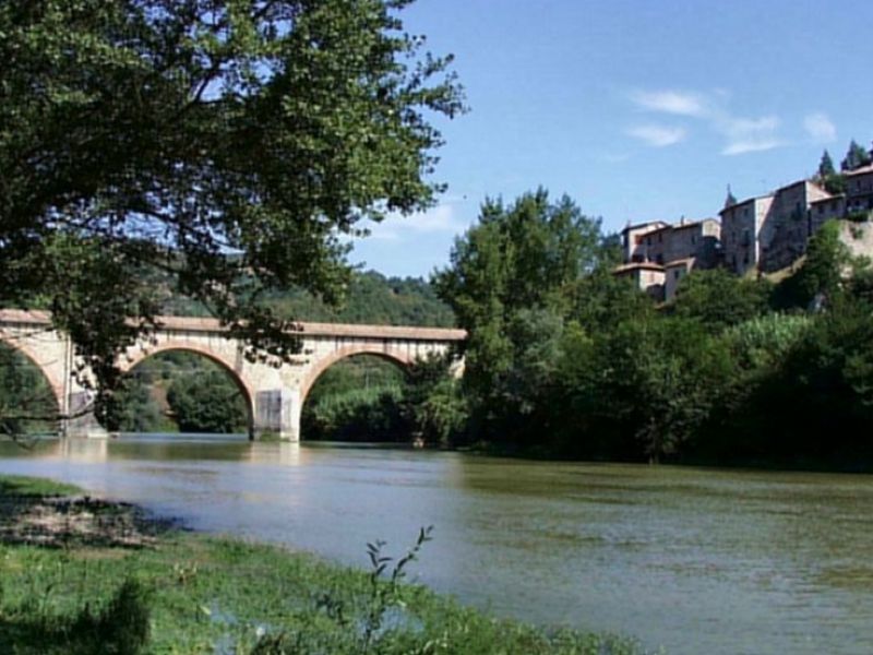
Pontecuti in Todi


© 2024 - Regione Umbria