

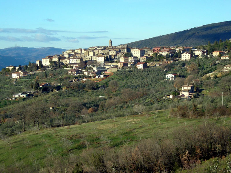
Trail C of Montecchio
Montecchio Trail
- Trail Conditions: On foot
- Interest: Flora, Panorama, Photography
- Departure: Montecchio
- Duration: 5 hour/s 30 minutes
- Difficulty Level: E - Hiking (level)
- Length: 11.6 km
From the centre of Montecchio, exit eastwards toward the cemetery and follow the road, at first tarmac then unsurfaced, leaving the cemetery and then a religious aedicule on the left. Continue on the unsurfaced road, ignoring many side deviations. The road, now silvopastoral, enters the holm oaks wood and starts rising decidedly; it forms two U-turns and arrives at a saddle (Piano Puosi) where it decidedly bends to the left, after having offered vast panoramic views on the Valley of the Tevere below, on the Lake of Alviano and, in the distance, on Mounts Cimino and Amiata. The landscape which appears to the east includes the Apennine Chain from Mounts Sibillini to the Gran Sasso. This is the ideal zone for a break. Start up again by following the carriage road that, distinctly proceeding uphill, goes past a widening and reaches a small clearing, from which, following the path traces on the right, you get to the crest of Mount Croce di Serra, earning a striking view. Where the ground levels, you need to find a path trace starting on the left, characterised by old red trail signs on the rocks. Follow the trail upwards, at first proceeding on open ground and then, after crossing a fenced area (wickets need to be opened and closed), hiking through the woods up until the cross on the top. After the first mountain top, descend towards the little saddle to the North between the two summits in order to quickly reach the other mountain top (Mount Melezzole), where antennas and repeaters are visible. Continue downwards following the service road with vast panoramic views until the ground levels out and the road bends decidedly to the right. There you leave the road and pass through a fence with a wooden wicket (to be opened and closed again), follow the half-way trail then leave the fenced-in area again, cross a clearing and take again a service silvopastoral which, in descent and shortly, brings you to the saddle at the base of Mount Citernella, crossing the driving road connecting Montecchio and Melezzole; here there is a rest area with tables and a drinking fountain. From the rest area you take the descending silvopastoral, which ends on the tarmac road near Torre Petroro. From here you follow the tarmac road down until you return to the centre of Montecchio.
 Trail C of Montecchio (PDF - 1.3Mb)
 Download KMZ
 Download in GPX format


