


Itineraries
Itineraries
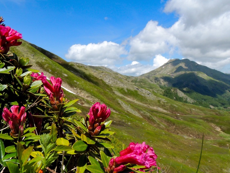
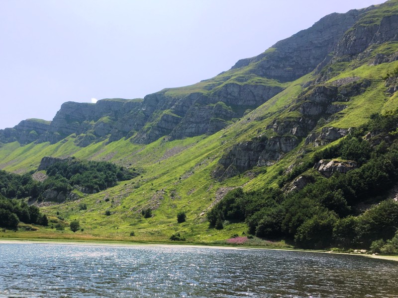
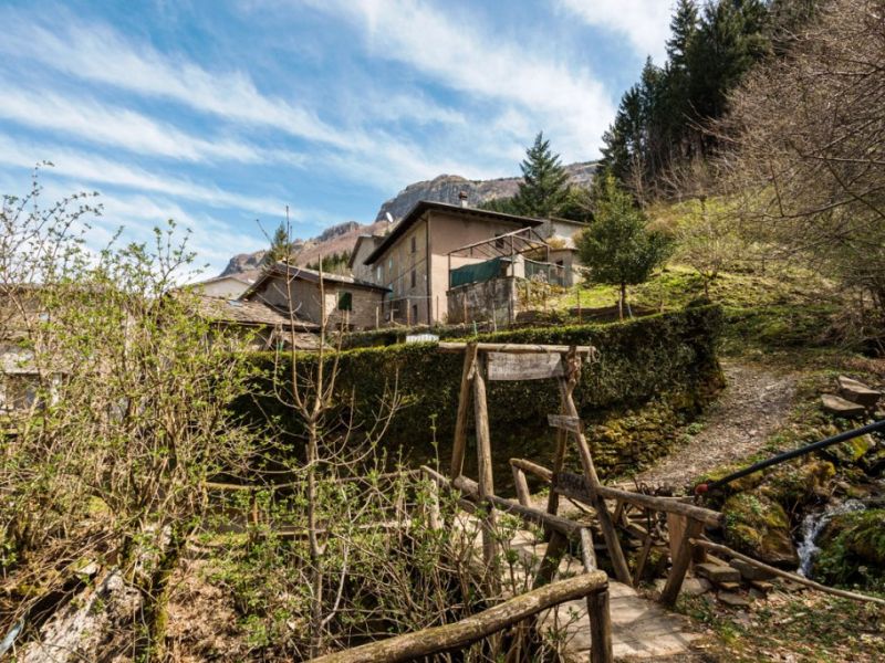
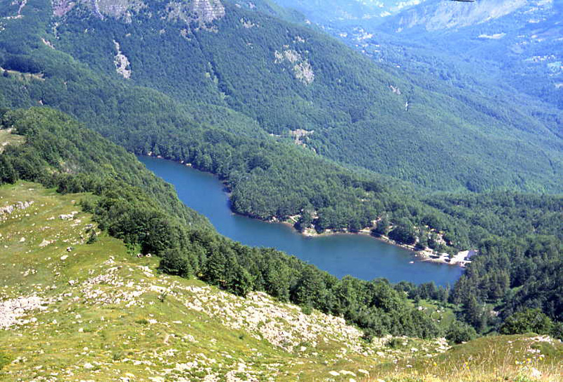
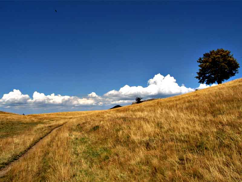
The Frignano Park is the ideal place for sport and nature lovers who want to discover greenery and the breathtaking views of the mountains. The protected area offers a rich network of trails and routes especially conceived for trekking and mountain bike experts. The Appennine horse trail, which runs through the park, is much appreciated by horse riding enthusiasts, while those who love juggling with compass and map will find a rich calendar of orienteering proposals.
Itineraries
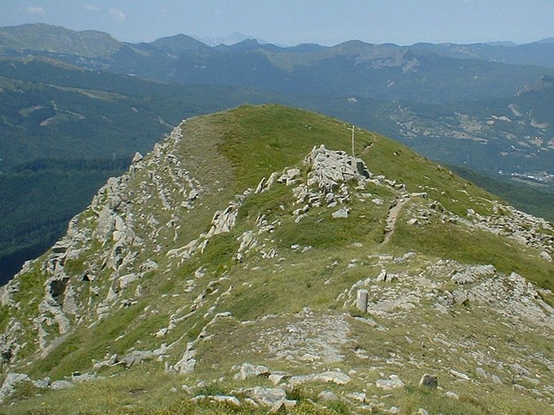
To the summit of Mt. Cimone
From Lago Ninfa to Vetta del M. Cimone
Map with georeferenced itinerary
Typology: On foot
Difficulty Level: EE - For expert hikers
Duration: 3 h 26 m
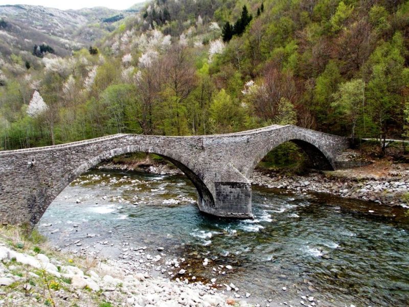
Across the ancient bridges
From Pievepelago to Pievepelago
Map with georeferenced itinerary
Typology: On foot
Difficulty Level: T - Tourist (level)
Duration: 4 h 31 m
Hike to Libro Aperto
From I Taburri to I Taburri
Map with georeferenced itinerary
Typology: On foot
Difficulty Level: EE - For expert hikers
Duration: 6 h 44 m
Ancient hamlets and Lake Pratignano
From Località Due Ponti to Località Due Ponti
Map with georeferenced itinerary
Typology: On foot
Difficulty Level: E - Hiking (level)
Duration: 7 h 42 m
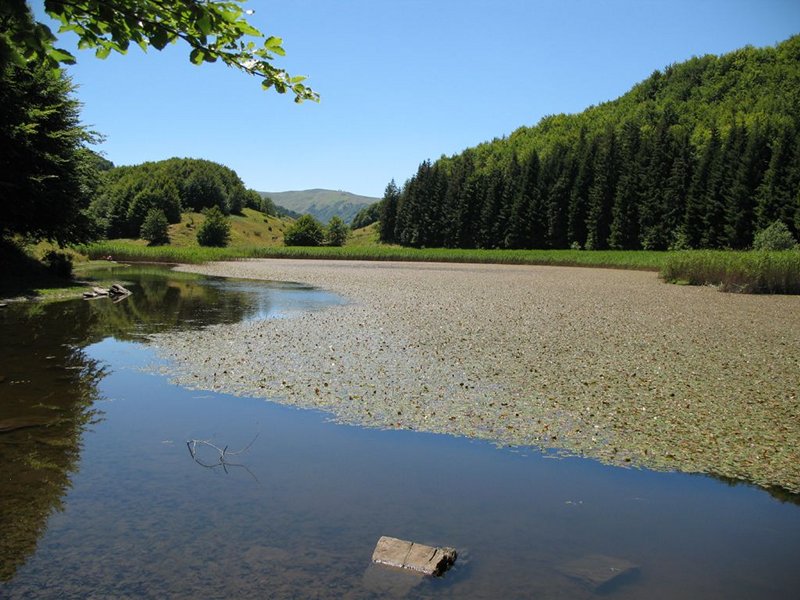
The glacial lakes
From Lago Santo Modenese to Lago Santo Modenese
Map with georeferenced itinerary
Typology: On foot
Difficulty Level: EE - For expert hikers
Duration: 4 h 57 m
The Apennine's Far West
From Seggiovia dello Stellaro to Seggiovia dello Stellaro
Map with georeferenced itinerary
Typology: On foot
Difficulty Level: E - Hiking (level)
Duration: 6 h 8 m
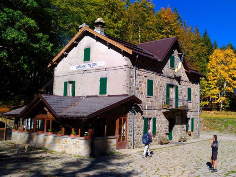
Piccola Cassia, Stage 5
From Rocca Corneta to Capanna Tassoni
Map with georeferenced itinerary
Typology: On foot
Duration: 11 h 28 m
Piccola Cassia, Stage 6
From Capanna Tassoni to Cutigliano
Map with georeferenced itinerary
Typology: On foot
Duration: 7 h 19 m
Romea Nonantolana, Stage 6
From Fanano to Valico della Croce Arcana
Map with georeferenced itinerary
Typology: On foot
Difficulty Level: E - Hiking (level)
Duration: 9 h
Romea Nonantolana Stage 6var
From Fanano to Lago Scaffaiolo
Map with georeferenced itinerary
Typology: On foot
Difficulty Level: E - Hiking (level)
Duration: 6 h 7 m
Map with georeferenced itinerary
Typology: On foot
Difficulty Level: E - Hiking (level)
Duration: 11 h 21 m
Map with georeferenced itinerary
Typology: On foot
Difficulty Level: E - Hiking (level)
Duration: 6 h 57 m
Romea Strata T15NL
From Capanna Tassoni to Cutigliano
Map with georeferenced itinerary
Typology: On foot
Difficulty Level: E - Hiking (level)
Duration: 7 h 28 m
Sentiero Spallanzani, Stage 8
From Rifugio Battisti to San Pellegrino in Alpe
Map with georeferenced itinerary
Typology: On foot
Difficulty Level: E - Hiking (level)
Duration: 8 h 37 m
On the mountains of Sant'Anna
From S. Anna Pelago to S. Anna Pelago
Map with georeferenced itinerary
Typology: On foot
Duration: 3 h 54 m
On the footsteps of St. Geminiano
From Passo delle Radici to Passo delle Radici
Map with georeferenced itinerary
Typology: On foot
Difficulty Level: E - Hiking (level)
Duration: 4 h 39 m
On the Via Romea Nonantolana
From Centro di Fanano to Ospitale
Map with georeferenced itinerary
Typology: On foot
Difficulty Level: T - Tourist (level)
Duration: 4 h 45 m
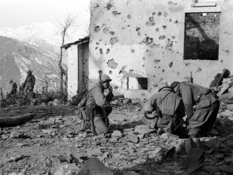
Migrants and the Gothic Line
From Trignano to Trignano
Map with georeferenced itinerary
Typology: On foot
Difficulty Level: E - Hiking (level)
Duration: 7 h 12 m
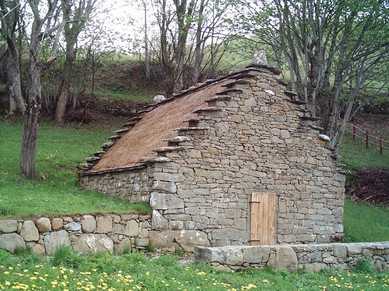
Pastureland and celtic huts
From Doccia to Doccia
Map with georeferenced itinerary
Typology: On foot
Difficulty Level: E - Hiking (level)
Duration: 4 h 40 m
Via Germanica Imperiale, Stage 14
From Montecreto to Fiumalbo
Map with georeferenced itinerary
Typology: On foot
Duration: 12 h 34 m
Via Germanica Imperiale, Stage 14 (variant)
From Montecreto to Fiumalbo
Map with georeferenced itinerary
Typology: On foot
Duration: 12 h 45 m
Via Germanica Imperiale, Stage 15
From Fiumalbo to Cutigliano
Map with georeferenced itinerary
Typology: On foot
Duration: 12 h 36 m
Via Matildica del Volto Santo, Stage 8B
From Variante Gazzano to San Pellegrino in Alpe
Map with georeferenced itinerary
Typology: On foot
Duration: 8 h 2 m
Via Matildica del Volto Santo, Stage 8
From Gazzano to San Pellegrino in Alpe
Map with georeferenced itinerary
Typology: On foot
Duration: 15 h 11 m
The Alta Via dei Parchi
A long hike in the northern Apennines
The Alta Via dei Parchi is a 27 stages long itinerary to be walked along the Apennines between Emilia-Romagna, Tuscany and the Marches.
7 - San Pellegrino in Alpe - Lago Santo modenese
This is a beautiful stage moving towards the highest mountains in the Modena area and the renowned tour- ist destination Lago Santo.
Departure: San Pellegrino in Alpe
7 Lap of: Alta Via dei Parchi
Map with georeferenced itinerary
Typology: On foot
Duration: 5 h 30 m
8 - Lago Santo modenese - Abetone
Though this is a fascinating stage in terms of environment and landscape, it is a little spoiled by the ski facilities of Val di Luce. In the valley of Sestaione one goes through the most beautiful forest along the Alta Via up to this point.
Departure: Lago Santo modenese
8 Lap of: Alta Via dei Parchi
Map with georeferenced itinerary
Typology: On foot
Duration: 7 h
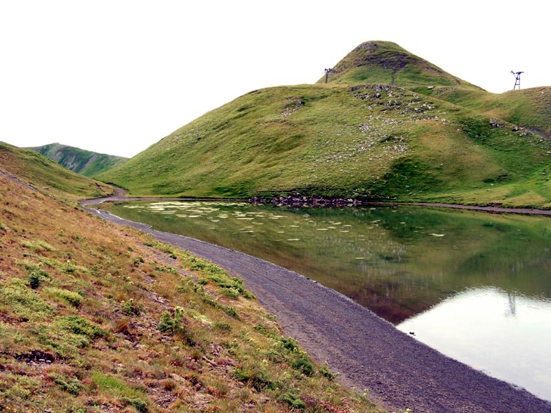
9 - Abetone - Lago Scaffaiolo
This stage is a classic and scenic hike that connects two of the most famous places of the northern Apennines.
Departure: Abetone (La Consuma)
9 Lap of: Alta Via dei Parchi
Map with georeferenced itinerary
Typology: On foot
Duration: 7 h
Sentiero Italia CAI
(SI L14) Lago Scaffaiolo - Abetone (Boscolungo)
Departure: Lago Scaffaiolo
245 Lap of: Sentiero Italia CAI
Map with georeferenced itinerary
Typology: On foot
(SI L15) Abetone (Boscolungo) - Lago Santo Modenese
Departure: Abetone (Boscolungo)
246 Lap of: Sentiero Italia CAI
Map with georeferenced itinerary
Typology: On foot
(SI L16) Lago Santo Modenese - Passo delle Radici
Departure: Lago Santo Modenese
247 Lap of: Sentiero Italia CAI
Map with georeferenced itinerary
Typology: On foot


© 2024 - Ente di gestione per i Parchi e la Biodiversità Emilia Centrale