Genga – Valle Scappuccia
Short tour between history and environment
- Trail Conditions: On foot
- Interest: Flora, Wildlife, Geology, Hystory, Photography
- Duration: 1h and 40 min
- Difficulty Level: T, E
- Length: 5.7 km
- Difference in height: 287m
Typology: outward journey
Trail marker: 107 AG
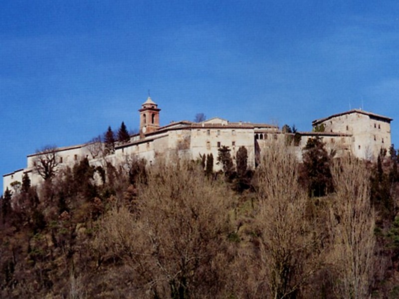
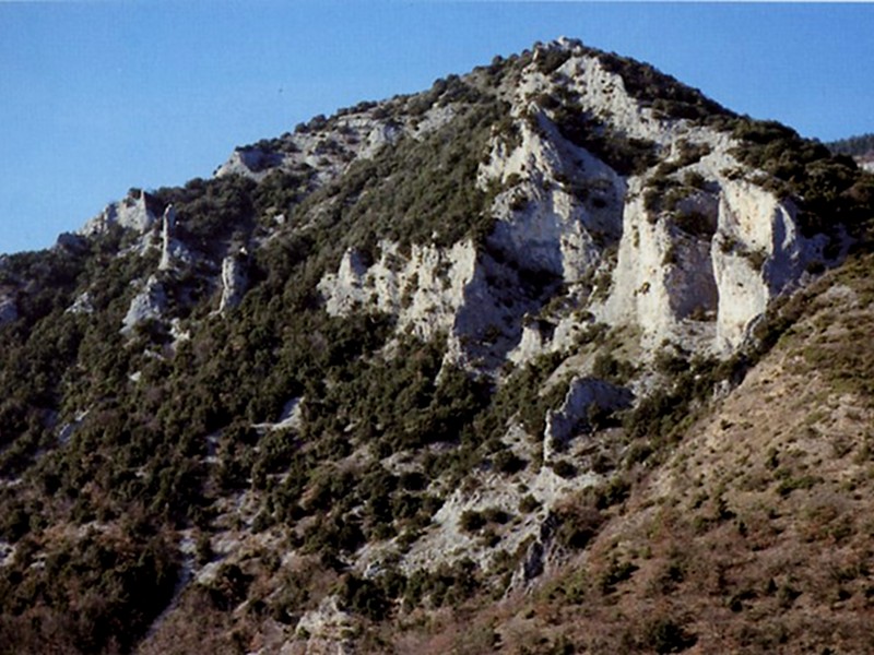
From Albergo Magrini, at the junction Pandolfi, you can reach Genga Castle following the old uphill road and crossing a small valley beyond the above-mentioned hotel, until you reach a concrete staircase going down from the car park adjacent the Castle. On the first step, turn left to take the large and panoramic flat trail up to the crossroads with the road which, cut into the mountainside, leads to the settlement of Monticelli. Take the asphalt road to cross the small country hamlet and, after the last house, take the carriage road leaving from the town center and going uphill, across the woodland, until you reach the pass separating Colle Bertone from Mt. Piano. From the Pass delimiting Valle Scappuccia, go ahead on the right along the easy carriage road and, beyond the northern slope of Mt. Piano, immediately before reaching the town of Capo la Villa halfway the steep downhill trail, turn left and take a beautiful trail characterized by hairpin bends which, across a thick woodland, goes down into the green valley. In the valley bottom, the trail runs along the torrent and crosses it more than once, to reach the spectacular hall delimiting, on the side of the road, this small but unforgettable corner of the Park.