Mt. Ginguno and Mt. La Croce Ring-route
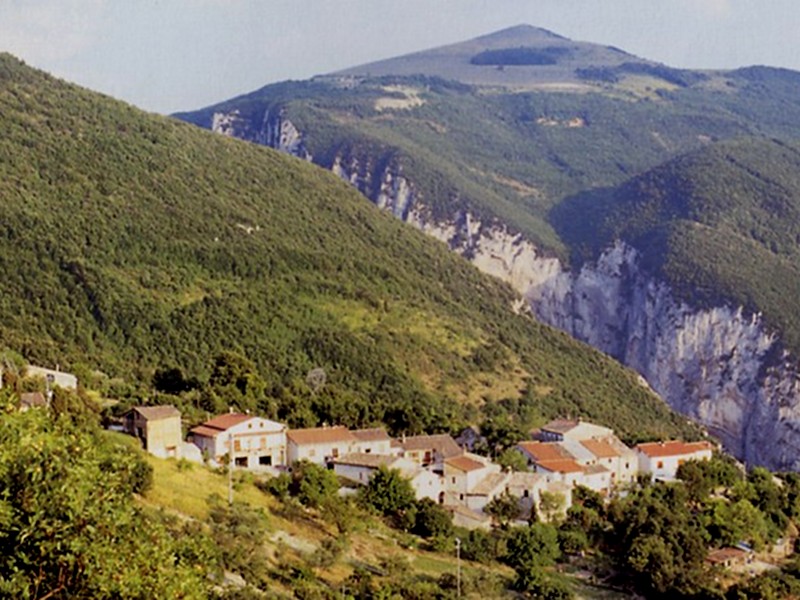
A short ring-route around the summits of the northern slope of Gola di Frasassi
- Trail Conditions: On foot
- Interest: Flora, Wildlife, Panorama, Photography
- Duration: 3h and 05 min
- Difficulty Level: E
- Length: 11.45 km
- Difference in height: 367m
Typology: ring-route
Trail markers: 121, 139 AG, 121 B, 121
From Albergo Magrini, at the junction Pandolfi, follow the asphalt road leading to Vallemania. Beyond the junction to Fossi Lake, after about 200 meters, take the trail on the left entering the woodland and climbing the western slope of Mt. Castellaro first and the southern slope after, and leading then to Vallemania. From the village church, take the narrow road on the left crossing a small vineyard, then at the first junction turn right to take the carriage road climbing the western slope of Mt. La Croce and leading to the pass of Colle S. Angelo. Go ahead on the left, along the carriage road, towards the first houses of Rosenga. From this small country hamlet climb, along the carriage road, to the pass separating Mt. Frasassi from Mt. Ginguno. From the pass go straight ahead, in the east, taking trail 139AG which, keeping left, leads to the small mountain hut of the forest service. Go ahead across the fir tree woodland cutting the eastern slope of Mt. Ginguno and Mt. La Croce until you reach the junction with trail 121B in loc. Piano di Serra. Follow trail 121B climbing the northern slope of Mt. La Croce across a low undergrowth until you reach the pass separating Mt. La Croce from Mt. Castellaro. From the pass, always following the carriage road, go down on the right on the opposite slope, across the woodland, reaching the church of Vallemania and therefore, along the same outward itinerary, go back to the junction Pandolfi.