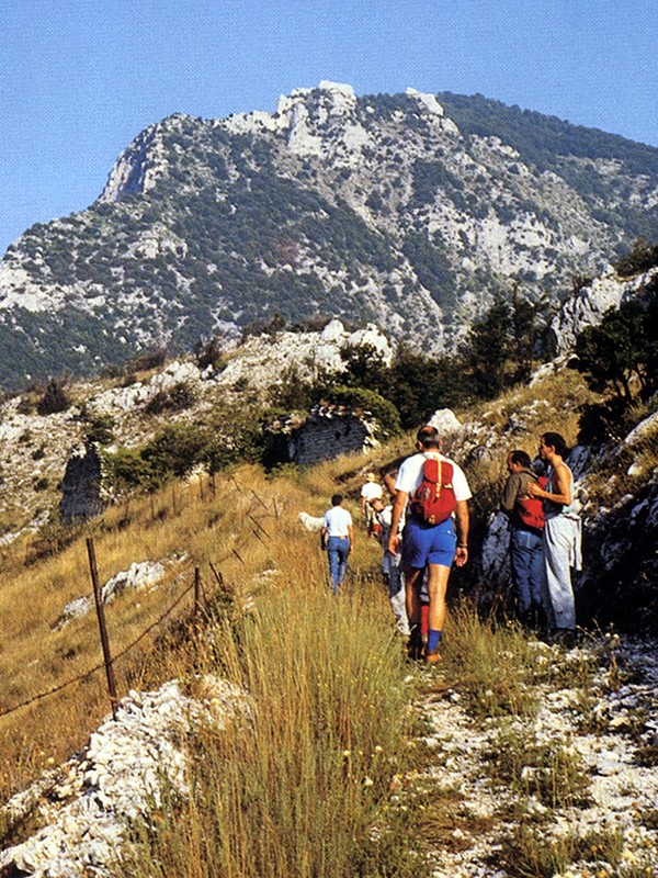
Serra S. Quirico – S. Bartolo – Mt. Murano
From Serra San Quirico to the summit of Mt. Murano
- Trail Conditions: On foot
- Interest: Flora, Wildlife, Panorama, Religion, Hystory, Photography
- Duration: 1h and 40 min
- Difficulty Level: E
- Length: 4.05 km
- Difference in height: 582m
Typology: outward itinerary
Trail markers: 143, 143 A
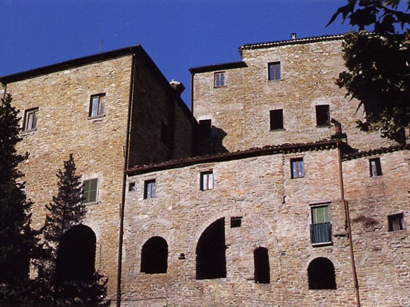
On the left side of the former church of S. Maria del Mercato, today Municipal Theater, the itinerary leading to the summit of Mt. Murano starts with trail 143. Walking along the building on the right, you will reach a widening of the road among the houses. Take a short ramp on the left, and you will get out of the town. Go ahead on the right along a large trail, protected for long stretches by a fence, going uphill the woody slope with easy hairpin bends. Do not consider the detour on the left leading to an old spring, and you will shortly reach the road leading uphill to the meadows of S. Bartolo. After crossing the road, the trail continues uphill cutting crosswise the slope, with some steps in the steepest stretches. After about 300 meters, you will arrive near the old isolated farmhouse in the meadows. After the junction with trail 141A, go ahead uphill, staying inside the woody area. At q. 555, you will meet the dirt road used for coppice wood, and follow it on the right. After about one hundred meters, you will reach the meadows in the north of the summit and go ahead towards the evident ruins of Case Marcellini. From here, follow the dirt road that, almost flat at first, and more steep and narrow after, leads to the summit of Mt. Murano.