Parks.it Homepage

Parco Naturale del Gran Bosco di Salbertrand


Itineraries

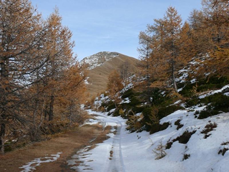
All the roads and trails of Gran Bosco di Salbertrand Park are mainly recommended for the summer. During the winter, many itineraries do not guarantee adequate safety levels. Therefore, before taking a trail with snow or ice, it is recommended to check its practicability by contacting the staff of the Park Authority, the manager of D. Arlaud Mountain Hut, and the weather-snow bulletins.

Updates on the practicability of trails and roads within the Park

PDF The Park Brochure (PDF - 2.6Mb)
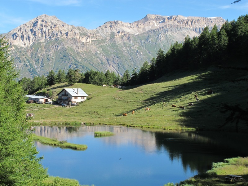
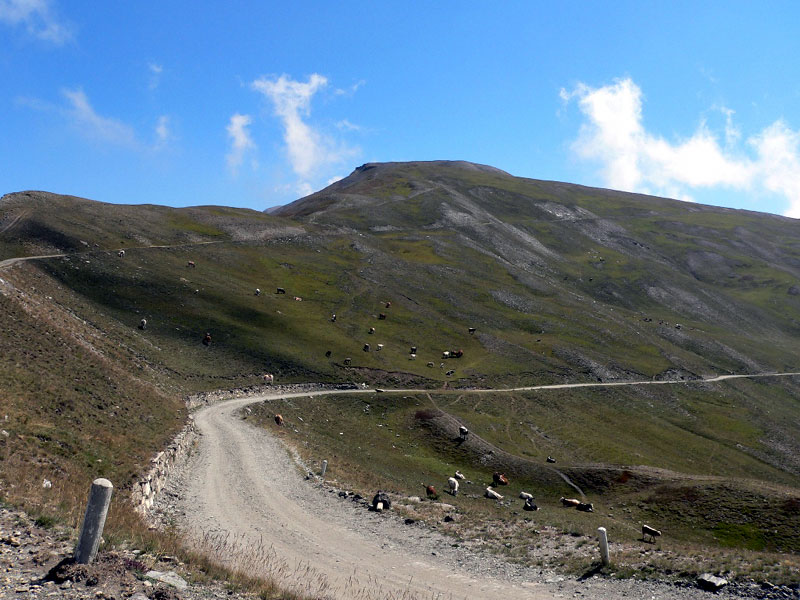
The Park Roads

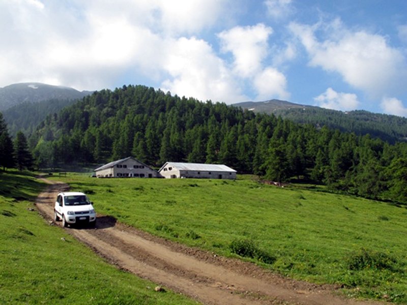
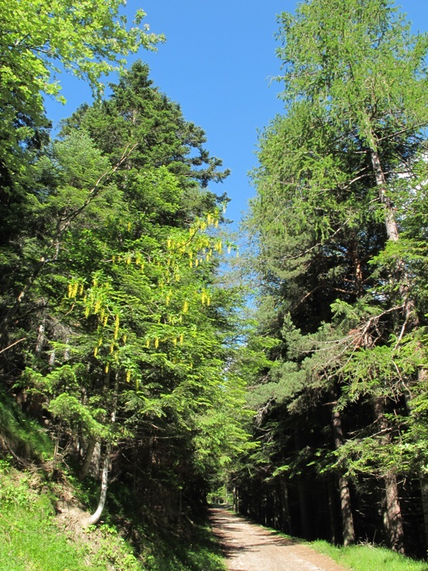
All roads within the Park are closed to the traffic of motor vehicle, except for the authorized vehicles (L.R. no.16/1991). They can be followed on foot, by MTB and, during the winter, with the skis or with snow rackets.
Exceptions include the road Sauze d'Oulx-Monfol-Ser Blanc (open all year round up to Monfol and, during the summer, up to the picnic area Ser Blanc within the Park) and the SP road no.173 of Assietta along the watershed between Valle di Susa and Valle Chisone, since 2007 object of an enhancement and traffic regulation plan.
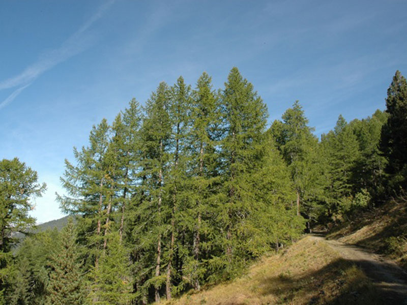


The Park Roads
Road Arguel - Gran Seren
Typology: On foot, By bike
Road Sauze d'Oulx-Monfol-Ser Blanc
Typology: On foot, By bike
Salbertrand - Sapè
Typology: On foot, By bike
Salbertrand-Ser Blanc Road
Departure: Salbertrand presso
Typology: On foot, By bike
Ser Blanc-Col Blegier
Typology: On foot, By bike
Ser Blanc-Montagne Seu
Typology: On foot, By bike
SP Road no. 173 of Assietta
Typology: On foot, By bike

Hiking Itineraries

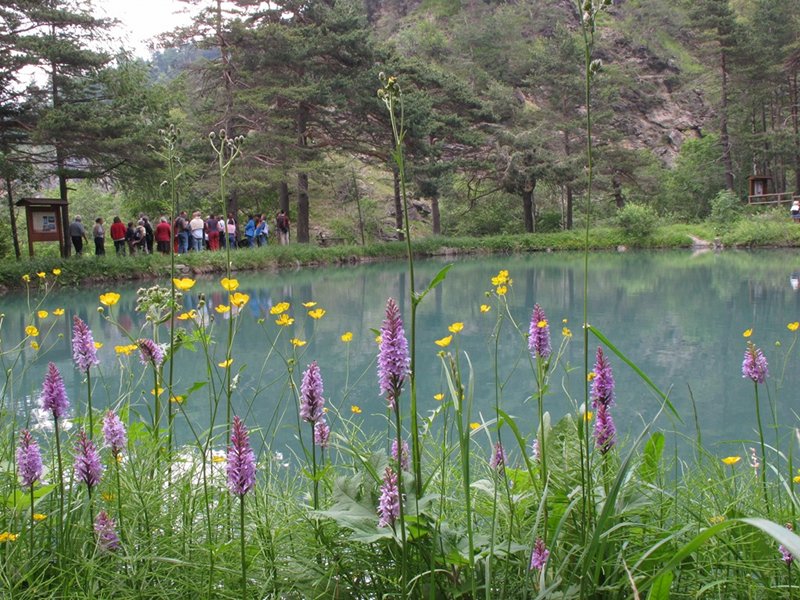
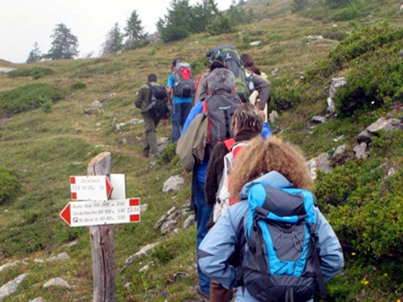
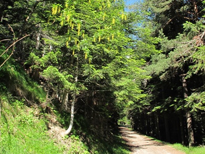
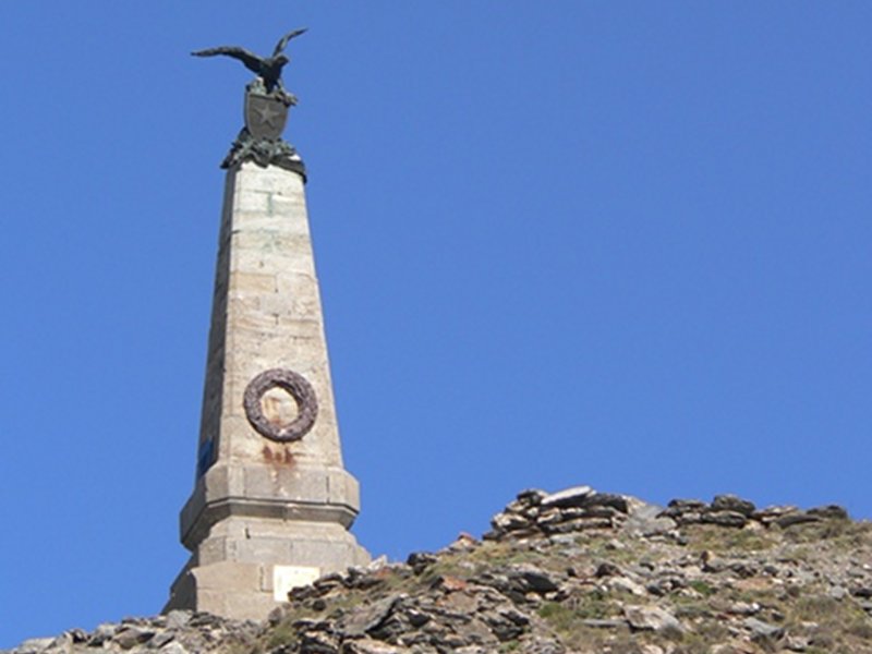
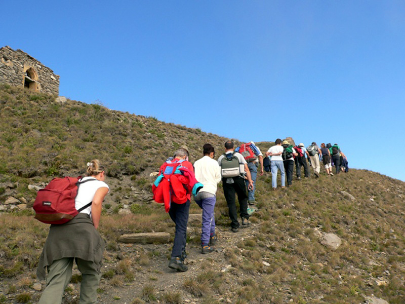
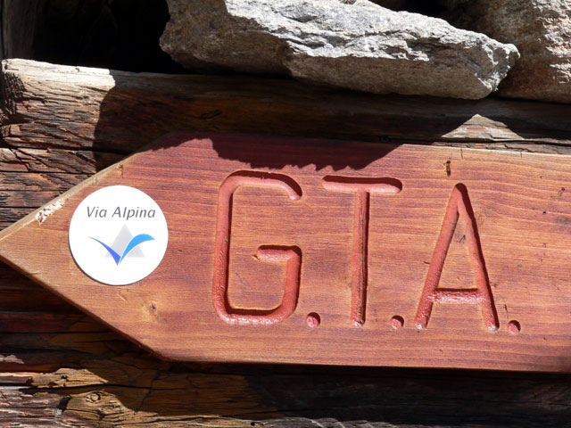
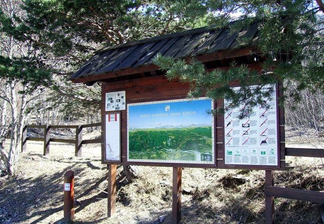
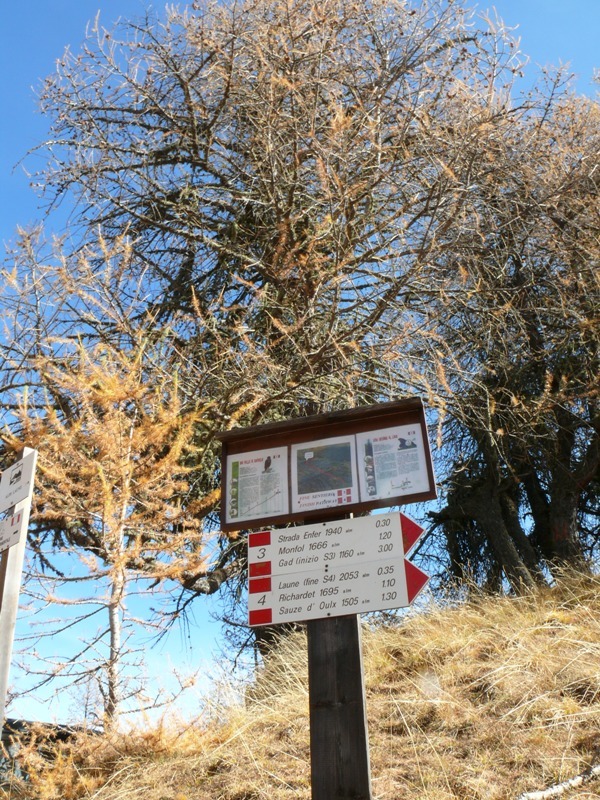
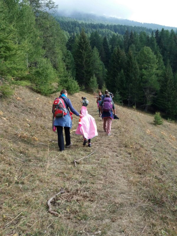
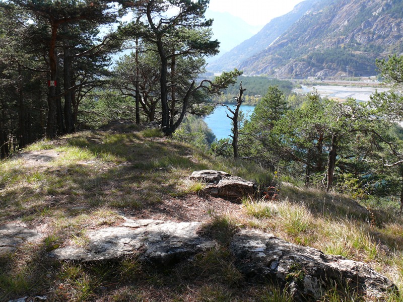
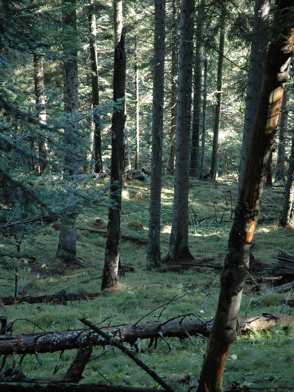
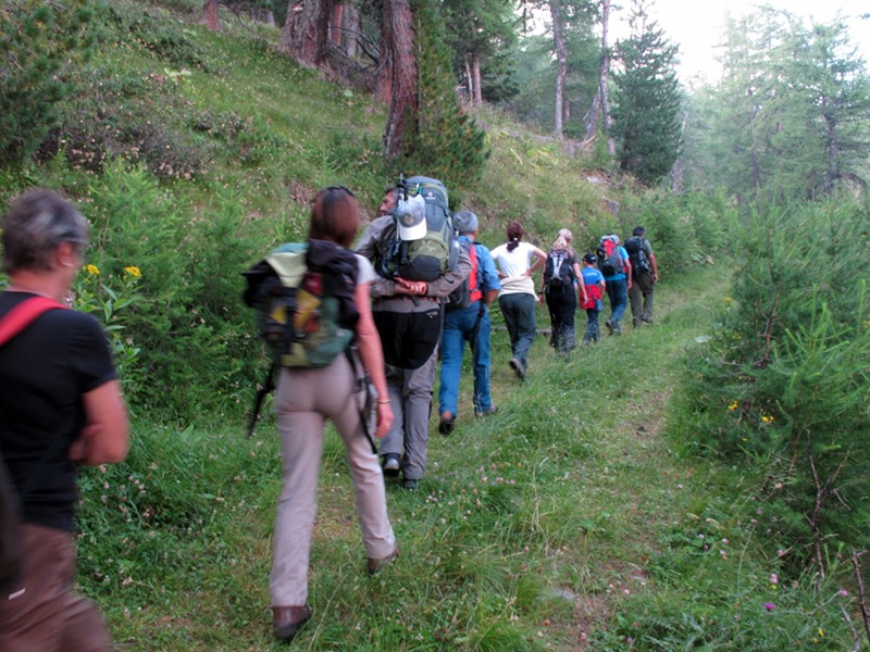
The Park is crossed by a thick network of hiking trails, for all needs and skills, developing from the valley bottom to the watershed with Val Chisone and crossing the protected area from the east to the west. All the dirt roads are closed to motor vehicles and can be followed on foot, by bike, with the skis or with snow rackets. Some trails are of international importance (Via Alpina, the Roads of the Waldensians) or national importance (the Great Traverse of the Alps or Via Francigena), others are extremely significant to discover the environmental, historical, and cultural features of the territory (Self-guided Nature Trails, 14 Itineraries of Gran Bosco by the Park Keepers). They are all well-marked and periodically maintained by the Park Authority. According to the Park regulations (L.R. no.16/1991), it is not allowed to abandon the marked trails.


Hiking Itineraries
GTA - Great Traverse of the Alps
Departure: Salbertrand
Typology: On foot
Difficulty Level: EE - For expert hikers
Duration: 6 h 30 m
Interest: Flora, Panorama, History
Typology: On foot
Interest: Panorama, History
The Roads of the Waldensians
Departure: Salbertrand
Typology: On foot
Difficulty Level: EE - For expert hikers
Duration: 5 h
Interest: Panorama, History
The Trail of the Franks
Departure: Oulx - Frais
Typology: On foot
Difficulty Level: EE - For expert hikers
Duration: 6 h
Interest: Geology, Panorama, History

Self-guided Nature Trails (SNA - Sentieri Naturalistici Autoguidati)

Itineraries marked with boundary stones and metal trail markers along the trails.
The guidebook "Occhi aperti sul Parco", describing in detail all the stops, is for sale in the Visitor Center.


Self-guided Nature Trails (SNA - Sentieri Naturalistici Autoguidati)
Itinerary A
Departure: Pinea
Typology: On foot
Duration: 4 h
Itinerary B
Departure: Pinea
Typology: On foot
Duration: 2 h
Itinerary C
Departure: Monfol
Typology: On foot
Duration: 5 h
Itinerary D
Departure: Monfol
Typology: On foot
Duration: 2 h 30 m

14 Itineraries by the Park Keepers

Crossing the Bends
Crossing the Bends
Trail no. 1
Departure: Salbertrand
Typology: On foot
Difficulty Level: EE - For expert hikers
Duration: 2 h 30 m
Interest: Flora
In the Heart of the Woodland
Trail no. 2
Departure: Salbertrand
Typology: On foot
Difficulty Level: EE - For expert hikers
Duration: 2 h 30 m
From One Thousand to Two Thousands
Typology: On foot
Difficulty Level: EE - For expert hikers
Duration: 3 h
Tour around the Lake
Trail no. 4
Departure: Sauze d'Oulx
Typology: On foot
Difficulty Level: T - Tourist (level)
Duration: 35 m
The Road of the Cannons
Trail no. 5
Departure: Sauze d'Oulx
Typology: On foot
Difficulty Level: E - Hiking (level)
Duration: 2 h 30 m
The Short Cut
The Short Cut
Trail no. 6
Departure: Sauze d'Oulx
Typology: On foot
Difficulty Level: T - Tourist (level)
Duration: 40 m
Gran Bosco Mule Track
Trail no. 7
Departure: Sauze d'Oulx
Typology: On foot
Difficulty Level: E - Hiking (level)
Duration: 1 h 30 m
'Le Tagliate'
'Le Tagliate'
Trail no. 8
Departure: Oulx
Typology: On foot
Difficulty Level: E - Hiking (level)
Duration: 1 h 15 m
Runa Mule Track
Runa Mule Track
Trail no. 9
Typology: On foot
Difficulty Level: EE - For expert hikers
Duration: 3 h 45 m
The Hauling Trail
The Hauling Trail
Trail no. 10
Departure: Sauze d'Oulx
Typology: On foot
Difficulty Level: T - Tourist (level)
Duration: 45 m
The Trail of Alpini
Typology: On foot
Difficulty Level: E - Hiking (level)
Duration: 1 h 30 m
Cravassa Road
Cravassa Road
Trail no. 12
Typology: On foot
Difficulty Level: EE - For expert hikers
Duration: 3 h
Assietta Mule Track
Assietta Mule Track
Trail no. 13
Departure: Exilles
Typology: On foot
Difficulty Level: EE - For expert hikers
Duration: 5 h
The Summer Pastures Mule Track
Trail no. 14
Departure: Frais
Typology: On foot
Difficulty Level: E - Hiking (level)
Duration: 2 h 30 m

The Ecomuseum Route

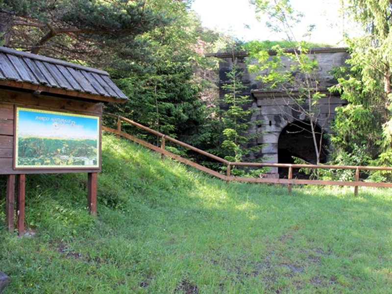
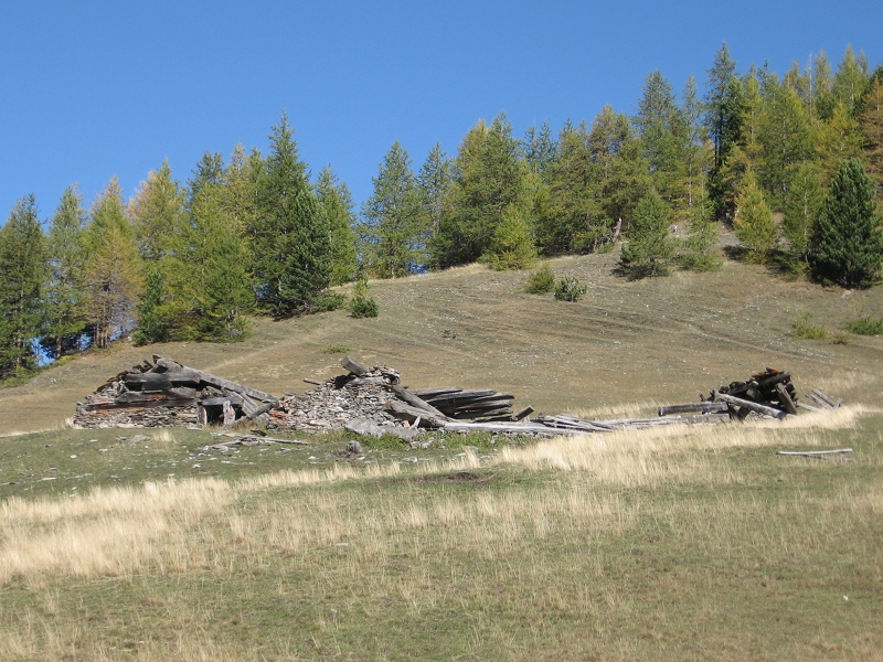
Between the town of Salbertrand and Gran Bosco Park, a ring-route of about 7 km (walking time: about 2 hours) develops. It touches structures and ancient buildings witnessing the religiousness and the material culture of the community of Salbertrand and of the whole Valley of Upper Dora.
The watermill, the community oven, the 19th century ice house, the charcoal pile, the ruins of the old lime kilns, the forest site, the Parish Church and its treasures, the frescoed chapel of the Annunciation, the site dedicated to the Grand Rentrée of the Waldensians tell us centuries of history and exploitation of the territorial resources and represent demonstration points of the production activities carried out according to traditional methods.

PDF Brochure of the Ecomuseum (PDF - 2.9Mb)

Smoke-sauna
Smoke-sauna
Guided visit to the ice-house
share-stampashare-mailQR Codeshare-facebookshare-twitter
© 2024 - Ente di gestione delle aree protette delle Alpi Cozie