Salbertrand - Sapè
- Trail Conditions: On foot, By bike
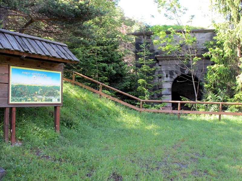
The road leading from Salbertrand to Sapè di Salbetrand first and then to Sapè di Exilles was laid down in the 1960s, as an alternative to the old mule track climbing to loc. Le Gorge. The dirt road leaves behind the service area Gran Bosco Est and, about 200 meters ahead, reaches the bar hindering the transit of motor vehicles in the Park. Close to Fort Sapè, a second bar marks the Park boundary in the direction of Exilles. The road Exilles - Fort Sapè is a through road because it is situated out of the protected area, it was laid down in 1882 for military purposes.
From the houses in Sapè di Salbertrand a service road, which is not accessible if not authorized, climbs across the fir tree woodland and crosses the area of Frana del Cassas (Cassas landslide). From here it is possible to reach the site which a few years ago was drained from subterranean waters in order to protect the service areas of Highway A32 Turin-Bardonecchia.