

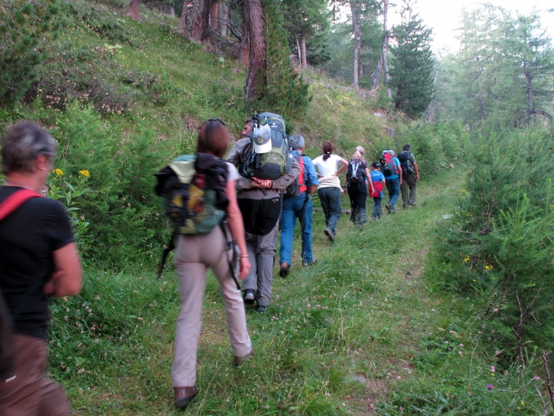
Cravassa Road
Trail no. 12
- Trail Conditions: On foot
- Duration: 3 hour/s
- Difficulty Level: EE - For expert hikers
- Length: 4.575 km
- Difference in height: 1,065m
Along the SP road of Exilles Station, 50m before Rio Bacoun Recreational Area, you will find on the right a dirt road leading to the chalets of Cravassa (1,300m).
The trail continues until it meets, at 1,510m, the Trail of the Franks and the Park border. The mule track continues, climbing steep across conifer forests and clearings, meeting more than once the carriage road leading to Clò des Ane, until you reach the end of the route at 1,910m, where, following the road on the right for 300m you will reach the abandoned summer grazing land.
Cravassa Road
Books and Guides


© 2024 - Ente di gestione delle aree protette delle Alpi Cozie