


Red trail: Polsa - Colme - San Valentino
- Trail Conditions: On foot
- Interest: Flora, Panorama, Hystory
- Departure: S. Valentino
- Arrival: Polsa
- Length: 20 km
- Minimum Altitude: 1,300m
- Maximum Altitude: 1,540m
Articulated path, with different stretches. Trail on roads closed to traffic in the rush hours of the day and partially with asphalt; unpaved roads (even old military roads)
Features: Trail of great interest from natural, landscape (extraordinary landscapes) and historical points of view (Great War items)
Alpine Huts: Postemonzel, Pizzagrola, Postemon, Pravecídi sopra, Pravecí di sotto, Susine, Montagnola and Vignola
Identity card:
- Minimum altitude: Polsa (1300 m)
- Max altitude: Colme di Vignola (1540 m)
- Length: 20 km
- Panoramic point: Monte Vignola
- Rest areas: Malga Susine (1327 m)
- Service: San Valentino, San Giacomo e Polsa
- Camp: Malga Postemonzel
Further information
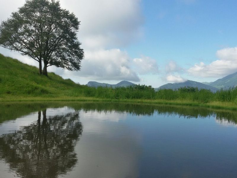
Pozza di Malga Pravec
 Download KMZ
Protected Area(4.650,00 ha)

Lay-out of the itinerary

Departure

Arrival

Park Authority Offices

Visitor Centers (1)

Municipalities (5)

Points of Interest (10)

EV charge ≥100kW (286)


© 2024 - Parco Naturale Locale del Monte Baldo