Itineraries
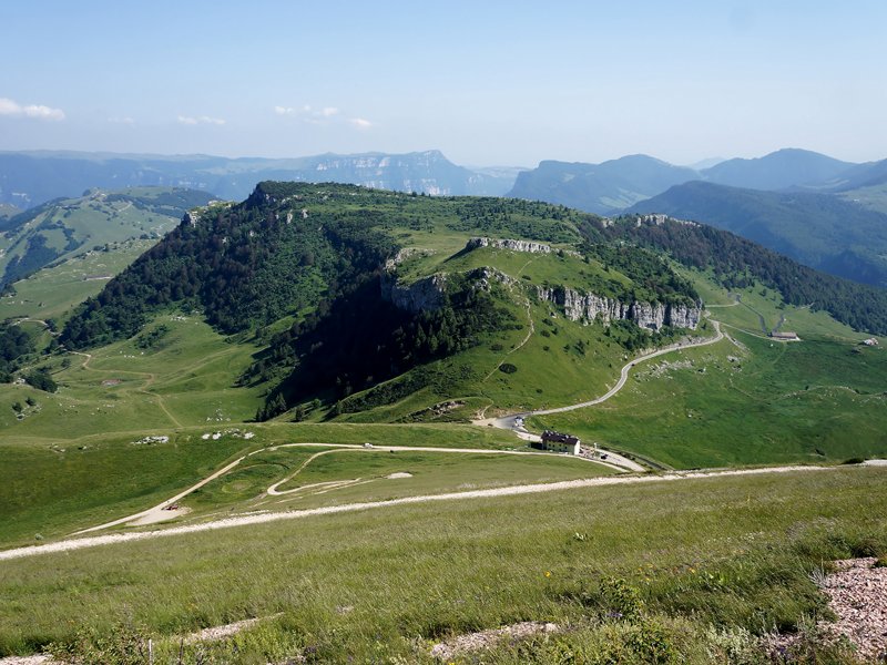
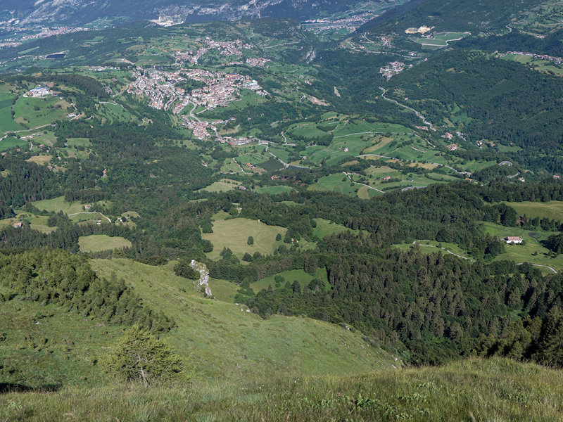
The Park's Trails
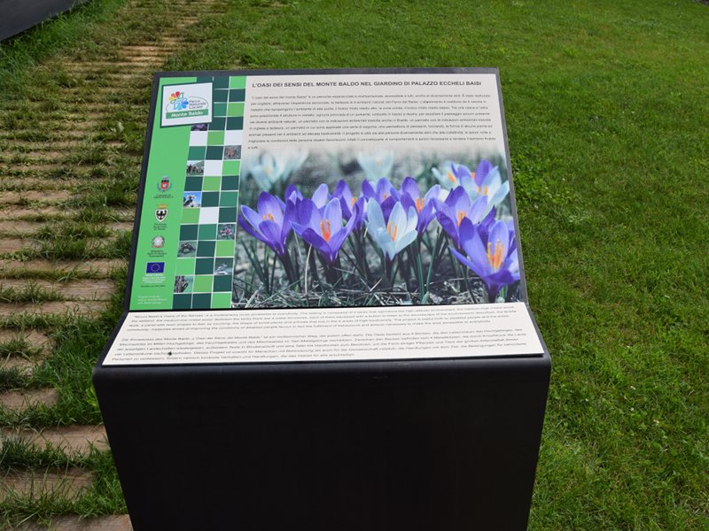
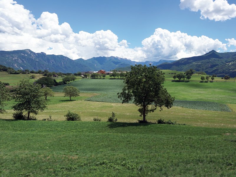
In the Monte Baldo local nature Park there are self-education routes which lead visitors to discover the protected areas. Explanatory panels describe the peculiarities and the curiosities useful to understand the importance of the site you are visiting.
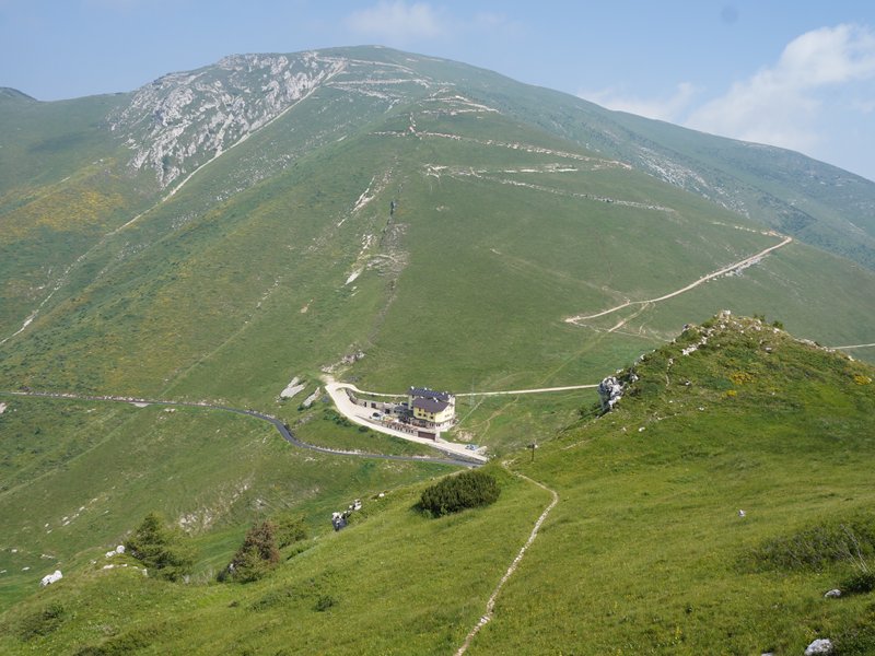
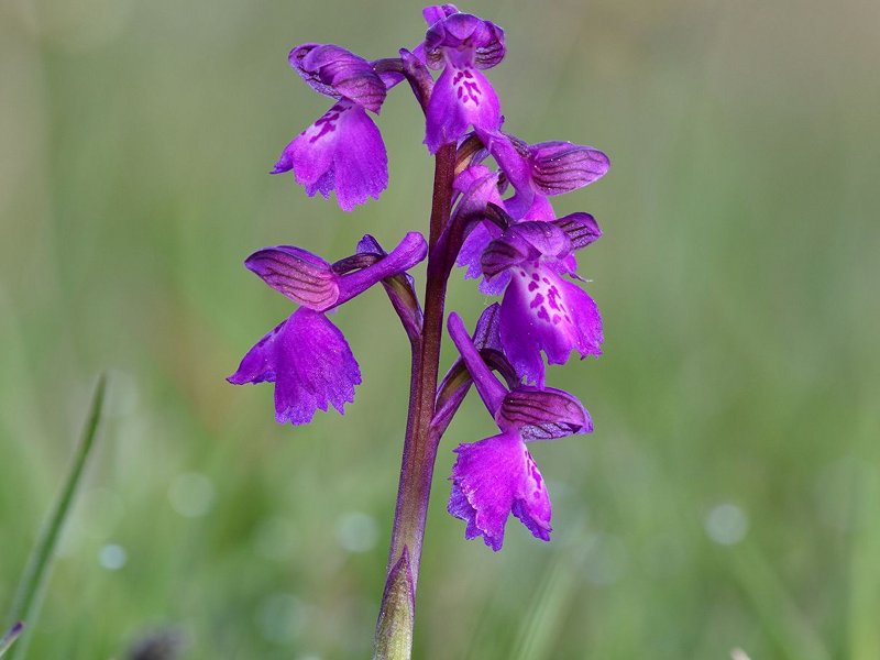

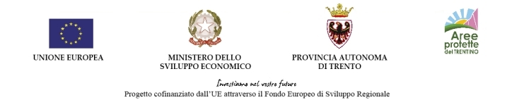
Trekking of Baldo's pastures and flowers
Trekking of Baldo's pastures and flowers consists in a great project of cultural enhancement of the mountain area. Its aim is introducing the environment of alpine prairies, pastures and alpine huts, which are environmental elements of great importance from the landscape, ecology and economy points of view. It also aims at raising awareness of the unique heritage of plants and flowers which makes Mount Baldo renowned. The Trekking activity therefore promotes a responsible tourism focused on the peculiarities of the territory and respectful of its vulnerabilities.
Further information
Project co-financed by the EU through the E.R.D.F. call for tender.