

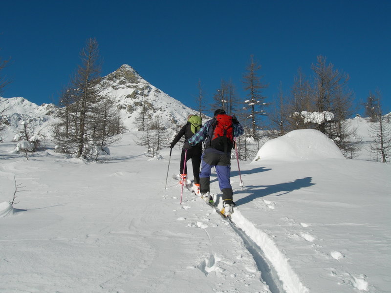
Itineraries
Visitors are asked to follow the network of trails (art. 3 of the Park regulation). The itineraries are marked by official yellow signs with black writings of Regione Autonoma Valle d'Aosta. At the panoramic points there are illustrated panels providing topographical and naturalistic information (reading panels of the landscape and panels "Life-Natura").
Moreover, numerous small explanation placards are displayed along the three guided itineraries, for which specific illustrated brochures can be bought in the Park Offices.
Guided Trails
Champdepraz - Lac de Pana Guided Trail (trail marker 3-3c)
Departure: Champdepraz, località Lo Pian
Typology: On foot
Difficulty Level: E - Hiking (level)
Duration: 4.15 hours
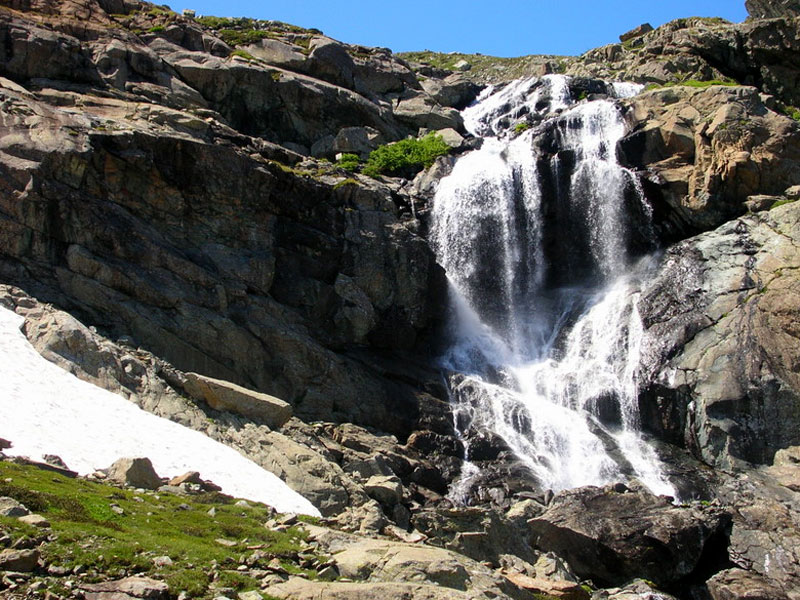
Interest: Flora, Panorama
Lichenological Trail (Champdepraz, trail marker 6-5c)
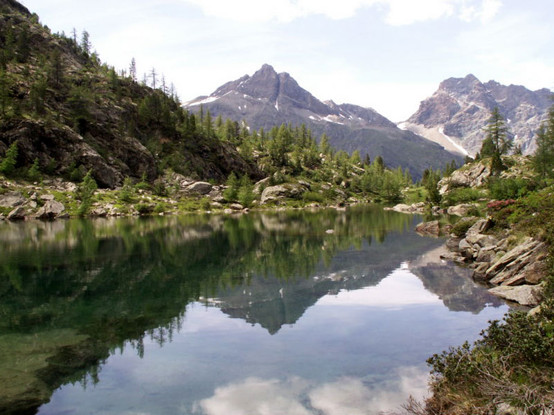
The itinerary develops along the route Magazzino - Lac Gelé - Gran Lac - Lac Blanc
Departure: Magazzino
Typology: On foot
Interest: Flora
Night Tour Veulla - Pont de Leser (Champdepraz, trail marker 5)
Night tour along the rural road leading from Veulla to Pont de Leser
Departure: Veulla
Typology: On foot
Difficulty Level: E - Hiking (level)
Duration: 2 h 30 m
Interest: Flora, Panorama
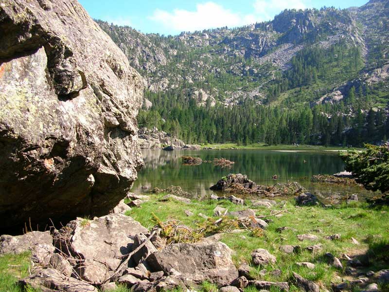
Veulla - Lac de Serva Guided Trail (trail marker 5c)
Departure: Chevrère
Typology: On foot
Duration: 2 h 30 m
Interest: Flora, Wildlife
Veulla - Mont Barbeston Guided Trail (trail marker 7b)
Departure: Chevrère
Typology: On foot
Duration: 4 h
Interest: Flora, Wildlife, Panorama
Tours
Alta Via no. 2 "naturalistic trail"
Hiking itinerary connecting Donnas with Courmayeur
Typology: On foot
Interest: Panorama
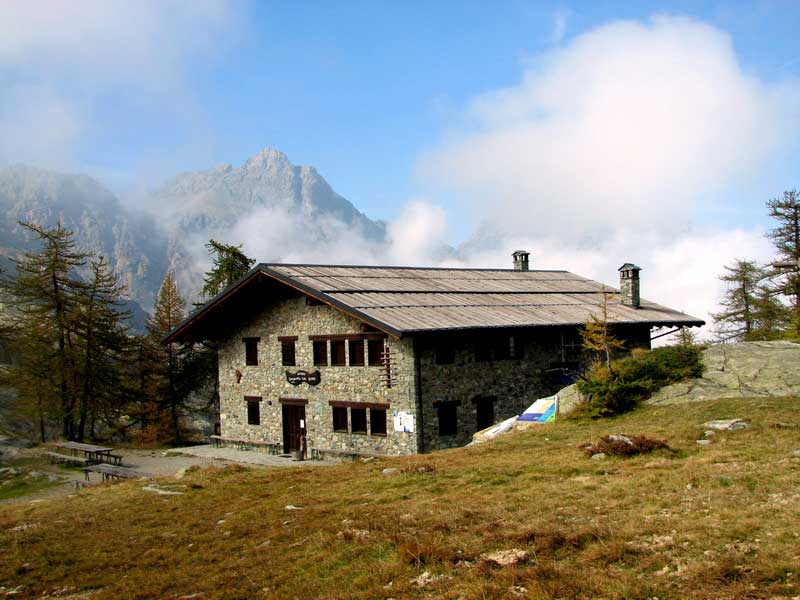
Chevrère - Barbustel Mountain Hut
Departure: Veulla
Typology: On foot
Difficulty Level: E - Hiking (level)
Duration: 3 h 30 m
Interest: Flora
Chevrère - Lac de Serva with Snow Rackets
Departure: Veulla
Typology: On foot
Duration: 2 h 30 m
Interest: Flora, Panorama
Chevrère - Lac Gelé
Departure: Veulla
Typology: On foot
Difficulty Level: E - Hiking (level)
Duration: 4 h
Interest: Flora, Wildlife, Panorama
Chevrère - Mont Avic
Departure: Veulla
Typology: On foot
Difficulty Level: EE - For expert hikers
Duration: 5 h
Interest: Panorama
Chevrère - Mont Barbeston (trail 8)
Departure: Barbustel
Typology: On foot
Difficulty Level: E - Hiking (level)
Duration: 4 h
Chevrère - Mont Barbeston Guided Trail (trail 7b)
Departure: Veulla
Typology: On foot
Difficulty Level: E - Hiking (level)
Duration: 4 h
Interest: Panorama
Connection Col Fussy-Col Medzove and vice-versa
Departure: Col Fussy
Typology: On foot
Difficulty Level: E - Hiking (level)
Duration: 1h - 1h and 15'
Interest: Flora, Wildlife, Panorama
Dondena - Col de la Balma
Departure: Dondena
Typology: On foot
Difficulty Level: E+ - Hiking (level)+
Duration: 3 h
Interest: Flora, Wildlife
Dondena - Col de Roèse di Bantse
Departure: Dondena
Typology: On foot
Difficulty Level: E+ - Hiking (level)+
Duration: 3 h
Interest: Flora, Panorama
Dondena - Col Fenêtre
Departure: Dondena
Typology: On foot
Difficulty Level: E - Hiking (level)
Duration: 2h and 45'
Interest: Flora, Wildlife, Panorama
Dondena - Col Fenêtre (trail 7b)
Departure: Dondena
Typology: On foot
Difficulty Level: E - Hiking (level)
Duration: 2h and 25'
Interest: Wildlife, Panorama, History
Dondena - Col Moussaillon
Departure: Dondena
Typology: On foot
Difficulty Level: E - Hiking (level)
Duration: 2 h 30 m
Interest: Wildlife, History
Dondena - Col Pontonet (trail 7c)
Departure: Dondena
Typology: On foot
Difficulty Level: E - Hiking (level)
Duration: 2.30h - 3h
Interest: Flora, Wildlife
Dondena - Col Pontonet (trail 8)
Departure: Dondena
Typology: On foot
Difficulty Level: E - Hiking (level)
Duration: 2.30h - 3h
Interest: Wildlife
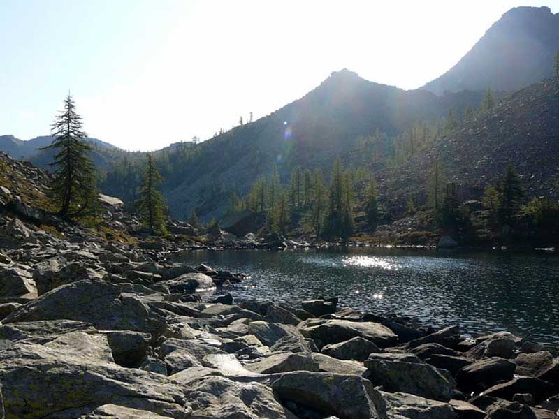
Dondena - Lac Miserin
Departure: Dondena
Typology: On foot
Difficulty Level: T - Tourist (level)
Duration: 1h and 45'
Interest: Panorama
Tour of Champdepraz Lakes
Champdepraz, trail marker 5c-6 / Veulla - Lac de Servaz - Lac Blanc - Gran Lac - Lac Gelé - Veulla
Typology: On foot
Typology: On foot


© 2024 - Ente Parco Naturale Mont Avic