


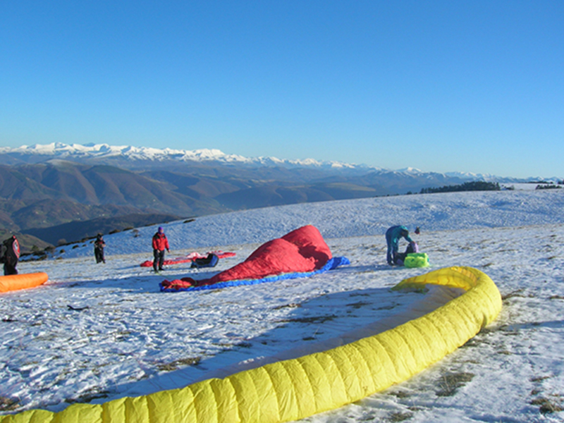
Eastern take-off area - 1,220 m above sea level
- Trail Conditions: Paragliding
It is the second take-off area one meets climbing towards the summit of the Mount Subasio from Assisi. It is 5 km far from the Carceri Hermitage, on the left side along the dirt road near a pedestrian lane along the fence.
You can leave your car along the roadside, cross the pedestrian lane and walk for 200 in a northeastern direction along the slope. You will find a windsock marking the take-off area.
From this point it is better to take-off with the wind coming from East or North-East, but be careful when you are downstream because the wind could be stronger than during the taking-off. Furthermore, the wind could cause some turbulences during the landing and become stronger because of the Venturi effect.
Rivotorto landing area - 210 m above sea level
(GPS COORDINATES: LAT. 43,047157 N – LON. 12,615473 E)
Official landing area and meeting point of the pilots members of the Ali Subasio Club, where you will find a notice board providing all the information about the club and the flying area.
The landing area has a surface of 1 hectare, it allows comfortable landings even if visitors had better pay attention to the (signaled) high voltage cables near the pitch neighboring the landing area, and to the trees representing the boundaries of the landing area itself, which can create a small turbulence in case of strong wind.
HOW TO REACH THE AREA
By way of the E45 road (direction Perugia – Foligno, Foligno – Perugia) exit in Rivotorto and reach the village's center. By the sanctuary turn right in the Via della Regola di San Francesco, the landing area is situated along the street about 200 m on the right side.
North landing area - 510 m above sea level
(GPS COORDINATES: LAT. 43,089194 N – LON. 12,656646 E)
This landing area is used when flying with the wind having a north-east direction, and due to its morphological conditions it is necessary to be very careful about the possible turbulences. Furthermore, the club has very good relationships with the owners of the neighboring and surrounding lands, also thanks to the fact that the pilots respect the plantations very much. We therefore request pilots to be very careful during the landing.
HOW TO REACH THE AREA
Going towards Assisi take the state street SS 444 linking Assisi with Gualdo Tadino. After about 3 km by the crossroads where some holiday farms are situated, turn right and go on for about 1 km until you reach the ruins of a building lying on the right side of the road. After about 200 km you will find the landing area marked by a small windsock.
Further information (Italian text)
 Download KMZ


