

Itineraries
The Park Itineraries
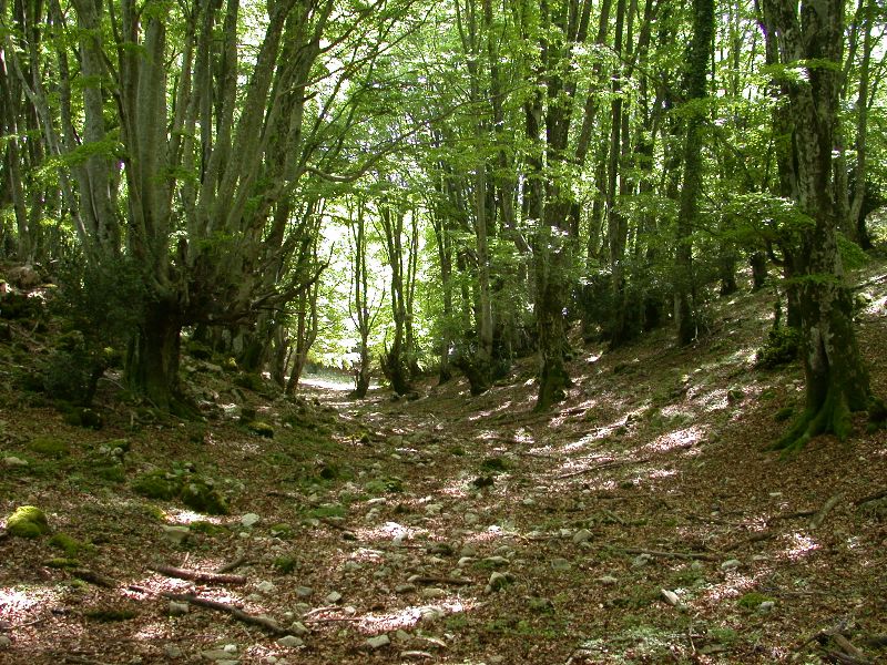
The Park network extends for about 200 km and reaches all the sites of greatest interest in the protected area. The paths are marked with white and red signs and, where necessary, with directional arrows showing, in addition to the numbering of the path and the location to be reached, an estimate of the travel times.
Further information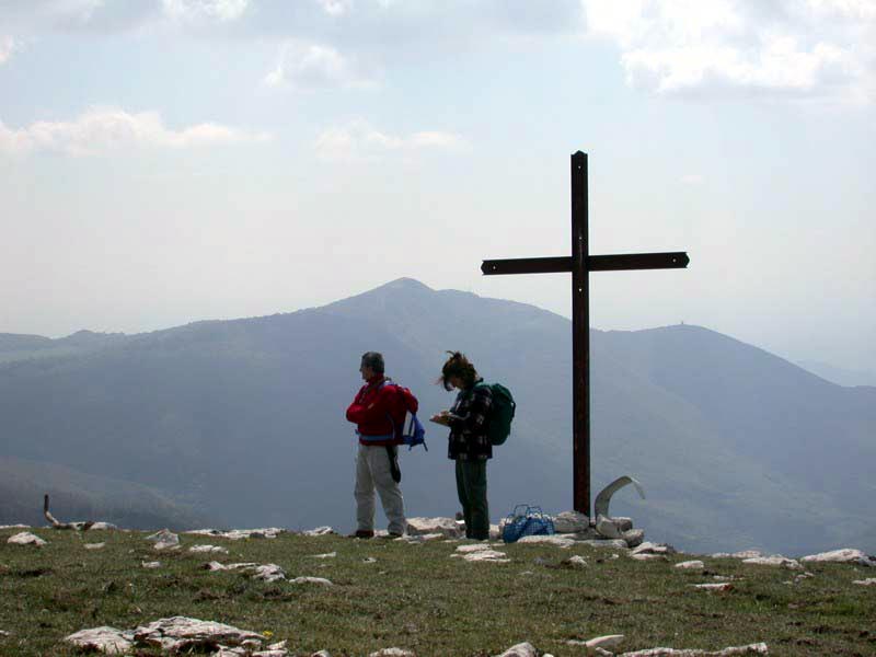
Map with georeferenced itinerary
Typology: On foot
Duration: 2 h 40 m
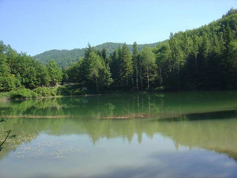
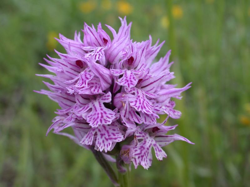
Interest: Flora, Geology, History
Map with georeferenced itinerary
Typology: On foot
Difficulty Level: T - Tourist (level)
Duration: 2 h
Interest: Panorama, History
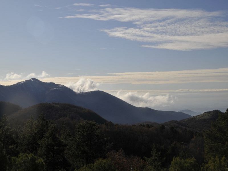
Mt. Pellecchia Ridge
The long ridge of the highest summit of Lucretili Mountains
Departure: Borgo di Monteflavio
Map with georeferenced itinerary
Typology: On foot
Difficulty Level: T - Tourist (level)
Duration: 5 h 30 m
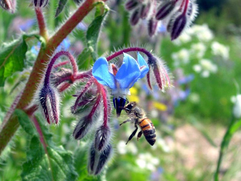
Interest: Wildlife, Geology, Panorama, History

Map with georeferenced itinerary
Typology: On foot
Difficulty Level: E - Hiking (level)
Duration: 4 h 30 m
Interest: Flora, Wildlife, Archeology, History
Palombara - Mt. Gennaro
Enchanting panoramas of the Roman countryside and the Apennines
Departure: Palombara Sabina, Convento di San Nicola
Map with georeferenced itinerary
Typology: On foot
Difficulty Level: T - Tourist (level)
Duration: 4 h
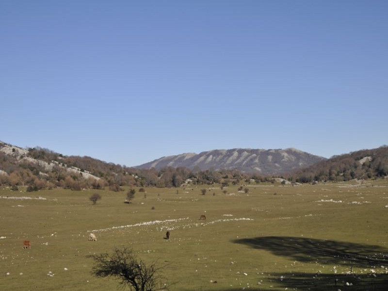
Interest: Wildlife, Panorama, History
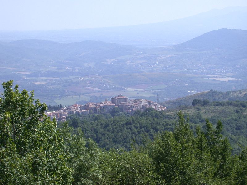
San Nicola - Castiglione - Palombara Sabina
Departure: Palombara Sabina - Convento di San Nicola
Map with georeferenced itinerary
Typology: On foot
Duration: 3 h
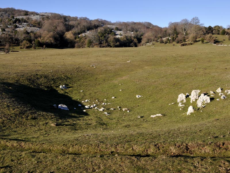
Interest: Flora, Panorama, Archeology, History
Map with georeferenced itinerary
Typology: On foot
Difficulty Level: E - Hiking (level)
Duration: 4 h 30 m
Interest: Flora, Geology, Panorama, History
Villa di Orazio - Ninfeo degli Orsini - Northern Slope of Colle Rotondo – Crossroads Fosso Vena Scritta
Departure: Licenza, area archeologica Villa di Orazio
Map with georeferenced itinerary
Typology: On foot
Difficulty Level: E - Hiking (level)
Duration: 4 h
Interest: Flora, Wildlife, Panorama
Valle Cavalera - Pratone Fosso Vena Scritta - Poggio Runci
One of the most interesting itineraries in Lucretili Mountains
Typology: On foot
Difficulty Level: E - Hiking (level)
Duration: 6 h 30 m
Interest: Flora, Geology, Panorama, History
The San Benedetto Path
Map with georeferenced itinerary
Typology: On foot
Map with georeferenced itinerary
Typology: On foot


© 2024 - Ente Parco Naturale Regionale dei Monti Lucretili