

Scandriglia - Mt. Serrapopolo
Landscape characterized by gentle hills
- Trail Conditions: On foot
- Interest: Flora, Geology, Panorama, Hystory
- Departure: Scandriglia
- Arrival: Monte Serrapopolo
- Duration: 4 hour/s 30 minutes
- Difficulty Level: E - Hiking (level)
- Difference in height: 700m
- Minimum Altitude: 530m
- Maximum Altitude: 1,150m
We are in the north-western section of Lucretili Mountains, where the landscape is mainly characterized by gentle hills and constantly steep slopes characterized by the geometry of the olive groves suddenly interrupted in the east by a morphological discontinuity represented by such a sharp mountain folding that it has been called Mt. Serrapopolo. The itinerary has an intermediate difficulty level, a little orienteering effort will give us the opportunity to cross the three wooded small valleys interposing themselves and block the view of the constant climbing path along the ridge Mt. Percalli-Mt. Serrapopolo.
Further information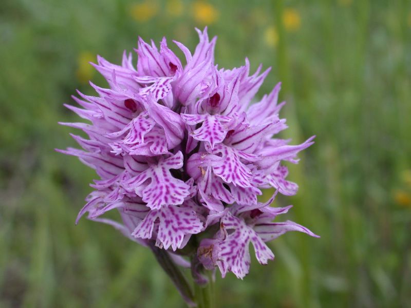
Orchid
 Download KMZ
Books and Guides
Price: free

Protected Area(18.204,00 ha)

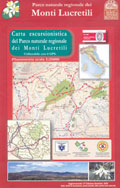
Lay-out of the itinerary

Departure

Arrival

Park Authority Offices (2)

Visitor Centers (2)

Municipalities (13)

Photos (15)

Videos (11)

EV charge ≥100kW (286)


© 2024 - Ente Parco Naturale Regionale dei Monti Lucretili