

Protected Area
Identity Card
- Monti Lucretili Nature Park:
- Land Surface Area: 18'204.00 ha
- Regions: Lazio
- Provinces: Rieti, Roma
- Municipalities: Licenza, Marcellina, Monteflavio, Montorio Romano, Moricone, Orvinio, Palombara Sabina, Percile, Poggio Moiano, Roccagiovine, San Polo dei Cavalieri, Scandriglia, Vicovaro
- Establishment Measures: LR 41 26/06/1989 - LR 15 26/5/1994 - LR 29 6/10/1997
- PA Official List: EUAP0190
- Park Authority: Ente Parco Naturale Regionale dei Monti Lucretili
- Further managed Protected Areas:
- Parco Naturale Regionale Inviolata
- Zona di Protezione Speciale Monti Lucretili
- Zona Speciale di Conservazione Monte Gennaro (versante sud ovest)
- Zona Speciale di Conservazione Monte Pellecchia
- Zona Speciale di Conservazione Torrente Licenza ed affluenti
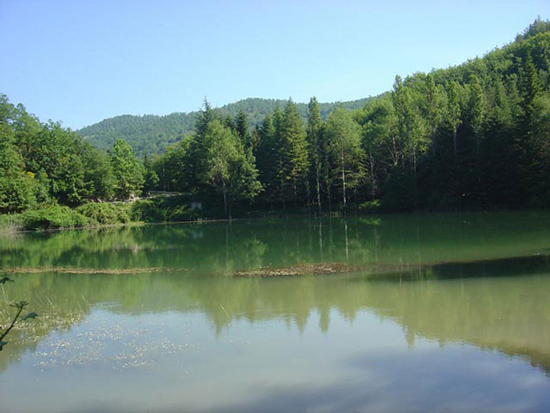
Monti Lucretili Regional Park
The naturalistic richness of the Park lies in the particular configuration of the pre-Apennine landscape, where the proximity to the sea has contributed to the formation and coexistence of biotopes determined by different microclimates, the latter given to different exposures and influenced by the variation of the circulation of the air masses within the mountain group.
The imposing aspect of the mountains dominating the Roman Countryside, Sabina, and Tiburtino countryside clashes with the inland landscape characterized by series of not very high mountains alternating with karstic plateaus and grazing lands, interrupted by the ridge of Mt. Pellecchia, and differentiating from the harsher and cliff-like aspects of the south-eastern field of Licenza area.
Further information (Italian text)
Geology
The stratigraphic series of Lucretili Mountains is mainly made of sedimentary formations of marine origins and environment, which began settling about 200 million years ago in the ancient Mesozoic ocean, Thetys.
Further information (Italian text)

Morphological Aspects
The territory of Lucretili Mountains is strongly influenced by their
geological and structural history which originated a geographically
well-defined mountain group.
The orography of the area respects the
general Apennine ranging with a north-south axis and represents a
territory consisting of three main mountain folding separated more or
less sharply by fault systems on which torrential engravings can be
found.
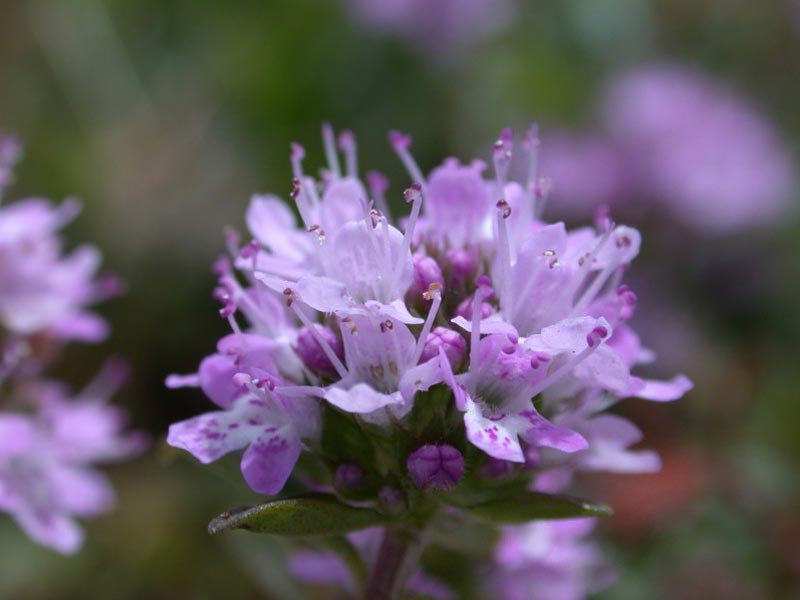
Flora
The current vegetation features on Lucretili Mountains derive from a wavering series of events produced by a human action leading to the change of the original aspects.
Further information (Italian text)
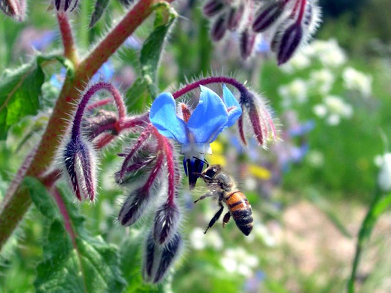
Fauna
Like the vegetable landscape, also the fauna has considerably suffered the human presence, both through hunting and millenary transformation activities involving the environment.
Despite it, the protected area preserves elements of great interest in its several environments.
Further information (Italian text)
Environments
The different environmental typologies present in the Park are the result of the climatic complexity that characterizes this portion of the Lazio territory located at the center of 4 different climatic zones:
- W Oceanic sub-Atlantic
- E Eastern Balkan Sub-continental
- N European microthermal
- S thermo-xerophytic
The climate is the ecological factor that most influences the distribution of living organisms. In particular, plant formations, such as the various types of woods, spots and grasslands, are positioned along altitudinal bands that vary according to latitude and exposure.
Further information (Italian text)


