Itinerary 661
Cervara - Prataglia - Cervara
- Trail Conditions: On foot
- Interest: Panorama, Hystory
- Departure: Morra Coreara (1,110m)
- Duration: 4 hour/s
- Difficulty Level: E - Hiking (level)
- Length: 10.7 km
- Difference in height: Uphill 400m - Downhill 390m
- Minimum Altitude: 866m
- Maximum Altitude: 1,180m
- Localities Crossed: Cervara - Prataglia
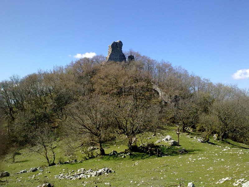
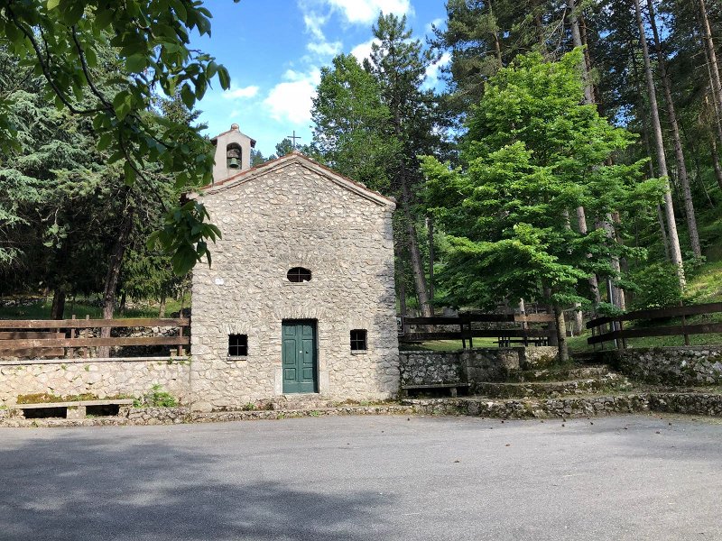
From Cervara di Roma take the road to Campaegli until you reach a hairpin bend where a dirt road begins. Follow it until you reach the hostel in Prataglia. After leaving the mountain hut on the right, go ahead along the not always well-visible trail that will briefly lead to a crossroads with trails SC and 652. Continue for about 1.5 km in direction north-west, leaving Coleman Trail on the right. From here you can head to La Prugna ruins. At the junction, go down south-east and cross a non-perennial ditch. Head to Fonte Martino passing behind the houses of loc. Aprugno, turn left until you reach another junction. Continue along the mountainside, always climbing, until you return to the carriage road to Prataglia. In a short time, you will return to the departure point.
Further information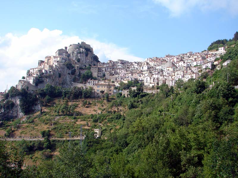
 Download KMZ
 Download in GPX format