

Route FR 2
Frassati Path: Filettino - Monte Viglio - Monte Crepacuore - Campocatino
- Trail Conditions: On foot
- Interest: Panorama, Hystory
- Departure: Filettino
- Duration: 5.40 h
- Difficulty Level: EE - For expert hikers
- Length: 16.10 km
- Difference in height: Uphill 1,710m - Downhill 980m
This stage is dedicated to the Park's highest summit. One reaches Mount Viglio (2,156 m) and climbs down to the Femmina Morta mountain pass; crossing the Crepacuore Mount one reaches Campo Catino.
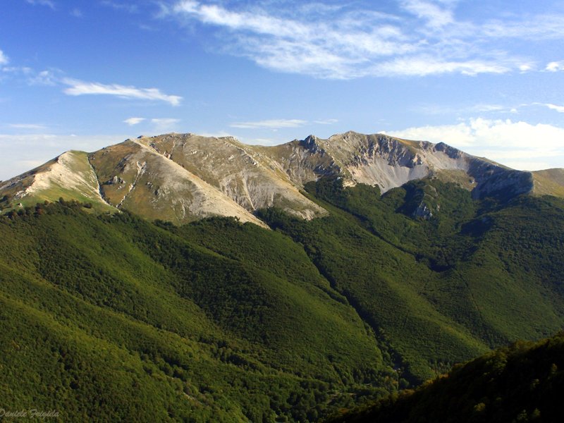
Route FR 2, Mt. Viglio
Points of Interest


© 2024 - Parco Naturale Regionale Monti Simbruini