

Route ST2
Tourist path: S.Scolastica - Laghetto di S. Benedetto
- Trail Conditions: On foot
- Interest: Flora, Panorama
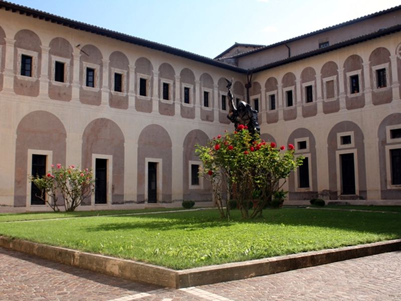
- Departure: Parcheggio di S.Scolastica
- Arrival: Laghetto di S. Benedetto
- Duration: 40 minutes
- Difficulty Level: T - Tourist (level)
- Length: 1.900 km
- Difference in height: Uphill 43m - Downhill 133m
- Minimum Altitude: 436m
- Maximum Altitude: 548m
Short but pleasant walk overlooking the Aniene Valley, with departure from the San Michele Arcangelo small church near the parking area of S. Scolastica and arrival to the amazing S. Benedetto small lake.
Further information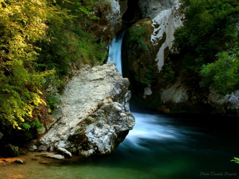
Route ST2, Lake of St. Benedict
 Download KMZ
 Download in GPX format
Points of Interest
Books and Guides

Protected Area(29.990,00 ha)

Lay-out of the itinerary

Departure

Arrival

Park Authority Offices

Visitor Centers (9)

Where to Sleep* (1)

Municipalities (8)

Points of Interest (78)

Photos (153)

Videos (21)

Pic-Nic Area (36)

EV charge ≥100kW (286)

E-Bike charging (9)

Airports (1)

Highway exits (1)
*: only Operators with Accommodation Page


© 2024 - Parco Naturale Regionale Monti Simbruini