

Itinerary 663
Campaegli-Valle della Lepre-Vallone-Tre Confini-Campaegli (Ring-route)
- Trail Conditions: On foot
- Interest: Flora, Wildlife
- Departure: Campaegli
- Duration: 3 hour/s 20 minutes
- Difficulty Level: E - Hiking (level)
- Length: 10.2 km
- Difference in height: Uphill 300m - Downhill 250m
- Minimum Altitude: 1,361m
- Maximum Altitude: 1,497m
Ring-route with departure from Campaegli car park near the drinking trough. Follow the asphalt road for about 200m. Turn right on the dirt road running along Monte Castell'Amato and entering Valle della Lepre. At the entrance of the woodland, turn left until you meet a clear sheep track. From here the path coincides with paths 653 and 673c: going southwards, slightly climb to Boccette dei Tre Confini. Go ahead across the meadow and take a dirt road near a small drinking trough. Ignore the two roads on the left and go ahead until you reach a small pass and a large clearing. Leave the dirt road keeping the right along the mountainside, then cross the woodland again and return to the carp park (departure point).
Further information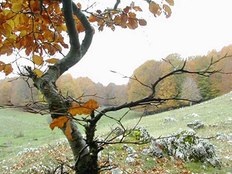
Itinerary 663
 Download KMZ
 Download in GPX format
Books and Guides


Protected Area(29.990,00 ha)

Lay-out of the itinerary

Departure - Arrival

Park Authority Offices

Visitor Centers (9)

Where to Sleep* (1)

Municipalities (8)

Points of Interest (78)

Photos (153)

Videos (21)

Pic-Nic Area (36)

EV charge ≥100kW (286)

E-Bike charging (9)

Airports (1)

Highway exits (1)
*: only Operators with Accommodation Page


© 2024 - Parco Naturale Regionale Monti Simbruini