Itinerary 673a
Campo dell'Osso - Le Genzane - Campobuffone - Valle Maiura - Campo dell'Osso (ring-route)
- Trail Conditions: On foot
- Interest: Flora, Wildlife
- Departure: Campo dell'Osso (1,544m)
- Arrival: Campo dell'Osso (1,544m)
- Duration: 3 hour/s 10 minutes
- Difficulty Level: E - Hiking (level)
- Length: 8.7 km
- Difference in height: Uphill 241m - Downhill 233m
- Minimum Altitude: 1,461m
- Maximum Altitude: 1,597m
Pleasant and short ring-route among the beech tree woodlands and the karstic plateaus surrounding Campo dell'Osso. From Campo dell'Osso square, take the left branch of the cross-country skiing track. Follow it and enter the woodland, until the end of the slight uphill path. Turn left, going ahead in the beech tree woodland, until you reach a small ridge. Follow it and you will get to Pecore Pass. Go down on the right in direction of the large Campobuffone grassland. Take a carriage road coming from Campaegli and, after a few hundred meters, you will find another road, looking like a sheep track, coming from the right. Take this one. The uphill path crossing the wonderful Valle Matura is a narrow grassland among the beech tree woodlands of the surrounding mountains. After a bend on the right, you will find some tracks climbing south-west. Once you get to the top of the small summit, you will meet again the cross-country skiing track leading you back to Campo dell'Osso departure point.
Further information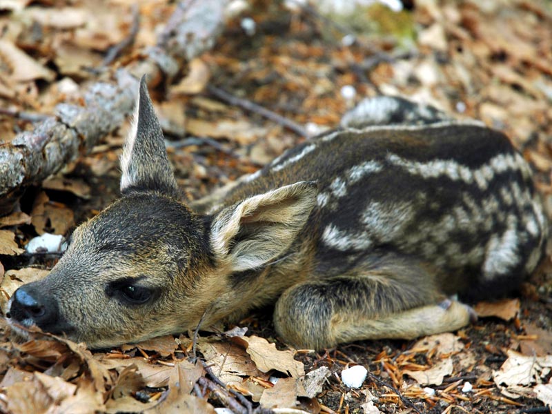
 Download KMZ
 Download in GPX format