Itinerary 673c
Campo dell'Osso-Campominio -Vallone di Monte Autore-Camposecco-Tre Confini-Valle Maiura-Campo dell'Osso (ring-route)
- Trail Conditions: On foot
- Interest: Panorama
- Departure: Campo dell'Osso (1,590m)
- Arrival: Campo dell'Osso
- Duration: 4 hour/s 50 minutes
- Difficulty Level: E - Hiking (level)
- Length: 16.8 km
- Difference in height: Uphill 610m - Downhill 610m
- Minimum Altitude: 1,317m
- Maximum Altitude: 1,749m
Ring-route, a bit long but without great difference in height. It crosses some of the most charming places of Monti Simbruini Park, characterized by grassy pastures and beech tree woodlands, until you reach the huge karstic plateau of Camposecco. Go beyond Campo dell'Osso square and go ahead along an asphalt road until you reach a large bend on the right. Once you reach the large square where the asphalt ends, go down along a country road on the right until you reach the skilift departure point. Follow the valley bottom. Go down on the right along a well-marked trail crossing the cool and long Valle di Monte Autore. Go beyond a few junctions, always staying in the middle of the valley. The path becomes a sheep track and then a carriage road before leaving the beech tree woodland. You are in the large Camposecco plateau. Turn left. Well-visible sheep tracks will lead you back to the woodland. Climb along the valley following the easy mule track. You will go out of the woodland near two big rocks. You are at Tre Confini crossroads. Follow the tracks on the left and, after a few hundred meters, at the junction take the slightly uphill sheep track. Here you begin to walk in the wonderful Valle Matura. You will reach Campo dell'Osso.
Further information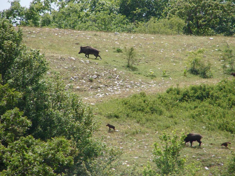
 Download KMZ
 Download in GPX format