Itinerary 682
Fondi-Colubretta-Campitelli-Pozzo della Creta Rossa-Pozzo della Neve-Fondi (ring-route)
- Trail Conditions: On foot
- Interest: Flora, Geology
- Departure: Fondi di Jenne
- Arrival: Fondi
- Duration: 2 hour/s 30 minutes
- Difficulty Level: E - Hiking (level)
- Length: 7.1 km
- Difference in height: Uphill 291m - Downhill 284m
- Minimum Altitude: 1,374m
- Maximum Altitude: 1,514m
Ring-route leaving from Jenne-Livata carriage road, in loc. Pozzo della Creta Rossa. You will find a drinking trough (Colubro Nuovo) and the path coming from Jenne (681A): turn right and follow the road for a few meters. You will leave it soon for the path with ups and downs. On the right, you will see the abandoned mountain hut of Fondi. From here, cross the meadow of Fondi, staying under the carriage road. Once you enter the woodland, you will reach the same road and follow it up to a junction where you will find an accessible trail for blind people. After leaving the carriage road, follow Colle della Colubretta ridge. You will shortly reach the clearing of Campitelli, facing Valle del Sinbrivio, with panorama over Valle Pietra and Faito plateau. Head towards the valley and take a path that will lead you to cross again Jenne-Livata road and then to the departure point.
Further information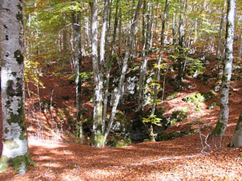
 Download KMZ
 Download in GPX format