

Itinerary 673e
Campo dell'Osso - Prato Lungo - Fonte delle Vaglie
- Trail Conditions: On foot
- Interest: Flora, Panorama
- Departure: Campo dell'Osso (1,590m)
- Arrival: Fonte delle Vaglie
- Duration: 1 hour/s 30 minutes
- Difficulty Level: E - Hiking (level)
- Length: 5.2 km
- Difference in height: Uphill 464m - Downhill 84m
- Minimum Altitude: 1,176m
- Maximum Altitude: 1,572m
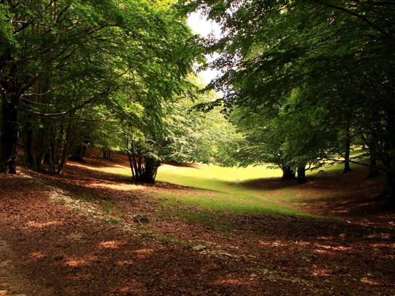
Beech forest at Campo dell'Osso
 Download KMZ
 Download in GPX format
Books and Guides

Protected Area(29.990,00 ha)

Lay-out of the itinerary

Departure

Arrival

Park Authority Offices

Visitor Centers (9)

Where to Sleep* (1)

Municipalities (8)

Points of Interest (78)

Photos (153)

Videos (21)

Pic-Nic Area (36)

EV charge ≥100kW (286)

E-Bike charging (9)

Airports (1)

Highway exits (1)
*: only Operators with Accommodation Page


© 2024 - Parco Naturale Regionale Monti Simbruini