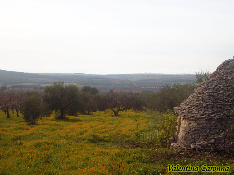
Itineraries
Six Itineraries by the Park
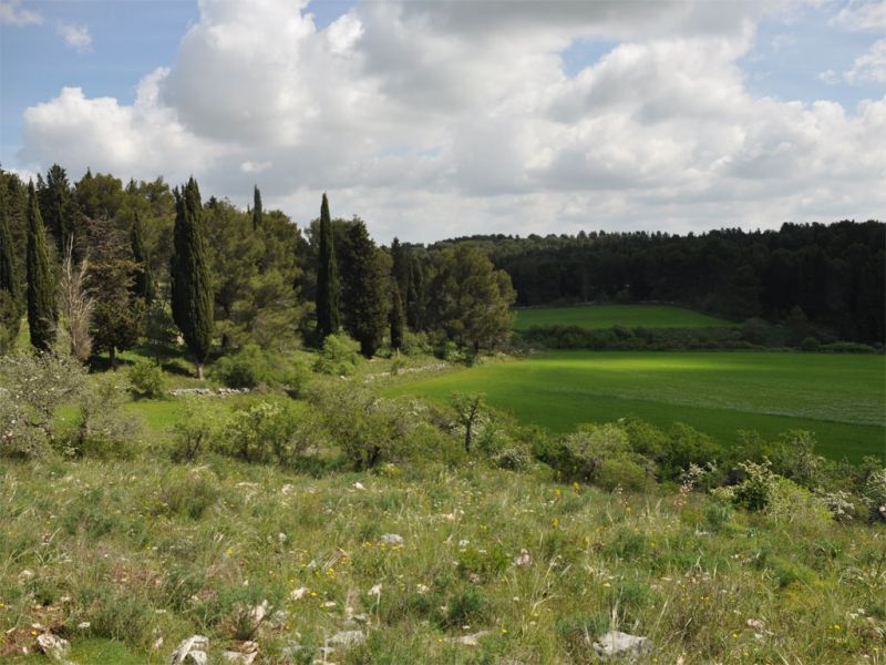
Itineraries addressed to anyone who would like to discover the territory. They do not require specific skills, since they are characterized by long distances that can be traveled over by means of transport.
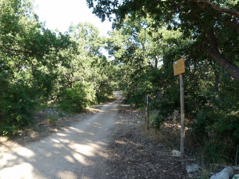
Cycle way Jazzo Rosso - San Magno - Castel del Monte
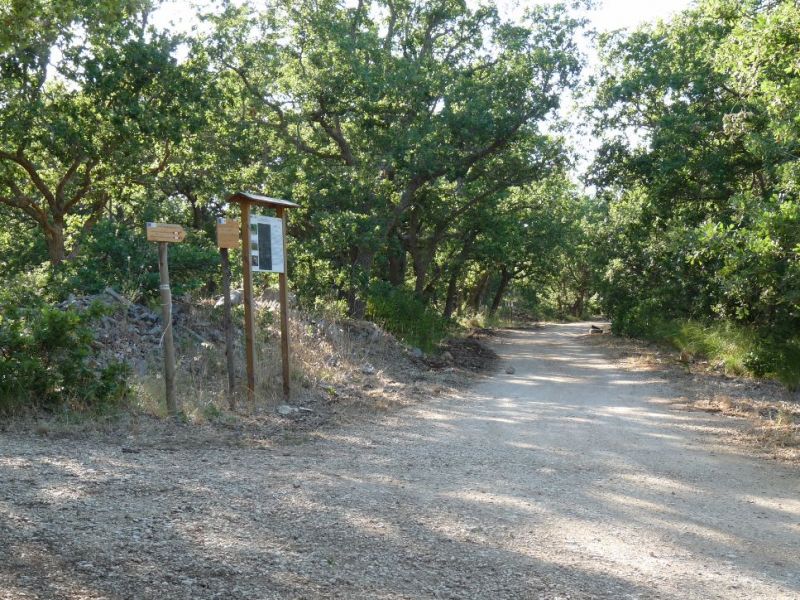
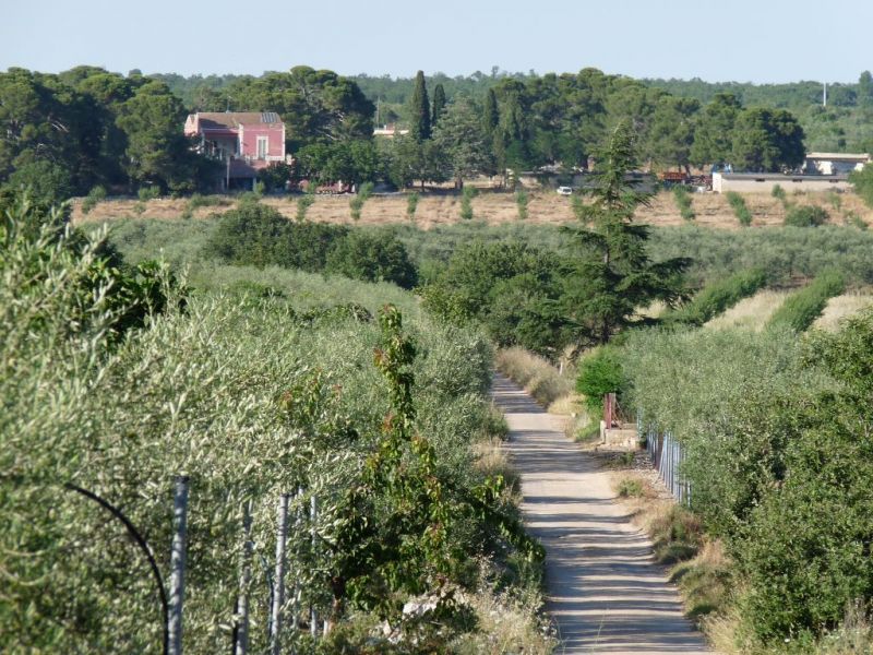
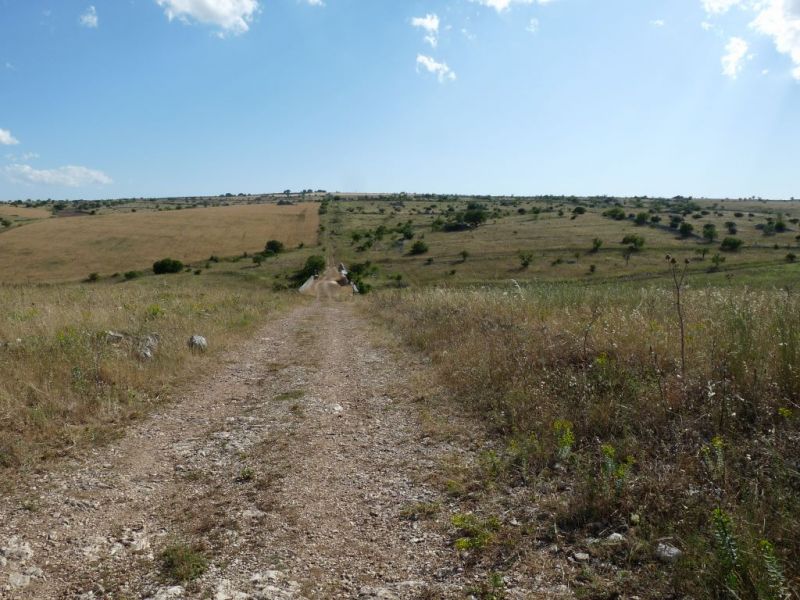
The cycle-pedestrian route "Jazzo Rosso - San Magno - Castel del Monte", with a total length of about 65 km, is marked by the alphanumeric code C01AM (Ciclovia 01 Alta Murgia) and consists of seven itineraries shown below.
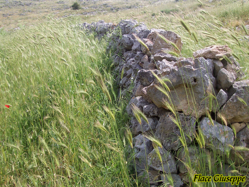
All the itineraries are multifunctional, in fact they can meet the needs of different types of users connected with nature tourism. Due to its features, the whole network can be covered by mountain bike. Some of the trails can be also covered on foot and with tourism bicycles. In particular, the two trails leading to Ruvo di Puglia and Corato include some asphalted road stretches along the not very busy streets. Therefore, these stretches can be covered with any kind of bicycle. Other stretches include dirt roads that can be easily covered on foot or on horseback.
For further information: ciclovie.parcoaltamurgia.it