


Itineraries
Note: the classification according to the features of each trail (T,E,E+) respects the national CAI classification adapted to the reality of the Apennines.
- T : hikes lasting no more than 3-4 hours walk and differences in height within the 500m, well-marked trails, usually on carriage roads or narrow roads
- T+ : with the same walking time and difference in height, but also a few obstacles more, fords, narrow trails or steep stretches
- E : hikes lasting between the 4 and 6 hours walk with differences in height between the 500 and the 900m on the marked trails with steep slopes or easy fords
- E+ : hikes that for length, difference in height or greater difficulties (steep stretches or not very visible tracks, fords, a few equipped walls, etc.), but always along marked trails, are recommended to more trained hikers.
- The most difficult or equipped trails like vie ferrate are not included (EE and EEA).
- The numbered trail markers, if no otherwise specified, are white-red (CAI national standard).
- GPS coordinates are in ED50, UTM zone 32T.
- The hikes marked with * are characterized by some stretches with not sufficient or lacking trail markers
For Everyone
On Foot
Hiking Itineraries
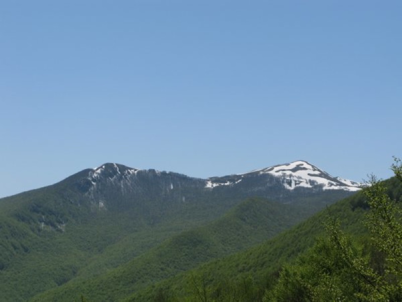
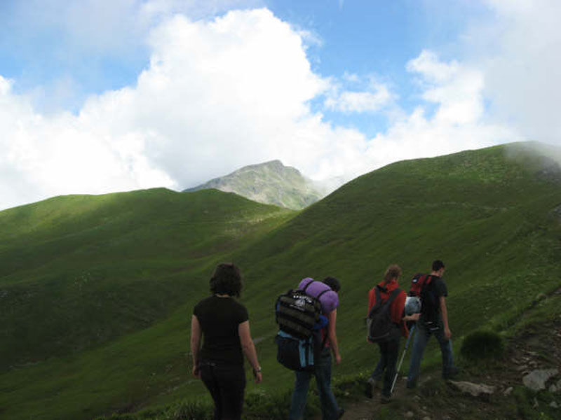
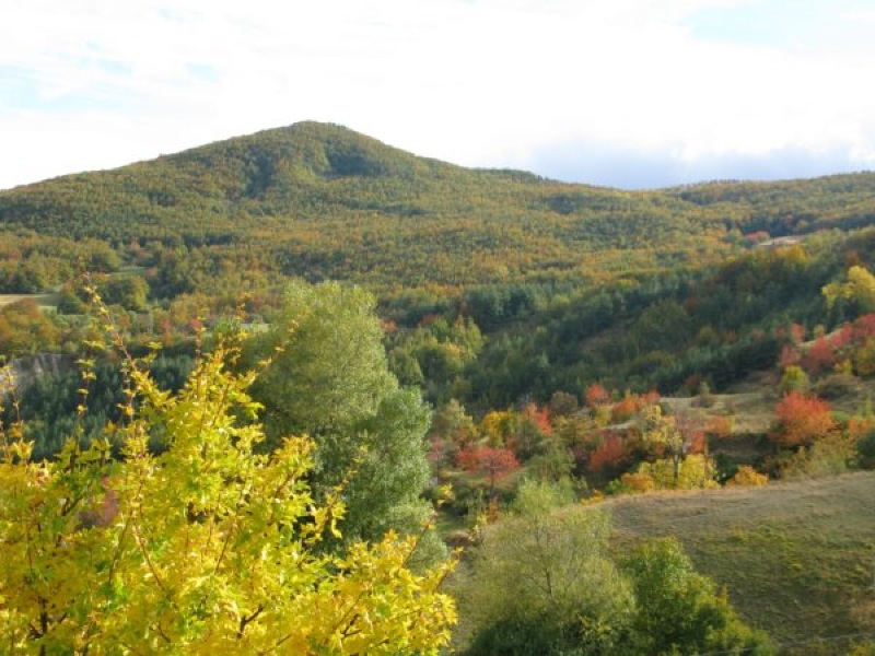
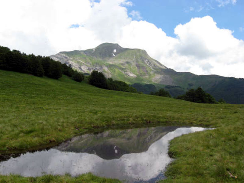
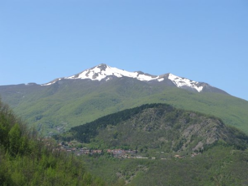
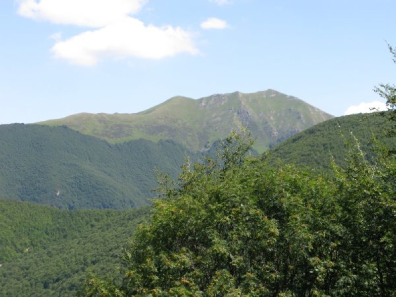
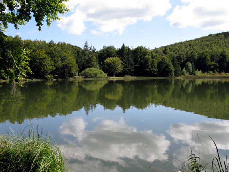
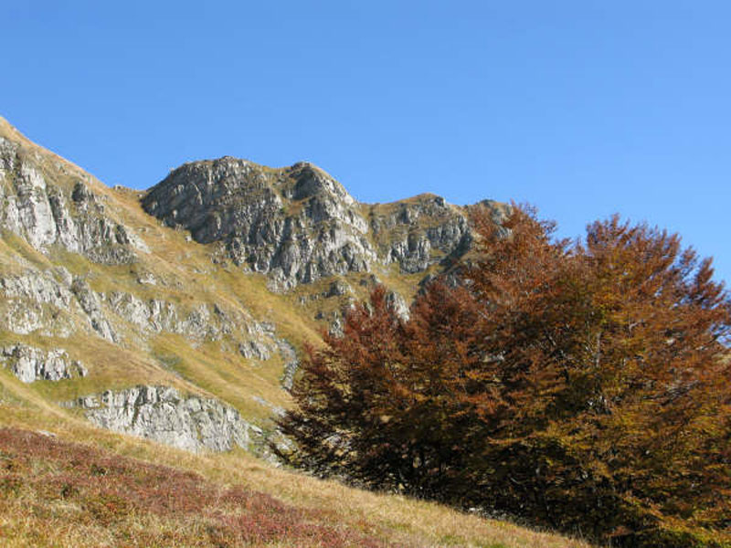
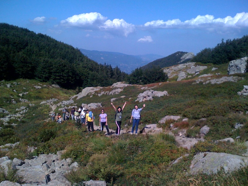
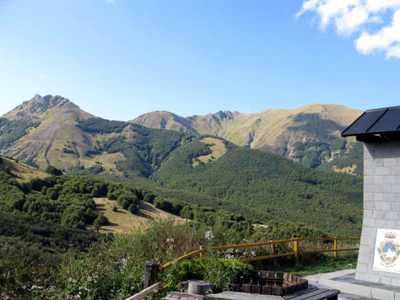
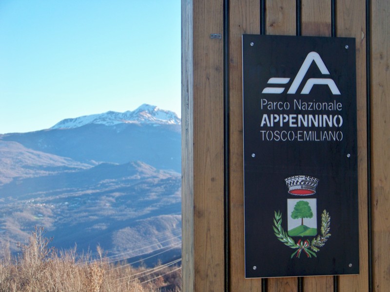
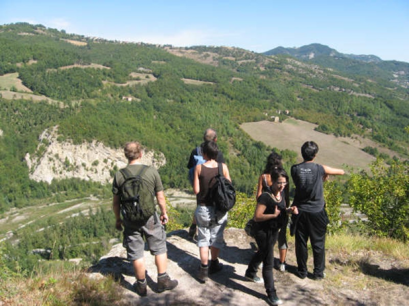
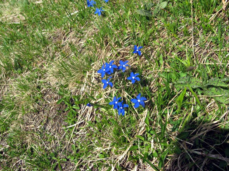
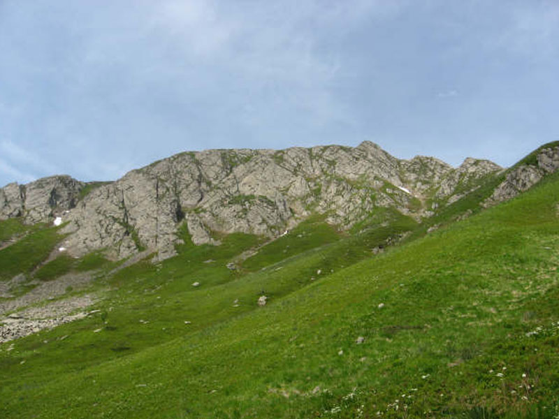
The ridge of the Apennines and the Park territory represent an ideal destination for you, if you love hiking and trekking. There are several itineraries with features and difficulty levels that adapt to the needs and abilities of everyone.
The following itinerary selection, by Daniele Canossini (CAI Reggio Emilia), is divided according to the geographical areas of the Park, represents only a little, but significant part of the opportunities this territory offers to hikers.
Zone A - Orecchiella and Upper Garfagnana
Municipalities of S. Romano, Villa Collemandina, and Giuncugnano.
Further information
Zone D - Upper Val Secchia and Val Rosaro
Municipalities of Collagna, Fivizzano, and Comano.
Further information
Zone E - Upper Val d'Enza and Val Taverone
Municipalities of Ramiseto, Monchio, Comano, and Licciana.
Further information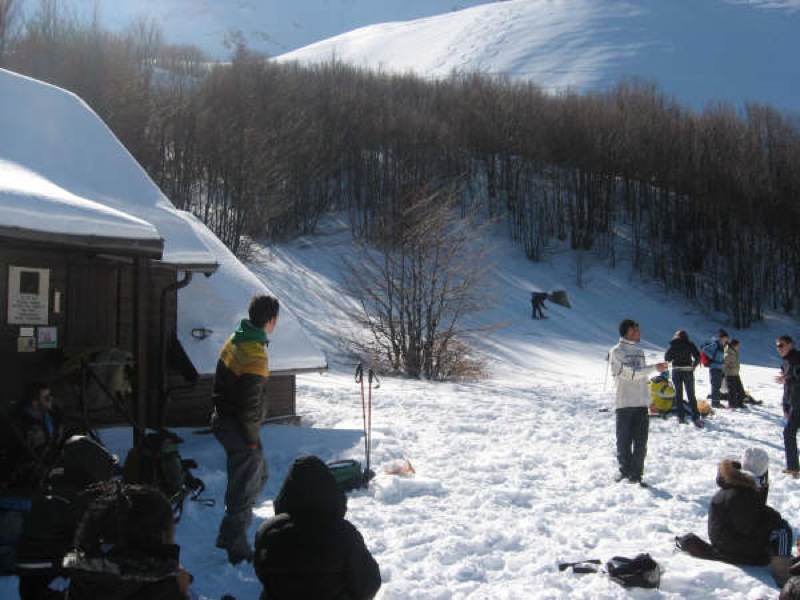
Zone F - Upper Val Parma, Val Cedra, and Upper Lunigiana
Municipalities of Corniglio, Monchio, Filattiera, Bagnone.
Further information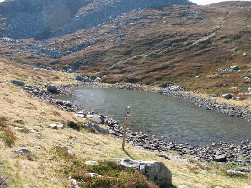
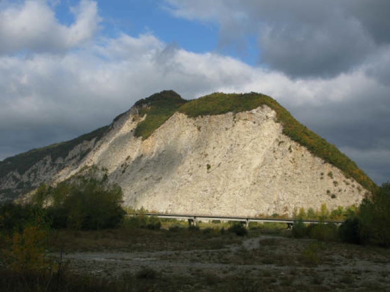
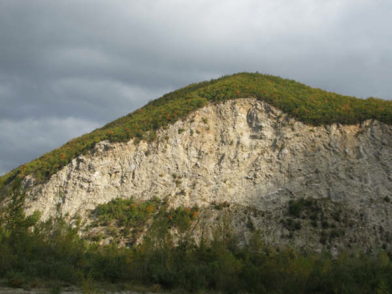
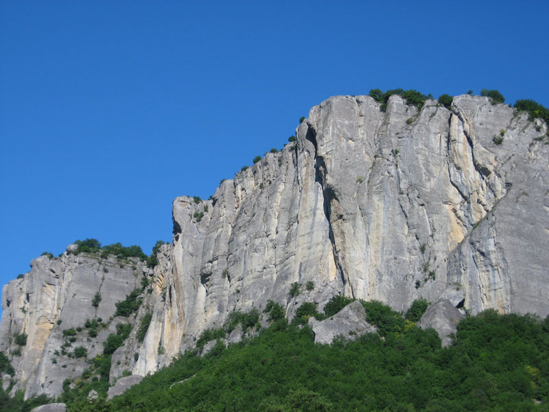
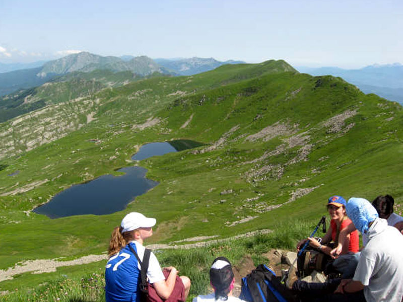
Zone G - Bismantova, Triassic Gypsum Formations, and Mt. Ventasso
Municipalities of Castelnovo Monti, Busana, Ramiseto, and Villa Minozzo.
Further information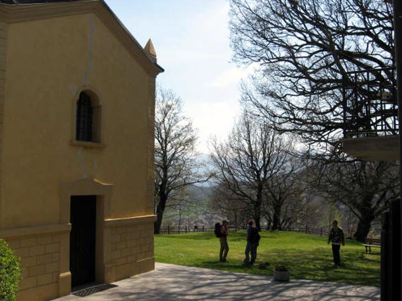
Traverses
Crossing the Appennino Tosco-Emiliano
By Car
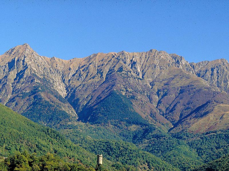
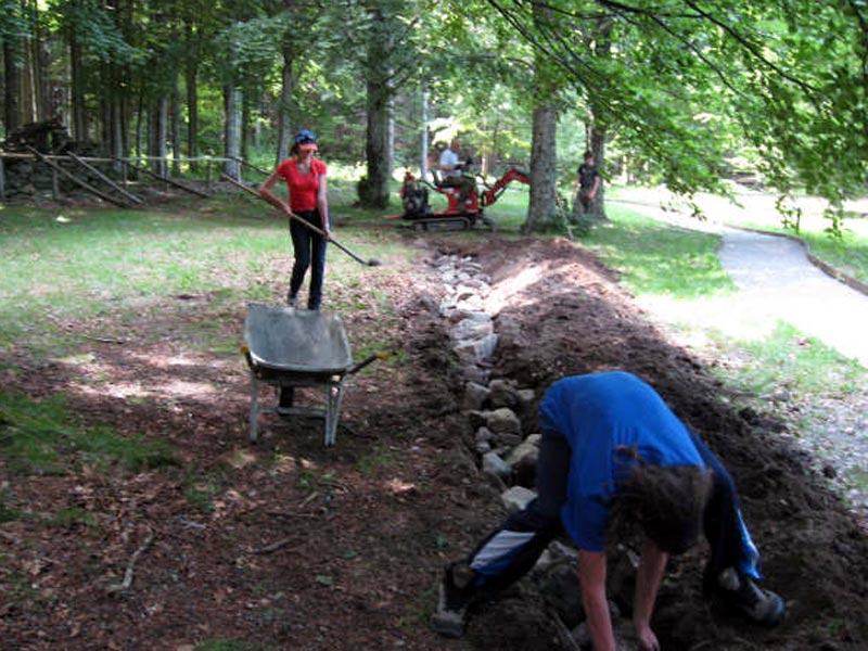
The roads of the Apennines represent a widespread road communication network giving the opportunity to go almost everywhere and maintaining intact the landscape authenticity created over the centuries by the interaction of human activities and nature.
Driving slowly along the road of the Apennines is an interesting and funny way to spend a different weekend rich in surprises.
The 6 historical passes, Cisa, Cirone, Lagastrello, Cerreto, Pradarena, and Radici/Forbici connecting Tuscany with Emilia Romagna are real landscape jewels: discovering them, stopping to admire a panorama or to drink at an ancient fountain or to have lunch in an inn offering authentic tastes is a great opportunity to recover our roots and also some peacefulness.
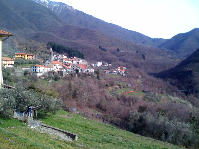
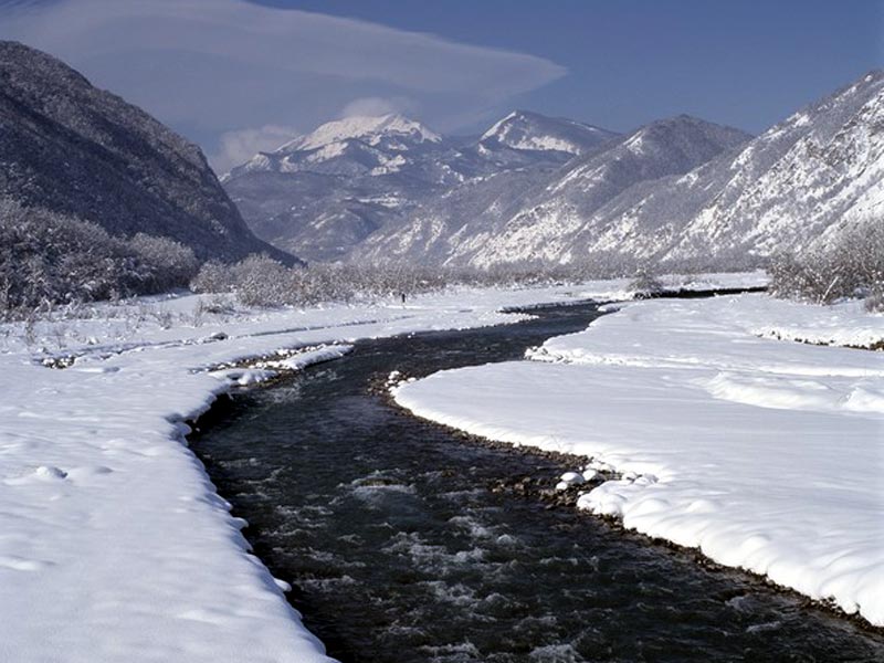
From Lunigiana to Parmense
The westernmost section of Appennino Tosco-Emiliano National Park faces four valleys: Val di Magra and Val di Taro towards Tuscany, Valle del Parma and Valle dell'Enza towards Emilia Romagna.
Further information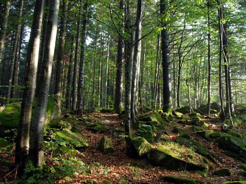
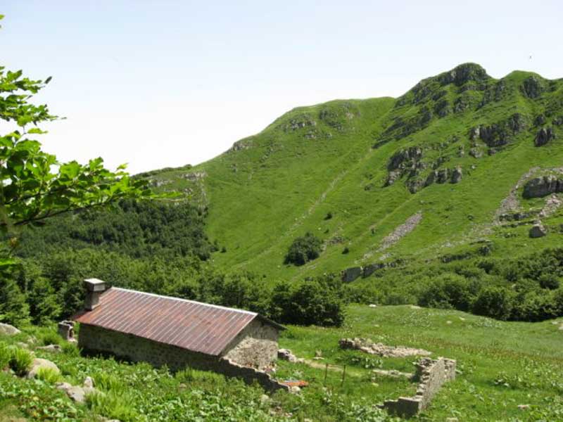
From Bismantova to Garfagnana
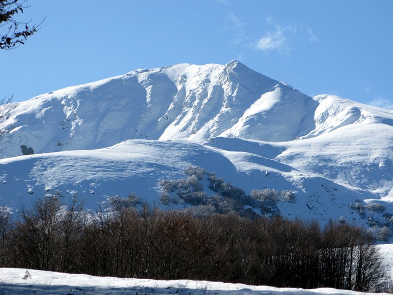
The pivot of this itinerary is Cerreto Pass, watershed between Valle del Secchia, which springs from the north-eastern slope of Mt. Alto, and Valle del Rosaro, springing from the Tuscan slope of the same mountain.
Further information
From Garfagnana to the Lands of Matilda from Canossa
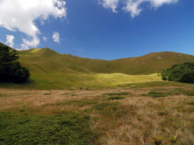
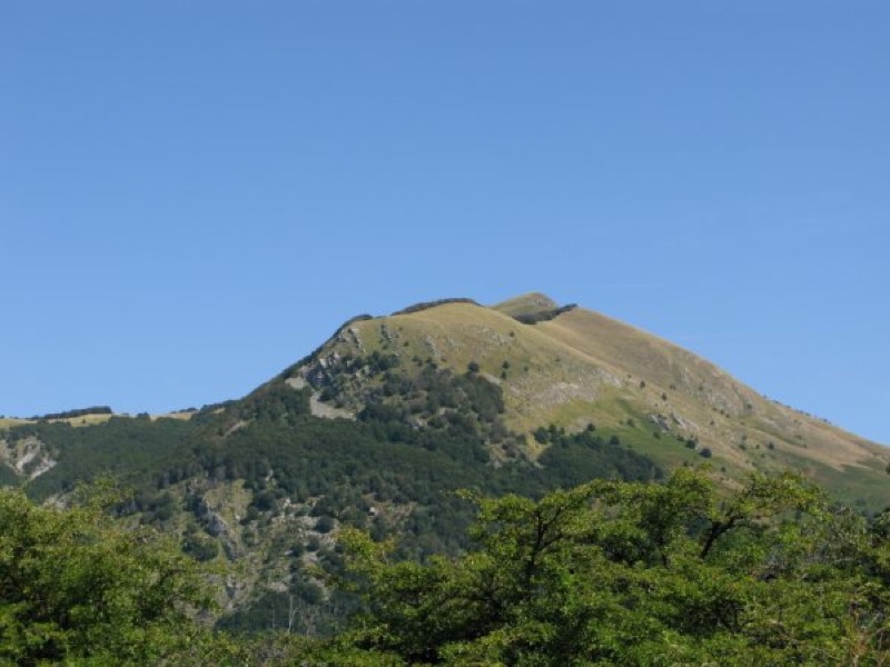
The following routes develop between Pradarena Pass and Radici Pass, where the highest summits of Appennino Tosco-Emiliano National Park lie: Mt. Prado and above all Mt. Cusna, delimiting a large uncontaminated natural area.
Further information
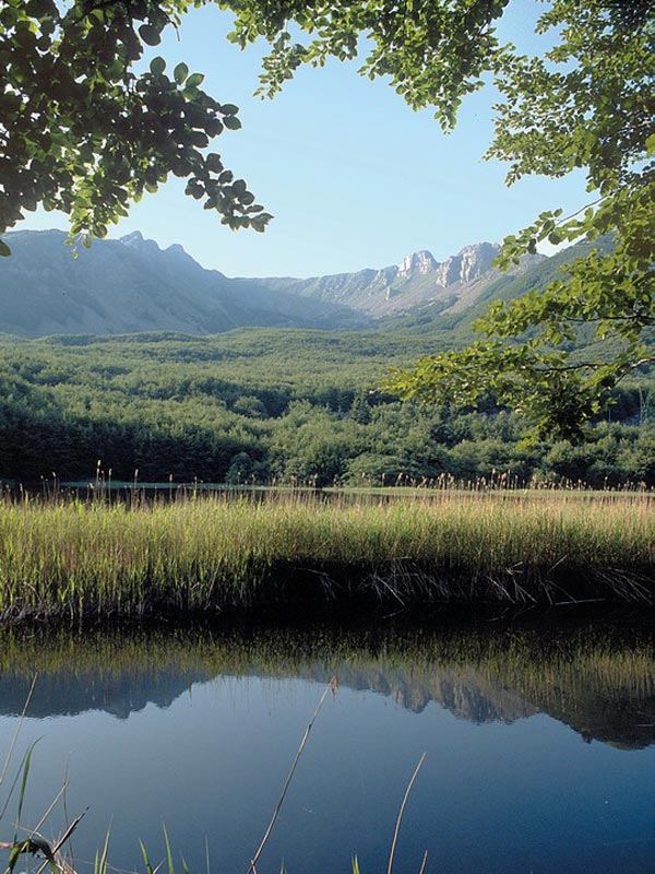
Season Itineraries
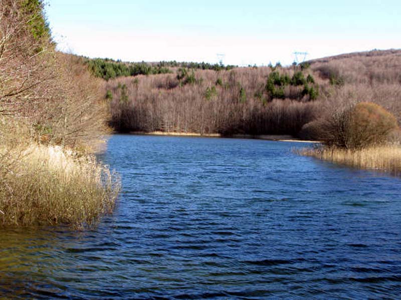
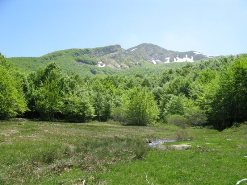
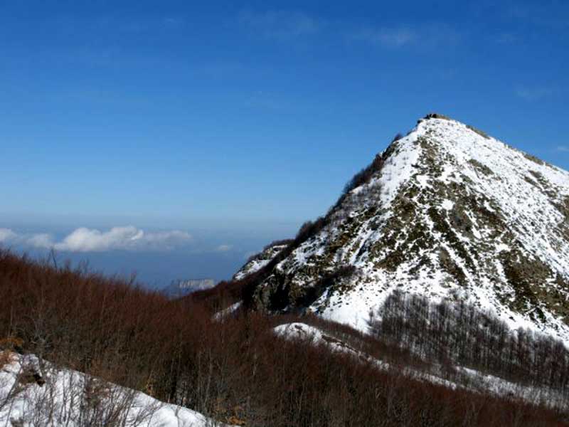
The opposite slopes of Appennino Tosco-Emiliano offer opportunities for everyone and in any season.
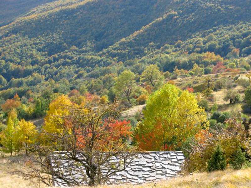
In summer and in winter the northern slope is the most interesting with its trails giving the opportunity to easily access the highest summits and with the snow staying longer on the ground; spring and autumn are the best moment for the southern slope: in March you can enjoy the warmth of the sun among the still bare chestnut trees and in autumn you can walk from a village to another enjoying the one thousand colors.
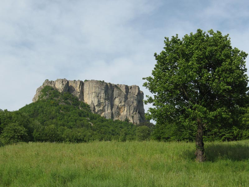
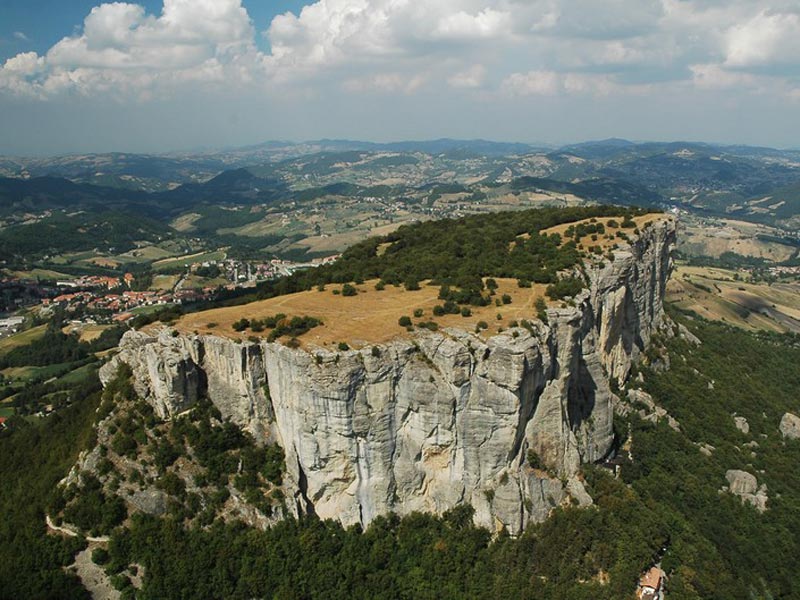
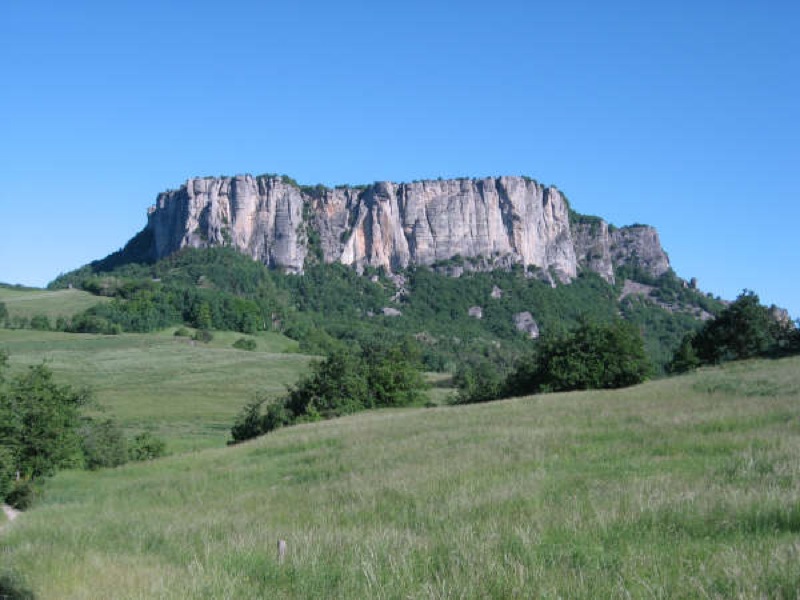
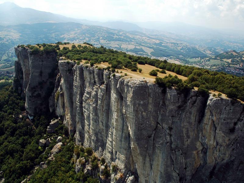
Itineraries of Pietra di Bismantova
Specific Community funds of the program Interreg IIIB CADSES (Central European, Adriatic, Danubian, South-Eastern, European Space) have enabled the collaboration of 7 different partners coming from Central-Eastern Europe for the implementation of a project called "SHINING Mountains", acronym of "Sport and Health as an Innovative Initiative for the Growth of Mountains".
The title already describes the main aim of the project, that is stimulating the endogenous potentialities of the mountain areas involved in order to promote a strategy of diversified economic development, re-launching the territories in the fields of sport, wellness, and health. Besides activities rearranging the rural tourist offer, there is the promotion of initiatives strengthening the managerial competence of the local actors operating in the tourist field, in order to create exchange opportunities as well as a complete and integrated offer.
The seven partners coming from 5 different countries of the European Union benefited from the project, experiencing stimulating moments of cultural exchange that have enriched the different and specific technical knowledge of all the participants.
 Download the brochure (PDF - 1.1Mb)
- Where to eat
- Where to sleep
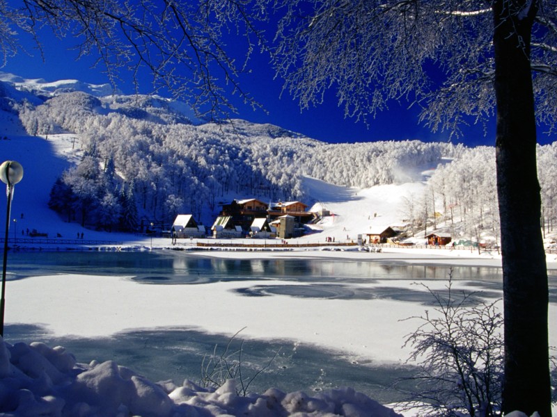
Ten Trails for Cerreto
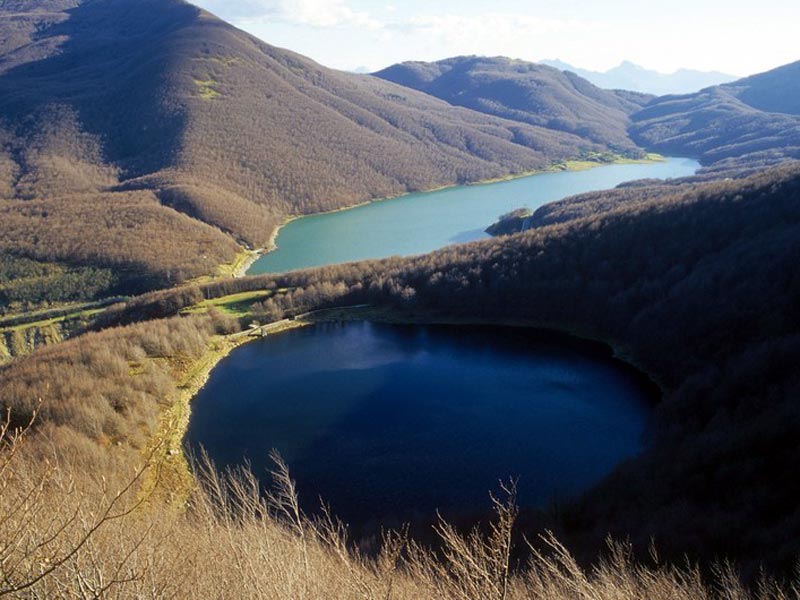
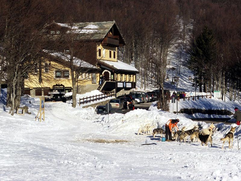
Between Tuscany and Emilia, at the border with Liguria, there is a mountain pass famous among the people of Emilia, Liguria, and Tuscany. Many people remember Cerreto Pass for the baptism of skis and the snow-clad tracks, but everyone knows that this ridge is rich in glacial lakes and breathtaking views showing, in the distance, the sea of Cinque Terre. Today Cerreto Laghi, one of the most equipped and modern ski resorts of northern-central Italy, reveals its secrets thanks to the commitment of the CAI section from La Spezia.
Further information
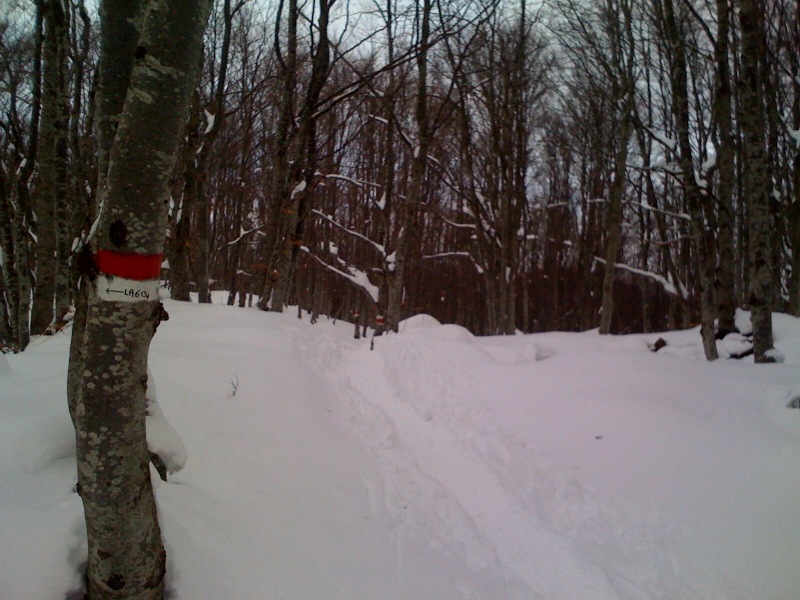
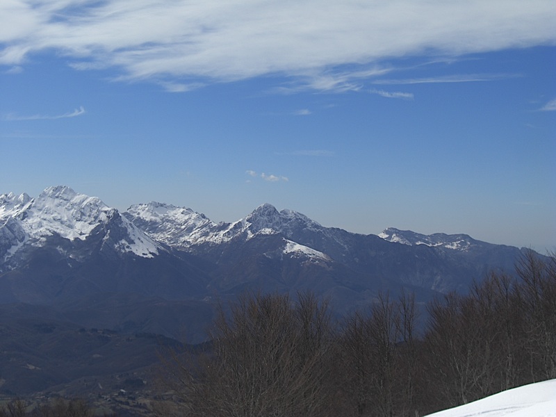
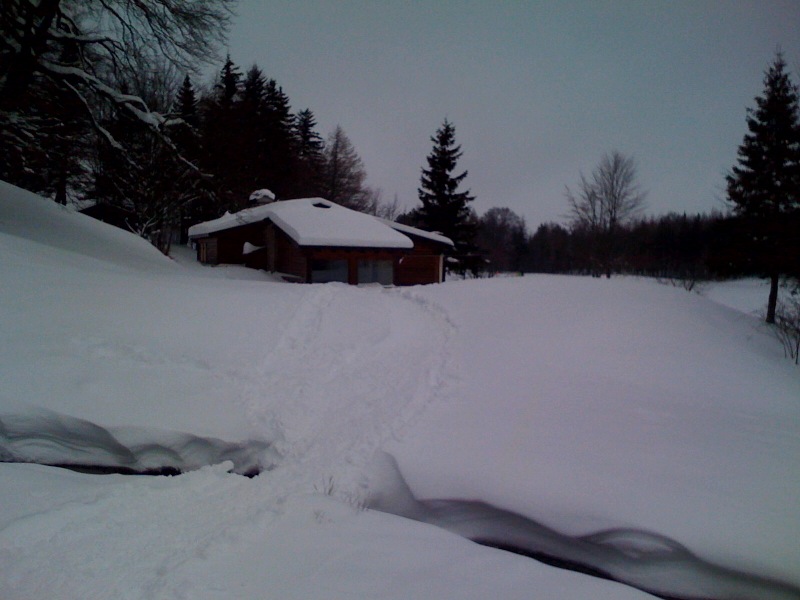
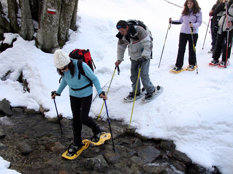
Snowshoeing
Trails on the snow in Appennino Tosco Emiliano National Park
The Alta Via dei Parchi
A long hike in the northern Apennines
The Alta Via dei Parchi is a 27 stages long itinerary to be walked along the Apennines between Emilia-Romagna, Tuscany and the Marches.
Via Francigena
From Lagoni to Monte Matto
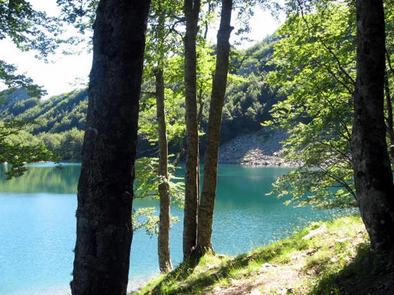
On the traces of the ancient glaciers
Geological and naturalistic itineraries in the high Parma Apennines.
Sentiero Italia


