


Mt. Tondo
- Trail Conditions: On foot
- Interest: Panorama, Hystory
- Departure: Ponteccio (980m)
- Arrival: Ponteccio (980m)
- Duration: 5 hour/s
- Difficulty Level: E - Hiking (level)
- Difference in height: 750m
- Maximum Altitude: 1,782m
- Recommended Period: from June to October
- Localities Crossed: Ponteccio - La Corona - M. Tondo - Ponteccio
Mt. Tondo divides the basins of Serchio and Magra, and Garfagnana from Lunigiana. You will climb along the panoramic trail to the grassy summit, whose name is already a description of it, and then you will go down passing through the town of Magliano.
Further information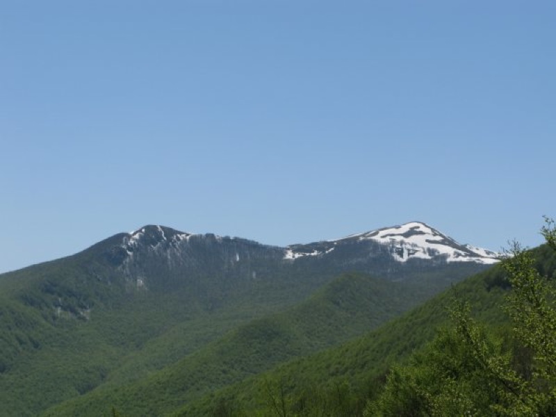
Mt. Tondo and, on the left, Mt. Posola
Books and Guides

Price: 12.00 €
Price: 18.00 €


© 2024 - Ente Parco Nazionale Appennino Tosco-Emiliano