


Mt. Cusna
- Trail Conditions: On foot
- Interest: Flora, Wildlife, Panorama
- Departure: Roncopianigi (1,093m)
- Arrival: Roncopianigi
- Duration: 5 hour/s 30 minutes
- Difficulty Level: E - Hiking (level)
- Difference in height: 1,100m
- Maximum Altitude: 2,120m
- Recommended Period: from June to October
- Localities Crossed: Peschiera Zamboni - M. Cusna - Passo Cisa - Peschiera Zamboni
You can climb to Mt. Cusna from different slopes. However, this is the most classical itinerary, from the north, where the flocks of Monteorsaro and Roncopianigi and the first "mountaineers" of the early 20th century used to climb from. From here, the 1,000m of difference in height command respect like the depressions of Rio Grande and the Arati, the slopes of the Borra and Mt. Contessa, with the "nose" of the Giant always high and imposing.
Further information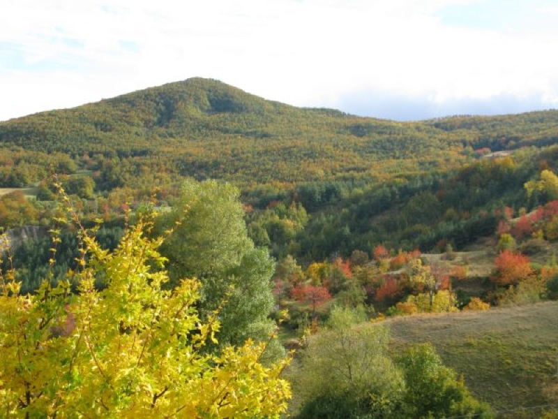
Val d'Asta in autumn with Mt. Contessa
Books and Guides
Price: 12.00 €
Price: 18.00 €


© 2024 - Ente Parco Nazionale Appennino Tosco-Emiliano