Upper Val d'Ozola
- Trail Conditions: On foot
- Interest: Panorama, Hystory
- Departure: Ligonchio (942m)
- Arrival: Ligonchio
- Duration: 8 hour/s 30 minutes
- Difficulty Level: E+ - Hiking (level)+
- Difference in height: 990m
- Maximum Altitude: 1,839m
- Recommended Period: from June to October
- Localities Crossed: Ligonchio - Tarlanda - Presa Alta - Passo Romecchio - rif. Bargetana - rif. Battisti - Veline - Lama Cavalli - Prati di Sara - Cascate Lavacchiello - Presa Alta - Presa Bassa - Ligonchio
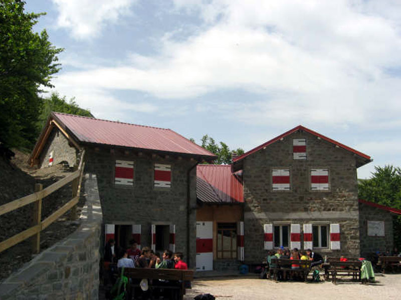
Double ring-route in Upper Val d'Ozola, separating the chain of Cusna from the ridge of the Apennines, in the heart of the National Park.
Ozola dugs a deep gorge between the stratified sandstone banks to get out from the upper valley and run across fields, woods, and villages until it meets the river Secchia. A gorge called "Gli Schiocchi", like the twins of Secchia and Riarbero, but deeper and more imposing, developing between high cliffs, where also the hydroelectric plants of the 1920s camouflage themselves and disappear in the great natural environment, despite years of work with thousands of workmen, a railway line, dozens of galleries and pipes... The most beautiful places include Romecchio Pass, Bargetana Lake, Passone, Prati di Sara, the gorge and waterfalls of Lavacchiello. If you spend the night in one of the mountain huts, you may also reach the summit of Mt. Prado. Or decide to divide the itinerary in shorter routes, reaching by car Presa Alta and then the highest summit.