


Mt. Orsaro
- Trail Conditions: On foot
- Interest: Geology, Panorama
- Departure: Lagdei (1,251m)
- Arrival: Lagdei (1,251m)
- Duration: 4 hour/s 30 minutes
- Difficulty Level: E - Hiking (level)
- Length: 650 km
- Maximum Altitude: 1,831m
- Recommended Period: from June to October
- Localities Crossed: Lagdei - Lago Santo - M. Orsaro - Lagdei
A classical destination for over a century in the area of Parma. Lago Santo, completed by the visit to the upstream glacial peat bogs and to the summit of Mt. Orsaro, an important mountain for its place name, is known for its important position from Cisa Pass, crossed throughout the centuries by half of the people in Europe. A journey among the geological and vegetation history of Upper Val Parma.
Further information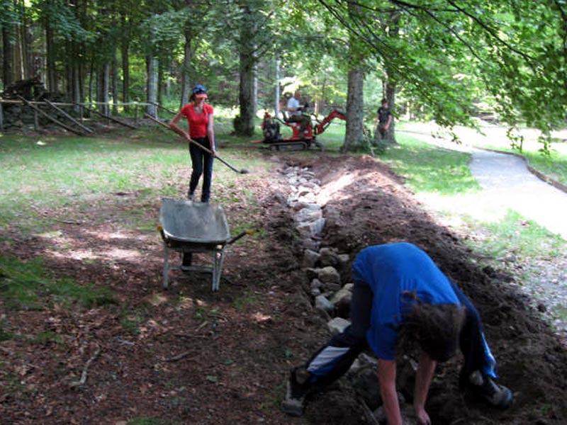
Lagdei drainage works Fare per Capire 2008
Books and Guides
Price: 12.00 €
Price: 18.00 €


© 2024 - Ente Parco Nazionale Appennino Tosco-Emiliano