

Mount Tejalone
Path n.07
- Trail Conditions: On foot
- Interest: Flora, Wildlife, Panorama
- Departure: Isola di Caprera, ai piedi del monte Tejalone
- Arrival: Isola di Caprera, ai piedi del monte Tejaone
- Duration: 45 minutes
- Difficulty Level: Easy
- Length: 1.5 km
- Difference in height: 100m
- Recommended Period: from January to December
The entrance to the path that climbs to Mount Tejalone, the highest peak of the Caprera ridge, is easily identifiable by taking the paved road towards the fortification of Arbuticci, north of the island. Park in the small rest area and following the arrow signs you walk up a steep uphill stretch, under a dense forest of holm oaks ( Quercus ilex ), now a rare trace of original formations once present on the island. In the autumn and winter the holm oak wood becomes the chosen ground for various species of boletus and other brightly colored mushrooms, not all edible, but certainly very scenographic.
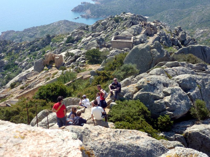
Mt. Tejalone


© 2024 - Ente Parco Nazionale dell'Arcipelago di La Maddalena