


Bianchet mountain hut
Between the beech forests of the Val Vescovà
- Trail Conditions: On foot
- Interest: Flora
- Departure: Val Cordevole, nei pressi della loc.La Pissa (449m)
- Arrival: Rifugio Bianchet (1,245m)
- Duration: 2.5 - 3 hours (climb only)
- Difficulty Level: E - Hiking (level)
- Difference in height: 800m
- Recommended Period: from May to October
The route begins by climbing the concrete staircase located on the side of the Agordina Regional Road. The path crosses a Scots pine forest and reaches the forest road that leads to the refuge. The road climbs the right side of the Val Vescovà, crosses a beautiful beech forest and reaches the Pian dei Gat plateau, where the refuge is located. Bianchet is one of the stopping places of the Alta Via n. 1 and starting point for the beautiful hike that leads, in 2 and a half hours of ascent, to the summit of Monte Coro. From the refuge there is also a panoramic ring route (for expert hikers) that climbs up to La Vareta fork (CAI 518 and 514), reaches casera Vescovà (CAI 536) and, descending along the steep Val Vachera, returns to the refuge. This possible additional ring requires at least 4 hours more walking.
Further information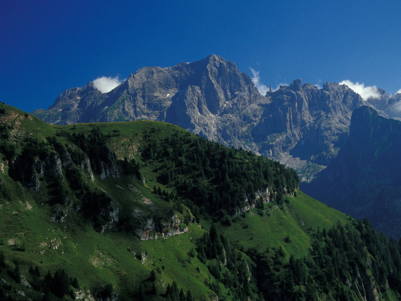
 Download KMZ


