


Valle dell'Ardo
At the foot of Mount Serva
- Trail Conditions: By bike
- Interest: Flora, Wildlife, Geology, Panorama
- Departure: Col di Roanza (841m)
- Arrival: Casera Scala (693m)
- Difficulty Level: MC
- Length: 7.5 km
- Difference in height: 170m
- Minimum Altitude: 693m
- Maximum Altitude: 860m
- Recommended Period: from May to September
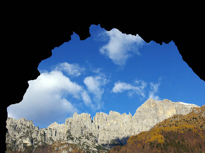
Valle Ardo, Schiara and Gusela
Access: from Belluno follow the signs for Col di Roanza and go up the paved road to the refuge of the same name
Ground: 100% unpaved
Didactic supports: didactic panel of the Park in Col di Roanza
Note: use a flashlight to walk a 500 m long unlit tunnel
From the Col di Roanza refuge go down to the valley for about 250 m, then take the unpaved road on the right (CAI 519 sign). The route proceeds slightly uphill to the entrance of a tunnel. After the tunnel, the road descends, with narrow hairpin bends to the bottom of the Ardo Valley, in the Casera Scala area. From here you return to Col di Roanza for the same route as the outward journey.
 Download KMZ
Protected Area(31.034,00 ha)

Lay-out of the itinerary

Departure

Arrival

Park Authority Offices

Visitor Centers (14)

Where to Sleep* (1)

Where to Eat* (1)

Campsites and camper areas* (2)

Municipalities (15)

Points of Interest (41)

Photos (50)

Videos (113)

Webcam (3)

EV charge ≥100kW (286)

Park's Accesses (6)

Airports (1)

Station (2)

Highway exits (2)
*: only Operators with Accommodation Page


© 2024 - Ente Parco Nazionale delle Dolomiti Bellunesi