


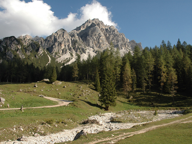
Climbing towards Pramper mountain pasture
In the Park's dolomitic heart
- Trail Conditions: By bike
- Interest: Flora, Wildlife, Geology, Panorama
- Departure: Forno di Zoldo (858m)
- Arrival: Malga Prampèr (1,540m)
- Difficulty Level: MC
- Length: 13.9 km
- Difference in height: 682m
- Minimum Altitude: 858m
- Maximum Altitude: 1,540m
- Recommended Period: from June to September
Shortly after the start, you face an uphill hairpin bend, immediately afterwards turn left following the signs for Pramper hut. The road climbs steeply up to Pra Toront and, after a flat stretch, continues to climb up to the parking lot of Pian de la Fopa, in front of the towers of the Spiz di Mezzodì. After passing the crossroads with the path to the Sora 'l Sass refuge, you enter the Park territory. You continue to climb up to the splendid Pian dei Palui from where, in a short time, you reach Pramper hut, in the center of the wide Val Balanzola, modeled by ancient glaciers. The return takes place on the same ascent route.
Access: at the exit of the town of Forno di Zoldo, take the road that leads to Pralongo. Immediately after the crossroad, park near the church of Sant'Antonio.
Groud: 30% asphalt, 70% unpave
Didactic supports: didactic panels of the Park along the path.
 Download KMZ


